605 E 2nd St Weatherly, PA 18255
Estimated Value: $153,000 - $205,000
3
Beds
1
Bath
1,204
Sq Ft
$154/Sq Ft
Est. Value
About This Home
This home is located at 605 E 2nd St, Weatherly, PA 18255 and is currently estimated at $185,190, approximately $153 per square foot. 605 E 2nd St is a home located in Carbon County with nearby schools including Poplar Halls Elementary School, Oceanair Elementary School, and Weatherly Area Elementary School.
Ownership History
Date
Name
Owned For
Owner Type
Purchase Details
Closed on
Dec 13, 2006
Sold by
Whipple Mildred J
Bought by
Suveg Thomas
Current Estimated Value
Home Financials for this Owner
Home Financials are based on the most recent Mortgage that was taken out on this home.
Original Mortgage
$147,250
Outstanding Balance
$88,038
Interest Rate
6.31%
Mortgage Type
New Conventional
Estimated Equity
$97,152
Purchase Details
Closed on
Jun 5, 2006
Sold by
Whipple Robert W and Whipple Todd
Bought by
Whipple Mildred J
Create a Home Valuation Report for This Property
The Home Valuation Report is an in-depth analysis detailing your home's value as well as a comparison with similar homes in the area
Home Values in the Area
Average Home Value in this Area
Purchase History
| Date | Buyer | Sale Price | Title Company |
|---|---|---|---|
| Suveg Thomas | $155,000 | None Available | |
| Whipple Mildred J | -- | None Available |
Source: Public Records
Mortgage History
| Date | Status | Borrower | Loan Amount |
|---|---|---|---|
| Open | Suveg Thomas | $147,250 |
Source: Public Records
Tax History Compared to Growth
Tax History
| Year | Tax Paid | Tax Assessment Tax Assessment Total Assessment is a certain percentage of the fair market value that is determined by local assessors to be the total taxable value of land and additions on the property. | Land | Improvement |
|---|---|---|---|---|
| 2025 | $3,857 | $49,679 | $8,250 | $41,429 |
| 2024 | $3,708 | $49,679 | $8,250 | $41,429 |
| 2023 | $3,398 | $49,679 | $8,250 | $41,429 |
| 2022 | $3,398 | $49,679 | $8,250 | $41,429 |
| 2021 | $3,348 | $49,679 | $8,250 | $41,429 |
| 2020 | $3,348 | $49,679 | $8,250 | $41,429 |
| 2019 | $3,176 | $49,679 | $8,250 | $41,429 |
| 2018 | $3,105 | $49,679 | $8,250 | $41,429 |
| 2017 | $3,031 | $49,679 | $8,250 | $41,429 |
| 2016 | -- | $49,679 | $8,250 | $41,429 |
| 2015 | -- | $49,679 | $8,250 | $41,429 |
| 2014 | -- | $49,679 | $8,250 | $41,429 |
Source: Public Records
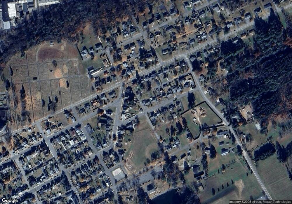
Map
Nearby Homes
- 829 E Main St
- 913A North St
- 6851 Buck Mountain Rd
- 1020 E Main St
- 223 Hudsondale St
- 220 Entwistle St
- 283 Hudsondale St
- 25 Franklin St
- 462 Plane St
- 0 Buck Mountain Rd Unit 747254
- Lot C1.13 Packer Dr
- 0 Packer Dr
- 374 Packer Dr
- 1634 S Lehigh Gorge Dr
- 307 Rockport Rd
- 751 Hudson Dr
- 70 Indian Run Rd
- 0 N Church and Buck Mountain Rd
- 97 Broad St
- 19 3rd St