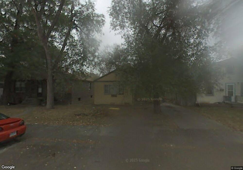
605 E 9th St Alliance, NE 69301
Estimated Value: $119,000 - $130,000
3
Beds
1
Bath
1,080
Sq Ft
$115/Sq Ft
Est. Value
About This Home
This home is located at 605 E 9th St, Alliance, NE 69301 and is currently estimated at $123,683, approximately $114 per square foot. 605 E 9th St is a home located in Box Butte County with nearby schools including Alliance High School, Immanuel Evangelical Lutheran School, and St. Agnes Academy.
Ownership History
Date
Name
Owned For
Owner Type
Purchase Details
Closed on
Aug 17, 2011
Sold by
Steggs Larry A and Steggs Stephen D
Bought by
Saito Russell Y and Ring-Saito Anita M
Current Estimated Value
Home Financials for this Owner
Home Financials are based on the most recent Mortgage that was taken out on this home.
Original Mortgage
$22,500
Interest Rate
4.53%
Mortgage Type
Purchase Money Mortgage
Create a Home Valuation Report for This Property
The Home Valuation Report is an in-depth analysis detailing your home's value as well as a comparison with similar homes in the area
Home Values in the Area
Average Home Value in this Area
Purchase History
| Date | Buyer | Sale Price | Title Company |
|---|---|---|---|
| Saito Russell Y | -- | -- | |
| Saito Russell Y | -- | Kunzman Title |
Source: Public Records
Mortgage History
| Date | Status | Borrower | Loan Amount |
|---|---|---|---|
| Closed | Saito Russell Y | $22,500 |
Source: Public Records
Tax History
| Year | Tax Paid | Tax Assessment Tax Assessment Total Assessment is a certain percentage of the fair market value that is determined by local assessors to be the total taxable value of land and additions on the property. | Land | Improvement |
|---|---|---|---|---|
| 2025 | $1,018 | $85,722 | $4,910 | $80,812 |
| 2024 | $976 | $77,929 | $4,464 | $73,465 |
| 2023 | $1,340 | $77,929 | $4,464 | $73,465 |
| 2022 | $1,185 | $65,096 | $4,216 | $60,880 |
| 2021 | $1,200 | $65,096 | $4,216 | $60,880 |
| 2020 | $1,197 | $65,096 | $4,216 | $60,880 |
| 2019 | $1,169 | $65,096 | $4,216 | $60,880 |
| 2018 | $1,163 | $65,096 | $4,216 | $60,880 |
| 2017 | $486 | $26,171 | $3,224 | $22,947 |
| 2016 | $480 | $26,172 | $3,225 | $22,947 |
| 2015 | $618 | $24,875 | $3,225 | $21,650 |
| 2014 | $618 | $24,844 | $3,224 | $21,620 |
Source: Public Records
Map
Nearby Homes
- 641 E 9th St
- 917 Missouri Ave
- 612 Grand Ave
- 1008 Missouri Ave
- 712 E 7th St
- 620 Hudson Ave
- 523 Potash Ave
- TBD Nebraska 87
- 324 Grand Ave
- 1216 Duncan Ave
- 112 E 11th St
- 114 W 8th St
- 1404 Duncan Ave
- 122 W 4th St
- 1103 Cheyenne Ave
- 506 Cheyenne Ave
- 1232 Cheyenne Ave
- 413 Big Horn Ave
- 719 Toluca Ave
- 223 Sunset Dr
Your Personal Tour Guide
Ask me questions while you tour the home.