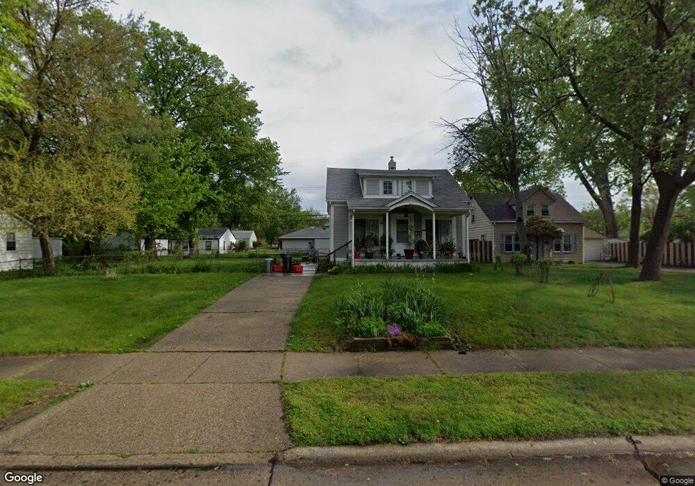
605 E Rowland Ave Madison Heights, MI 48071
Estimated Value: $326,000 - $374,000
3
Beds
4
Baths
1,800
Sq Ft
$193/Sq Ft
Est. Value
About This Home
This home is located at 605 E Rowland Ave, Madison Heights, MI 48071 and is currently estimated at $347,370, approximately $192 per square foot. 605 E Rowland Ave is a home located in Oakland County with nearby schools including Madison High School.
Ownership History
Date
Name
Owned For
Owner Type
Purchase Details
Closed on
Jun 30, 2022
Sold by
Rowland Avenue Llc
Bought by
Bennett Justice and Provencher Sarah
Current Estimated Value
Home Financials for this Owner
Home Financials are based on the most recent Mortgage that was taken out on this home.
Original Mortgage
$173,600
Outstanding Balance
$156,422
Interest Rate
5.1%
Mortgage Type
Balloon
Estimated Equity
$190,948
Purchase Details
Closed on
Jun 14, 2021
Sold by
Provencher Enterprises Llc
Bought by
Rowland Avenue Llc
Create a Home Valuation Report for This Property
The Home Valuation Report is an in-depth analysis detailing your home's value as well as a comparison with similar homes in the area
Home Values in the Area
Average Home Value in this Area
Purchase History
| Date | Buyer | Sale Price | Title Company |
|---|---|---|---|
| Bennett Justice | $217,000 | None Listed On Document | |
| Rowland Avenue Llc | -- | None Available |
Source: Public Records
Mortgage History
| Date | Status | Borrower | Loan Amount |
|---|---|---|---|
| Open | Bennett Justice | $173,600 |
Source: Public Records
Tax History Compared to Growth
Tax History
| Year | Tax Paid | Tax Assessment Tax Assessment Total Assessment is a certain percentage of the fair market value that is determined by local assessors to be the total taxable value of land and additions on the property. | Land | Improvement |
|---|---|---|---|---|
| 2024 | $7,538 | $186,550 | $0 | $0 |
| 2023 | $7,197 | $169,340 | $0 | $0 |
| 2022 | $1,085 | $17,560 | $0 | $0 |
| 2021 | $210 | $8,040 | $0 | $0 |
| 2020 | $174 | $3,300 | $0 | $0 |
| 2019 | $215 | $3,300 | $0 | $0 |
| 2018 | $212 | $3,140 | $0 | $0 |
| 2017 | $207 | $3,140 | $0 | $0 |
| 2016 | $199 | $3,140 | $0 | $0 |
| 2015 | -- | $3,010 | $0 | $0 |
| 2014 | -- | $3,010 | $0 | $0 |
| 2011 | -- | $5,350 | $0 | $0 |
Source: Public Records
Map
Nearby Homes
- 5820 Heights Dr Unit 17 / Building 9
- 38 E Dallas Ave
- 600 E Kalama Ave
- 116 E Kalama Ave
- 71 E Hudson Ave
- 31 W Barrett Ave
- 80 E Mahan Ave
- 867 E Kalama Ave
- 644 E Brickley Ave
- 61 E Brickley Ave
- 931 E Kalama Ave
- 528 E Coy Ave
- 103 W Dallas Ave
- 30 W Kalama Ave
- 853 E Lincoln Ave
- 1212 E Rowland Ave
- 1166 E Kalama Ave
- 627 E Mapledale Ave
- 108 W Kalama Ave
- 550 E Mapledale Ave
- 613 E Rowland Ave
- 591 E Rowland Ave
- 585 E Rowland Ave
- 625 E Rowland Ave
- 584 E Barrett Ave
- 620 E Barrett Ave
- 612 E Barrett Ave
- 577 E Rowland Ave
- 637 E Rowland Ave
- 600 E Rowland Ave
- 569 E Rowland Ave
- 612 E Rowland Ave
- 592 E Rowland Ave
- 586 E Rowland Ave
- 628 E Barrett Ave
- 568 E Barrett Ave
- 636 E Barrett Ave
- 576 E Rowland Ave
- 620 E Rowland Ave
- 628 E Rowland Ave