605 E Wiggins St Superior, CO 80027
Estimated Value: $1,578,580 - $1,935,000
5
Beds
6
Baths
3,449
Sq Ft
$498/Sq Ft
Est. Value
About This Home
This home is located at 605 E Wiggins St, Superior, CO 80027 and is currently estimated at $1,719,145, approximately $498 per square foot. 605 E Wiggins St is a home located in Boulder County with nearby schools including Eldorado K-8 School, Superior Elementary School, and Monarch High School.
Ownership History
Date
Name
Owned For
Owner Type
Purchase Details
Closed on
Dec 30, 1999
Sold by
Kennoy J Lance
Bought by
The J Lance Kennoy Personal Residence Tr
Current Estimated Value
Purchase Details
Closed on
Jan 29, 1998
Sold by
Thompson Derek A and Thompson Janet H
Bought by
Kennoy J Lance
Purchase Details
Closed on
Aug 27, 1991
Bought by
Kennoy J Lance Personal
Purchase Details
Closed on
Apr 9, 1991
Bought by
Kennoy J Lance Personal
Create a Home Valuation Report for This Property
The Home Valuation Report is an in-depth analysis detailing your home's value as well as a comparison with similar homes in the area
Home Values in the Area
Average Home Value in this Area
Purchase History
| Date | Buyer | Sale Price | Title Company |
|---|---|---|---|
| The J Lance Kennoy Personal Residence Tr | -- | -- | |
| Kennoy J Lance | $600,000 | First American | |
| Kennoy J Lance Personal | $491,000 | -- | |
| Kennoy J Lance Personal | $67,500 | -- |
Source: Public Records
Tax History Compared to Growth
Tax History
| Year | Tax Paid | Tax Assessment Tax Assessment Total Assessment is a certain percentage of the fair market value that is determined by local assessors to be the total taxable value of land and additions on the property. | Land | Improvement |
|---|---|---|---|---|
| 2025 | $10,603 | $101,869 | $31,825 | $70,044 |
| 2024 | $10,603 | $101,869 | $31,825 | $70,044 |
| 2023 | $10,458 | $102,329 | $32,207 | $73,807 |
| 2022 | $10,278 | $98,259 | $25,798 | $72,461 |
| 2021 | $10,633 | $105,298 | $27,649 | $77,649 |
| 2020 | $9,133 | $86,923 | $31,675 | $55,248 |
| 2019 | $9,006 | $86,923 | $31,675 | $55,248 |
| 2018 | $9,126 | $87,250 | $19,872 | $67,378 |
| 2017 | $9,328 | $96,460 | $21,970 | $74,490 |
| 2016 | $10,391 | $93,904 | $21,890 | $72,014 |
| 2015 | $9,876 | $79,234 | $31,681 | $47,553 |
| 2014 | $8,413 | $79,234 | $31,681 | $47,553 |
Source: Public Records
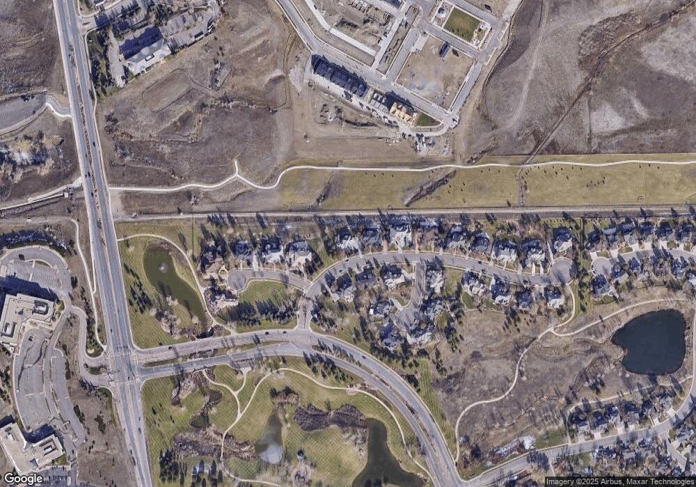
Map
Nearby Homes
- 672 Central Park Cir
- 725 E Wiggins St
- 627 Discovery Pkwy
- 730 Promenade Dr
- 529 Promenade Dr
- 605 Promenade Dr
- 818 Promenade Dr
- 2532 Junegrass Ln
- 2552 Junegrass Ln
- 835 Josephine Way
- 2331 Village Green Way
- 2361 Junegrass Ln
- 2251 Old Rail Way
- 368 Promenade Dr
- 352 Marshall Rd
- 2330 Miner Ln
- 830 Josephine Way
- Athmar Plan at Downtown Superior - Edge
- Wellshire Plan at Downtown Superior - Heights
- Kennedy Plan at Downtown Superior - Edge
- 625 E Wiggins St
- 620 E Wiggins St
- 600 E Wiggins St
- 551 S Brandon Ct
- 645 E Wiggins St
- 690 E Wiggins St
- 903 S Wiley Ct
- 549 S Brandon Ct
- 665 E Wiggins St
- 547 S Brandon Ct
- 905 S Wiley Ct
- 900 S Wiley Ct
- 902 S Wiley Ct
- 705 E Wiggins St
- 545 S Brandon Ct
- 700 E Wiggins St
- 546 S Brandon Ct
- 626 Discovery Pkwy
- 628 Discovery Pkwy
- 624 Discovery Pkwy