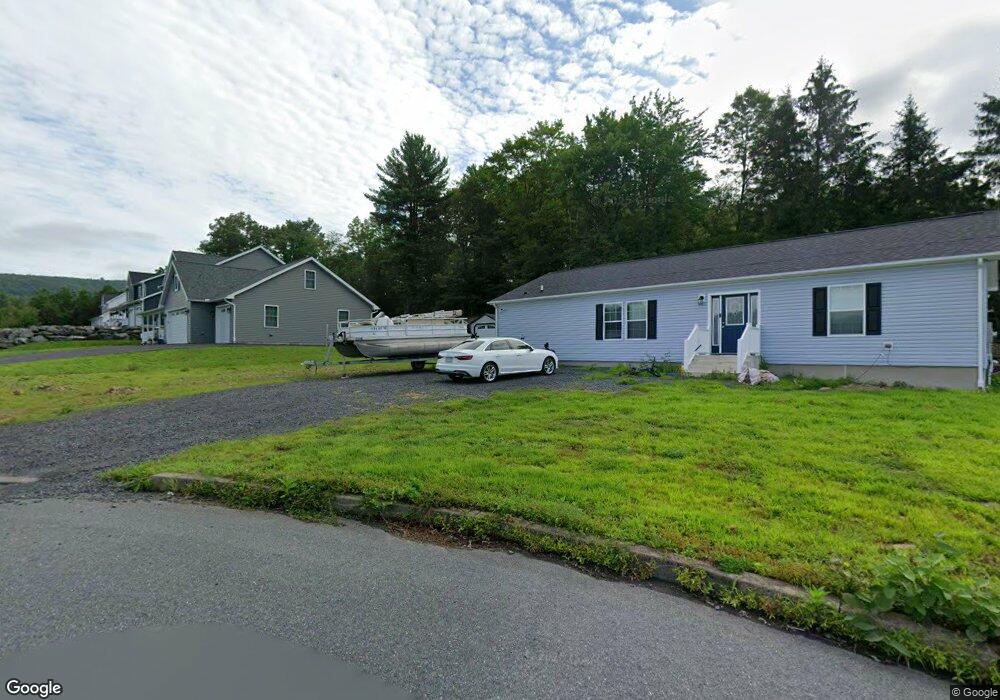
605 Elmwood Ct Saint Clair, PA 17970
Estimated Value: $115,000 - $345,000
3
Beds
2
Baths
1,798
Sq Ft
$136/Sq Ft
Est. Value
About This Home
This home is located at 605 Elmwood Ct, Saint Clair, PA 17970 and is currently estimated at $243,775, approximately $135 per square foot. 605 Elmwood Ct is a home with nearby schools including Saint Clair Area Elementary/Middle School, Gillingham Charter School, and ASSUMPTION BVM SCHOOL.
Ownership History
Date
Name
Owned For
Owner Type
Purchase Details
Closed on
Dec 19, 2022
Sold by
Wright John P and Wright Paula L
Bought by
Meza-Rushanan Devin G and Rushanan Deborah N
Current Estimated Value
Home Financials for this Owner
Home Financials are based on the most recent Mortgage that was taken out on this home.
Original Mortgage
$272,800
Outstanding Balance
$264,614
Interest Rate
6.95%
Mortgage Type
Construction
Estimated Equity
-$20,839
Purchase Details
Closed on
Sep 4, 2014
Sold by
Craig Brandon
Bought by
Wright John P and Wright Paula L
Create a Home Valuation Report for This Property
The Home Valuation Report is an in-depth analysis detailing your home's value as well as a comparison with similar homes in the area
Home Values in the Area
Average Home Value in this Area
Purchase History
| Date | Buyer | Sale Price | Title Company |
|---|---|---|---|
| Meza-Rushanan Devin G | $37,000 | Schuylkill Abstract | |
| Wright John P | $31,000 | None Available |
Source: Public Records
Mortgage History
| Date | Status | Borrower | Loan Amount |
|---|---|---|---|
| Open | Meza-Rushanan Devin G | $272,800 |
Source: Public Records
Tax History Compared to Growth
Tax History
| Year | Tax Paid | Tax Assessment Tax Assessment Total Assessment is a certain percentage of the fair market value that is determined by local assessors to be the total taxable value of land and additions on the property. | Land | Improvement |
|---|---|---|---|---|
| 2025 | $3,047 | $46,330 | $2,775 | $43,555 |
| 2024 | $2,850 | $46,330 | $2,775 | $43,555 |
| 2023 | $162 | $2,775 | $2,775 | $0 |
| 2022 | $162 | $2,775 | $2,775 | $0 |
| 2021 | $164 | $2,775 | $2,775 | $0 |
| 2020 | $164 | $2,775 | $2,775 | $0 |
| 2018 | $161 | $2,775 | $2,775 | $0 |
| 2017 | $154 | $2,775 | $2,775 | $0 |
| 2015 | -- | $2,775 | $2,775 | $0 |
Source: Public Records
Map
Nearby Homes
- Lot 30 Elmwood Ct
- 0 - Lot 10 Elmwood Ct Unit 10
- 229 S Nichols St
- 144 N Mill St
- 10 N Front St
- 12 N Front St
- 8 S Front St
- 101 S 2nd St
- 48 N 2nd St
- 320 S Mill St
- 122 S 3rd St
- 219 S 3rd St
- 438 S Front St
- 0 Caroline Ave Unit PASK2022658
- 225 Cherry St
- 108 Cherry St
- 311 Broad St
- 309 Chestnut St
- 702 & 698 Port Carbon St Clair Hwy
- 665 Port Carbon Saint Clair Hwy
- Lot 12 Elmwood Ct
- 585 Fernwood Ave
- 600 Elmwood Ct
- 561 Fernwood Ave
- 563 Fernwood Ave
- 565 Fernwood Ave
- 567 Fernwood Ave
- 0 Fernwood Ave
- 566 Fernwood Ave
- 568 Fernwood Ave
- 542 Fernwood Ave
- 553 Fernwood Ave
- 555 Fernwood Ave
- 577 Fernwood Ave
- 557 Fernwood Ave
- 559 Fernwood Ave
- 555 E Lawton St
- 565 E Lawton St
- 545 E Lawton St
- 606 E Hancock St