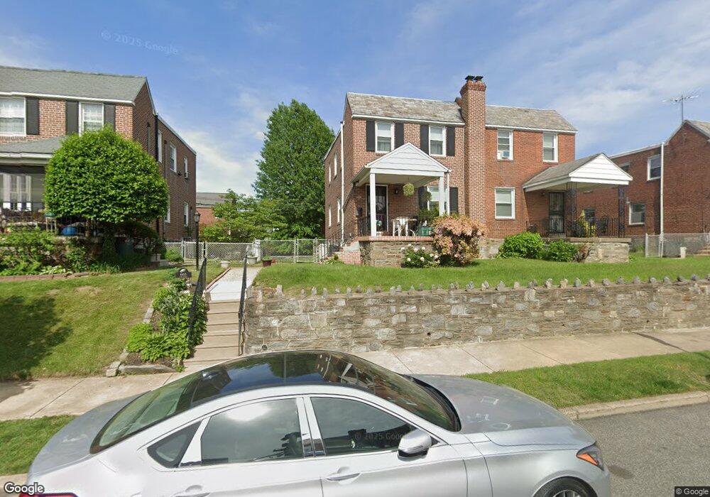
605 Fern St Lansdowne, PA 19050
Estimated Value: $216,000 - $243,000
3
Beds
1
Bath
1,156
Sq Ft
$201/Sq Ft
Est. Value
About This Home
This home is located at 605 Fern St, Lansdowne, PA 19050 and is currently estimated at $231,802, approximately $200 per square foot. 605 Fern St is a home located in Delaware County with nearby schools including Evans Elementary School, Penn Wood Middle School, and Penn Wood High School - Cypress Street Campus.
Ownership History
Date
Name
Owned For
Owner Type
Purchase Details
Closed on
Aug 24, 1998
Sold by
Frignito Virginia
Bought by
Rhoads Dennis and Rhoads Elizabeth
Current Estimated Value
Home Financials for this Owner
Home Financials are based on the most recent Mortgage that was taken out on this home.
Original Mortgage
$75,990
Outstanding Balance
$15,619
Interest Rate
6.75%
Mortgage Type
VA
Estimated Equity
$216,183
Create a Home Valuation Report for This Property
The Home Valuation Report is an in-depth analysis detailing your home's value as well as a comparison with similar homes in the area
Home Values in the Area
Average Home Value in this Area
Purchase History
| Date | Buyer | Sale Price | Title Company |
|---|---|---|---|
| Rhoads Dennis | $74,500 | Commonwealth Land Title Ins |
Source: Public Records
Mortgage History
| Date | Status | Borrower | Loan Amount |
|---|---|---|---|
| Open | Rhoads Dennis | $75,990 |
Source: Public Records
Tax History Compared to Growth
Tax History
| Year | Tax Paid | Tax Assessment Tax Assessment Total Assessment is a certain percentage of the fair market value that is determined by local assessors to be the total taxable value of land and additions on the property. | Land | Improvement |
|---|---|---|---|---|
| 2025 | $4,727 | $110,710 | $35,000 | $75,710 |
| 2024 | $4,727 | $110,710 | $35,000 | $75,710 |
| 2023 | $1,479 | $110,710 | $35,000 | $75,710 |
| 2022 | $4,094 | $110,710 | $35,000 | $75,710 |
| 2021 | $6,191 | $110,710 | $35,000 | $75,710 |
| 2020 | $3,940 | $63,090 | $20,200 | $42,890 |
| 2019 | $3,871 | $63,090 | $20,200 | $42,890 |
| 2018 | $3,817 | $63,090 | $0 | $0 |
| 2017 | $3,737 | $63,090 | $0 | $0 |
| 2016 | $353 | $63,090 | $0 | $0 |
| 2015 | $353 | $63,090 | $0 | $0 |
| 2014 | $353 | $63,090 | $0 | $0 |
Source: Public Records
Map
Nearby Homes
- 536 Cypress St
- 1016 Whitby Ave
- 702 Cedar Ave
- 503 Bonsall Ave
- 407 Church Ln
- 435 Bonsall Ave
- 740 Church Ln
- 711 Yeadon Ave Unit 1
- 530 Orchard Ave
- 722 Yeadon Ave
- 813 Arbor Rd
- 800 Bullock Ave
- 825 Laurel Rd
- 6030 Cedarhurst St
- 1212 S Millick St
- 6013 Baltimore Ave
- 6026 Baltimore Ave
- 1214 S 60th St
- 603 Penn St
- 1201 S Millick St