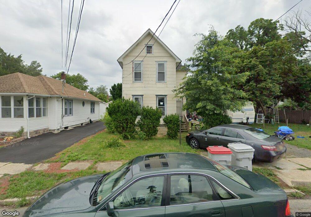
605 Fowler Ave Vineland, NJ 08360
Estimated Value: $202,598 - $281,000
--
Bed
--
Bath
1,244
Sq Ft
$197/Sq Ft
Est. Value
About This Home
This home is located at 605 Fowler Ave, Vineland, NJ 08360 and is currently estimated at $245,650, approximately $197 per square foot. 605 Fowler Ave is a home located in Cumberland County with nearby schools including D'Ippolito Elementary School, Veterans Memorial Intermediate School, and Vineland Senior High School.
Ownership History
Date
Name
Owned For
Owner Type
Purchase Details
Closed on
Sep 10, 2020
Sold by
Jacksonville Ho Invst Llc
Bought by
Daniel Kristie E
Current Estimated Value
Purchase Details
Closed on
Nov 4, 2019
Sold by
Austino Robert A
Bought by
Bank Midfirst
Purchase Details
Closed on
May 24, 1996
Sold by
Ebner John M
Bought by
Rodriguez Carmen and Sola Antonio
Home Financials for this Owner
Home Financials are based on the most recent Mortgage that was taken out on this home.
Original Mortgage
$74,800
Interest Rate
7.91%
Mortgage Type
FHA
Create a Home Valuation Report for This Property
The Home Valuation Report is an in-depth analysis detailing your home's value as well as a comparison with similar homes in the area
Home Values in the Area
Average Home Value in this Area
Purchase History
| Date | Buyer | Sale Price | Title Company |
|---|---|---|---|
| Daniel Kristie E | $33,000 | Misc Company | |
| Bank Midfirst | -- | -- | |
| Rodriguez Carmen | $74,900 | Homestead Title Agency |
Source: Public Records
Mortgage History
| Date | Status | Borrower | Loan Amount |
|---|---|---|---|
| Previous Owner | Rodriguez Carmen | $74,800 |
Source: Public Records
Tax History Compared to Growth
Tax History
| Year | Tax Paid | Tax Assessment Tax Assessment Total Assessment is a certain percentage of the fair market value that is determined by local assessors to be the total taxable value of land and additions on the property. | Land | Improvement |
|---|---|---|---|---|
| 2025 | $3,276 | $102,900 | $25,900 | $77,000 |
| 2024 | $3,276 | $102,900 | $25,900 | $77,000 |
| 2023 | $3,255 | $102,900 | $25,900 | $77,000 |
| 2022 | $3,158 | $102,900 | $25,900 | $77,000 |
| 2021 | $3,100 | $102,900 | $25,900 | $77,000 |
| 2020 | $3,012 | $102,900 | $25,900 | $77,000 |
| 2019 | $2,971 | $102,900 | $25,900 | $77,000 |
| 2018 | $2,893 | $102,900 | $25,900 | $77,000 |
| 2017 | $2,747 | $102,900 | $25,900 | $77,000 |
| 2016 | $2,651 | $102,900 | $25,900 | $77,000 |
| 2015 | $2,553 | $102,900 | $25,900 | $77,000 |
| 2014 | $2,414 | $102,900 | $25,900 | $77,000 |
Source: Public Records
Map
Nearby Homes
- 400 N 7th St
- 636 E Pear St
- 411 N East Ave
- 409 N East Ave
- 818 E Pear St
- 48 N Myrtle St
- 330 W Peach St
- 515 Park Ln
- 1143 N East Ave
- 785 E Oak Rd
- 519 Clarendon Ave
- 1298 W Cornell St
- 3 N State St
- 724 E Grape St
- 1071 E Park Ave
- 108 W Park Ave
- 516 N Valley Ave
- 818 E Grape St
- 1267 Northeast Blvd
- 18 S Myrtle St
- 607 Fowler Ave
- 534 Park Dr
- 550 Crystal Ave
- 547 Park Dr
- 556 Crystal Ave
- 548 Crystal Ave
- 536 Park Dr
- 554 Crystal Ave
- 544 Crystal Ave
- 542 Crystal Ave
- 545 Park Dr
- 538 Park Dr
- 540 Crystal Ave
- 543 Park Dr
- 538 Crystal Ave
- 541 Park Dr
- 536 Crystal Ave
- Block 2327, Lot 2 Division St
- 560 Crystal Ave
- 537 Park Dr