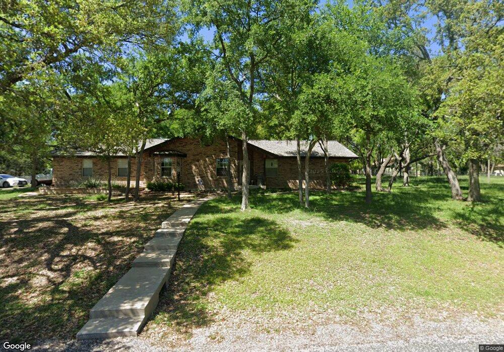
605 Harbor Dr Georgetown, TX 78633
HighPointe NeighborhoodEstimated Value: $479,000 - $594,000
About This Home
This home is located at 605 Harbor Dr, Georgetown, TX 78633 and is currently estimated at $520,470, approximately $282 per square foot. 605 Harbor Dr is a home located in Williamson County with nearby schools including Jo Ann Ford Elementary School, Douglas Benold Middle School, and Georgetown High School.
Ownership History
We collect this data history from publicly available records. To have your information removed, we recommend requesting removal directly through your county’s website.
Purchase Details
Home Financials for this Owner
Home Financials are based on the most recent Mortgage that was taken out on this home.Purchase Details
Home Values in the Area
Average Home Value in this Area
Purchase History
We collect this data history from publicly available records. To have your information removed, we recommend requesting removal directly through your county’s website.
| Date | Buyer | Sale Price | Title Company |
|---|---|---|---|
| -- | Alamo Title Company | ||
| -- | None Available |
Mortgage History
We collect this data history from publicly available records. To have your information removed, we recommend requesting removal directly through your county’s website.
| Date | Status | Borrower | Loan Amount |
|---|---|---|---|
| Open | $32,250 | ||
| Open | $172,000 |
Tax History
We collect this data history from publicly available records. To have your information removed, we recommend requesting removal directly through your county’s website.
| Year | Tax Paid | Tax Assessment Tax Assessment Total Assessment is a certain percentage of the fair market value that is determined by local assessors to be the total taxable value of land and additions on the property. | Land | Improvement |
|---|---|---|---|---|
| 2025 | $5,578 | $450,651 | $109,081 | $341,570 |
| 2024 | $5,578 | $432,607 | -- | -- |
| 2023 | $4,857 | $393,279 | $0 | $0 |
| 2022 | $6,017 | $357,526 | $0 | $0 |
| 2021 | $6,064 | $325,024 | $65,045 | $298,874 |
| 2020 | $5,607 | $295,476 | $55,556 | $239,920 |
| 2019 | $6,142 | $312,109 | $45,684 | $266,425 |
| 2018 | $5,757 | $310,486 | $45,684 | $274,860 |
| 2017 | $5,587 | $282,260 | $43,302 | $238,958 |
| 2016 | $5,831 | $294,587 | $36,156 | $258,431 |
| 2015 | $4,653 | $270,306 | $36,156 | $240,543 |
| 2014 | $4,653 | $245,733 | $0 | $0 |
Map
- 203 Shoal Dr
- 200 Harbor Cir
- 14550 Rr 2338
- 136 Valley View Rd
- 511 County Road 262
- 75 Four T Ranch Rd
- 410 Shady Tree Dr
- 175 Whitney Woods Cir
- 525 W Ridgewood Rd
- TBD Oakland Rd
- 401 Highland Bluff Dr
- 305 Shady Tree Dr
- 272 Whitney Woods Cir
- 113 Crystal Ln
- 128 Mockingbird Ln
- 106 Starlight Trail
- 104 Highland Spring Ln
- 110 Starlight Trail
- 309 Highland Spring Ln
- 105 Arrowhead Rd
Ask me questions while you tour the home.