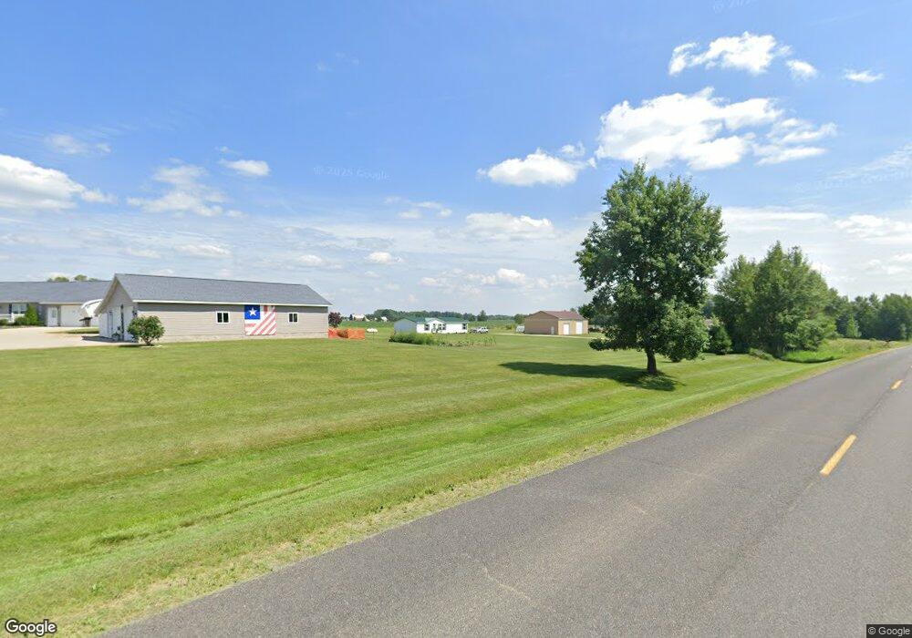
605 Harlin Ct West Branch, MI 48661
Estimated Value: $229,000 - $350,000
--
Bed
--
Bath
--
Sq Ft
5.1
Acres
About This Home
This home is located at 605 Harlin Ct, West Branch, MI 48661 and is currently estimated at $276,778. 605 Harlin Ct is a home located in Ogemaw County with nearby schools including Surline Elementary School, Surline Middle School, and Ogemaw Heights High School.
Ownership History
Date
Name
Owned For
Owner Type
Purchase Details
Closed on
Aug 30, 2014
Sold by
Charles J'Roy Charles J'Roy
Bought by
Drumm William Lloyd
Current Estimated Value
Purchase Details
Closed on
Aug 18, 2014
Sold by
William L William L and Drumm Julie M
Bought by
Drumm William L and Drumm Julie M
Purchase Details
Closed on
Aug 4, 2000
Bought by
Drumm William L
Create a Home Valuation Report for This Property
The Home Valuation Report is an in-depth analysis detailing your home's value as well as a comparison with similar homes in the area
Home Values in the Area
Average Home Value in this Area
Purchase History
| Date | Buyer | Sale Price | Title Company |
|---|---|---|---|
| Drumm William Lloyd | -- | -- | |
| Drumm William L | -- | -- | |
| Drumm William L | $18,500 | -- |
Source: Public Records
Tax History Compared to Growth
Tax History
| Year | Tax Paid | Tax Assessment Tax Assessment Total Assessment is a certain percentage of the fair market value that is determined by local assessors to be the total taxable value of land and additions on the property. | Land | Improvement |
|---|---|---|---|---|
| 2025 | $2,442 | $130,400 | $0 | $0 |
| 2024 | $12 | $127,200 | $0 | $0 |
| 2023 | $1,185 | $115,500 | $0 | $0 |
| 2022 | $2,287 | $102,200 | $0 | $0 |
| 2021 | $2,129 | $97,300 | $0 | $0 |
| 2020 | $2,195 | $90,100 | $0 | $0 |
| 2019 | $1,939 | $86,600 | $0 | $0 |
| 2018 | $1,919 | $85,700 | $0 | $0 |
| 2017 | $1,595 | $84,800 | $0 | $0 |
| 2016 | $1,578 | $81,900 | $0 | $0 |
| 2015 | $1,573 | $80,800 | $0 | $0 |
| 2014 | $740 | $74,000 | $0 | $0 |
Source: Public Records
Map
Nearby Homes
- 1380 S Campbell Rd
- 409 S Morrison Rd
- 2249 W State Rd
- 2388 Dam Rd
- 2190 Fox Run
- 2249 Fox Run
- 2371 Pilatus Ct
- 2301 Birchcrest Dr
- 0 Jonathan Ct Unit 11 1926460
- 0 Jonathan Ct Unit 12 1926461
- 0 Jonathan Ct Unit 1926470
- 0 Jonathan Ct Unit 10 1926458
- 0 Arthur Ct Unit 1926554
- 0 Arthur Ct Unit 1926537
- 0 Arthur Ct Unit 1926536
- 0 Arthur Ct Unit 1926540
- 0 Arthur Ct Unit 1926549
- 0 Arthur Ct Unit 1926541
- 0 Arthur Ct Unit 17 1926507
- 0 Arthur Ct Unit 1926545
- 655 Harlin Ct
- 0 Harlin Ct Unit 1762100
- 0 Harlin Ct Unit 1762085
- 0 Harlin Ct Unit 1799826
- 1415 Brick Rd
- 733 Harlin Ct
- 674 Harlin Ct
- 736 Harlin Ct
- 680 Mier Dr
- 1425 Brick Rd
- 1275 Brick Rd
- 628 W Finerty Rd
- 1330 Brick Rd
- 1360 Brick Rd
- 580 W Finerty Rd
- 1324 Brick Rd
- 1442 S Campbell Rd
- 596 W Finerty Rd
- 1300 Brick Rd
- 560 W Finerty Rd