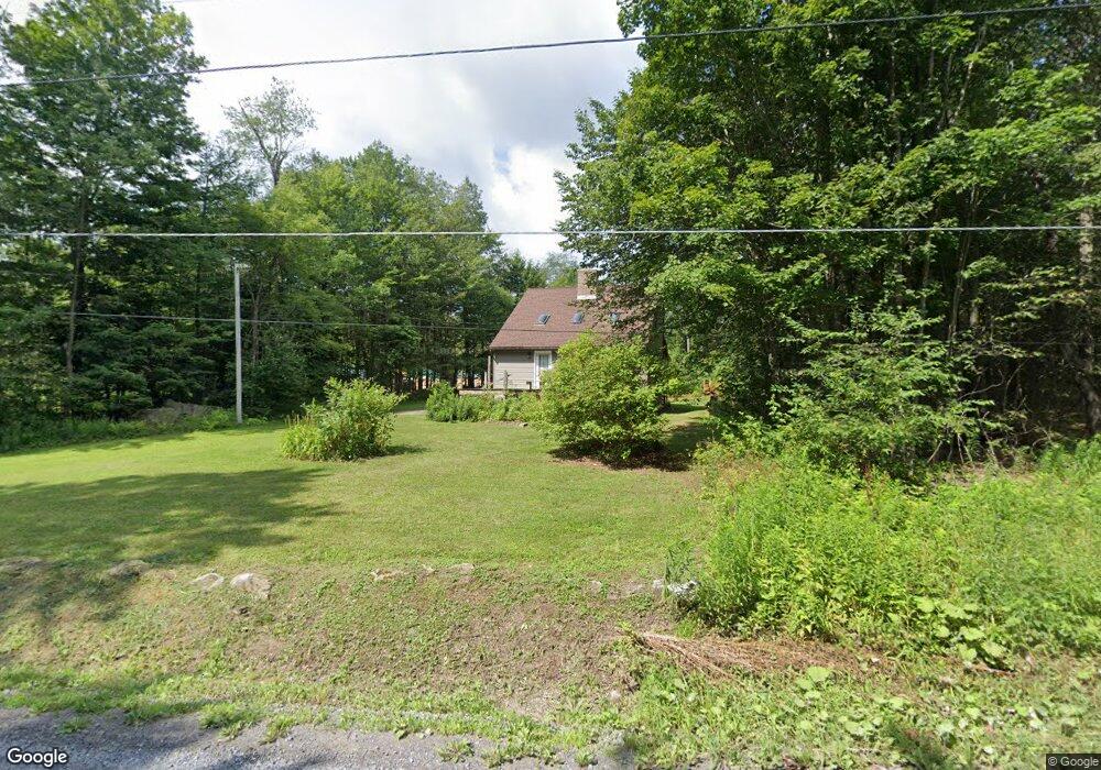
605 Irish Farm Rd Coudersport, PA 16915
Estimated Value: $103,448 - $282,000
3
Beds
2
Baths
1,344
Sq Ft
$127/Sq Ft
Est. Value
About This Home
This home is located at 605 Irish Farm Rd, Coudersport, PA 16915 and is currently estimated at $170,362, approximately $126 per square foot. 605 Irish Farm Rd is a home located in Potter County with nearby schools including Coudersport Area Elementary School and Coudersport Area Junior/Senior High School.
Ownership History
Date
Name
Owned For
Owner Type
Purchase Details
Closed on
Feb 1, 2011
Sold by
Mongold Thomas B and Mongold Timothy C
Bought by
Carcaise Patricia R and Carcaise Elaine M
Current Estimated Value
Purchase Details
Closed on
Nov 28, 2008
Sold by
Leber Jeffrey E and Leber Barbara A
Bought by
Mongold Thomas B and Mongold Timothy C
Home Financials for this Owner
Home Financials are based on the most recent Mortgage that was taken out on this home.
Original Mortgage
$53,802
Interest Rate
6.27%
Mortgage Type
Purchase Money Mortgage
Purchase Details
Closed on
Oct 23, 2008
Sold by
Lauber Lawrence L and Lauber Morgan
Bought by
Leber Jeffrey E and Leber Barbara A
Home Financials for this Owner
Home Financials are based on the most recent Mortgage that was taken out on this home.
Original Mortgage
$53,802
Interest Rate
6.27%
Mortgage Type
Purchase Money Mortgage
Create a Home Valuation Report for This Property
The Home Valuation Report is an in-depth analysis detailing your home's value as well as a comparison with similar homes in the area
Home Values in the Area
Average Home Value in this Area
Purchase History
| Date | Buyer | Sale Price | Title Company |
|---|---|---|---|
| Carcaise Patricia R | $62,500 | None Available | |
| Mongold Thomas B | $145,700 | None Available | |
| Leber Jeffrey E | -- | None Available |
Source: Public Records
Mortgage History
| Date | Status | Borrower | Loan Amount |
|---|---|---|---|
| Previous Owner | Mongold Thomas B | $53,802 |
Source: Public Records
Tax History Compared to Growth
Tax History
| Year | Tax Paid | Tax Assessment Tax Assessment Total Assessment is a certain percentage of the fair market value that is determined by local assessors to be the total taxable value of land and additions on the property. | Land | Improvement |
|---|---|---|---|---|
| 2025 | $2,580 | $34,480 | $3,120 | $31,360 |
| 2024 | $2,391 | $34,480 | $3,120 | $31,360 |
| 2023 | $2,322 | $34,480 | $3,120 | $31,360 |
| 2022 | $2,270 | $34,480 | $3,120 | $31,360 |
| 2021 | $2,270 | $34,480 | $3,120 | $31,360 |
| 2020 | $2,270 | $34,480 | $3,120 | $31,360 |
| 2019 | $2,270 | $34,480 | $3,120 | $31,360 |
| 2018 | $2,236 | $34,480 | $3,120 | $31,360 |
| 2017 | -- | $34,480 | $3,120 | $31,360 |
| 2016 | $2,201 | $34,480 | $3,120 | $31,360 |
| 2015 | -- | $34,480 | $3,120 | $31,360 |
| 2012 | -- | $34,480 | $3,120 | $31,360 |
Source: Public Records
Map
Nearby Homes
- 1060 Brookland Rd
- 00 Brookland Rd
- 1070
- 1060 Brookland Road (Lot C)
- 130 Cherry Springs Rd
- 151 Ice Mine Rd
- 860 Cherry Springs Rd
- 230 Howards Dr
- 514 Kidney Rd
- 15 Troupe Rd
- 170 Sunrise Ridge Rd
- 00 Buffalo St
- Lot 4 Crandall St
- 32 Phoebe Ln
- 1574 N Ayers Hill Rd
- 478 E 2nd St
- 313 N Brookland Rd
- 313 N Brookland Rd N
- 1358 S Brookland Rd
- 0 N Brookland Rd Unit 31722991