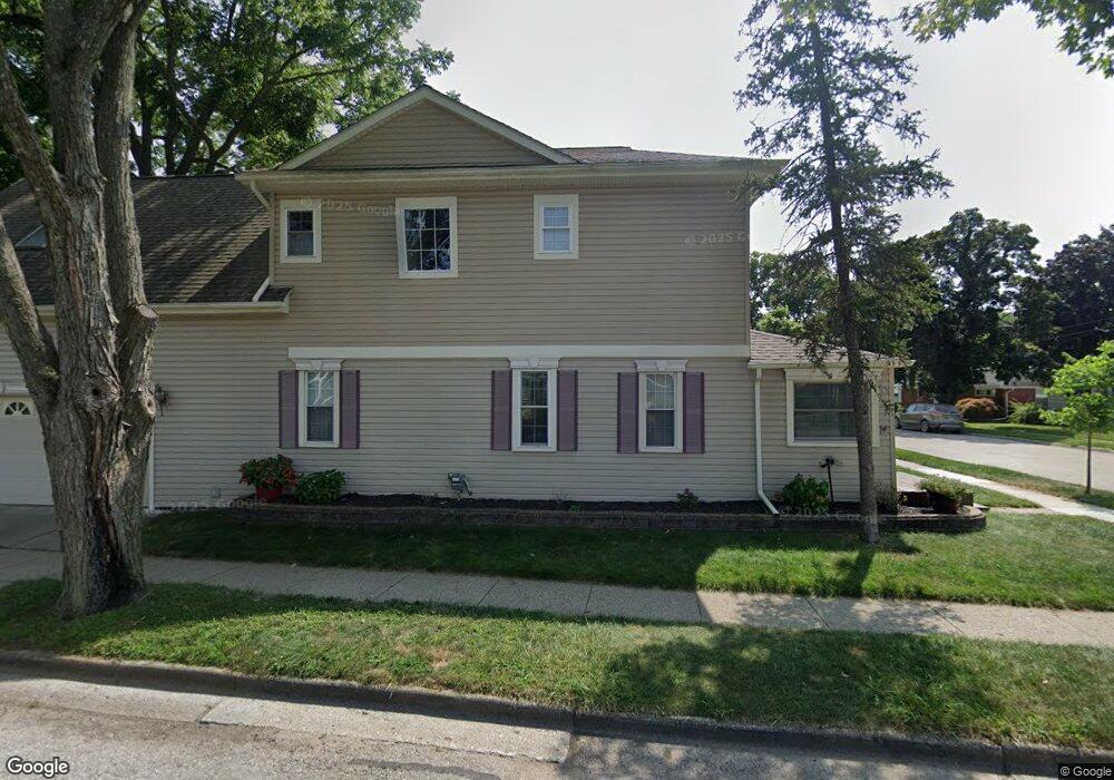
605 Kellogg St Plymouth, MI 48170
Estimated Value: $407,000 - $587,000
2
Beds
2
Baths
2,070
Sq Ft
$255/Sq Ft
Est. Value
About This Home
This home is located at 605 Kellogg St, Plymouth, MI 48170 and is currently estimated at $526,986, approximately $254 per square foot. 605 Kellogg St is a home located in Wayne County with nearby schools including Canton High School, Smith Elementary School, and East Middle School.
Ownership History
Date
Name
Owned For
Owner Type
Purchase Details
Closed on
Sep 8, 2017
Sold by
Bratney Brian T and Bratney Bethany L
Bought by
Bratney Brian T and Bratney Bethany L
Current Estimated Value
Purchase Details
Closed on
Apr 30, 2012
Sold by
Bratney Brian and Bratney Bethany
Bought by
Bratney Brian and Bratney Bethany
Purchase Details
Closed on
May 25, 2010
Sold by
Rosol Daniel D and Rosol Stacey J
Bought by
Bratney Brian and Lalonde Bethany
Purchase Details
Closed on
Sep 19, 1996
Sold by
Gothe Evelyn and Gothe Ora J
Bought by
Daniel D and Rosol Stacey J
Create a Home Valuation Report for This Property
The Home Valuation Report is an in-depth analysis detailing your home's value as well as a comparison with similar homes in the area
Home Values in the Area
Average Home Value in this Area
Purchase History
| Date | Buyer | Sale Price | Title Company |
|---|---|---|---|
| Bratney Brian T | -- | None Available | |
| Bratney Brian | -- | Complete Title Services | |
| Bratney Brian | $230,000 | Title Direct | |
| Daniel D | $90,000 | -- |
Source: Public Records
Tax History Compared to Growth
Tax History
| Year | Tax Paid | Tax Assessment Tax Assessment Total Assessment is a certain percentage of the fair market value that is determined by local assessors to be the total taxable value of land and additions on the property. | Land | Improvement |
|---|---|---|---|---|
| 2025 | $5,812 | $241,700 | $0 | $0 |
| 2024 | $5,812 | $221,400 | $0 | $0 |
| 2023 | $5,661 | $215,700 | $0 | $0 |
| 2022 | $6,000 | $200,100 | $0 | $0 |
| 2021 | $5,814 | $196,300 | $0 | $0 |
| 2020 | $5,799 | $190,300 | $0 | $0 |
| 2019 | $5,106 | $169,800 | $0 | $0 |
| 2018 | $4,959 | $158,100 | $0 | $0 |
| 2017 | $1,051 | $152,800 | $0 | $0 |
| 2016 | $4,285 | $123,200 | $0 | $0 |
| 2015 | $9,815 | $110,970 | $0 | $0 |
| 2013 | $9,508 | $102,200 | $0 | $0 |
| 2011 | -- | $90,410 | $0 | $0 |
Source: Public Records
Map
Nearby Homes
- 684 Harding St
- 543 Deer St
- 628 Maple St
- 644 Maple St
- 636 Maple St
- 660 Maple St
- 668 Maple St
- 525 W Ann Arbor Trail
- 775 Deer Ct Unit 104
- 801 W Ann Arbor Trail Unit 306
- 381 Hamilton St
- 730 Penniman Ave Unit 205
- 300 Hamilton St Unit 201
- 300 Hamilton St Unit 306
- 638 S Harvey St
- 278 Maple St
- 256 Maple St
- 190 Hamilton St
- 553 Jener Place
- 42384 Gateway Dr
- 615 Kellogg St
- 589 Kellogg St
- 635 Kellogg St
- 545 Wing St
- 608 Kellogg St
- 526 Wing St
- 618 Kellogg St
- 575 Kellogg St
- 628 Harding St
- 647 Kellogg St
- 614 Harding St
- 586 Harding St
- 592 Kellogg St
- 641 Wing St
- 592 Kellogg St
- 646 Kellogg St
- 644 Harding St
- 665 Kellogg St
- 561 Kellogg St
- 688 Kellogg St Unit Bldg-Unit