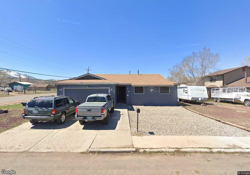
605 N Newton St Williams, AZ 86046
Estimated Value: $396,000 - $439,364
3
Beds
2
Baths
134
Sq Ft
$3,137/Sq Ft
Est. Value
About This Home
This home is located at 605 N Newton St, Williams, AZ 86046 and is currently estimated at $420,341, approximately $3,136 per square foot. 605 N Newton St is a home located in Coconino County with nearby schools including Williams Elementary/Middle School, Williams High School, and Heritage Elementary - Williams.
Ownership History
Date
Name
Owned For
Owner Type
Purchase Details
Closed on
Mar 21, 2014
Sold by
Lewis Gladys N
Bought by
Bowen Kenneth R and Bowen Casey F
Current Estimated Value
Home Financials for this Owner
Home Financials are based on the most recent Mortgage that was taken out on this home.
Original Mortgage
$168,547
Outstanding Balance
$127,315
Interest Rate
4.25%
Mortgage Type
VA
Estimated Equity
$293,026
Purchase Details
Closed on
May 27, 2010
Sold by
Lewis Gladys N
Bought by
Lewis Gladys N
Create a Home Valuation Report for This Property
The Home Valuation Report is an in-depth analysis detailing your home's value as well as a comparison with similar homes in the area
Home Values in the Area
Average Home Value in this Area
Purchase History
| Date | Buyer | Sale Price | Title Company |
|---|---|---|---|
| Bowen Kenneth R | $165,000 | Pioneer Title Agency Inc | |
| Lewis Gladys N | -- | None Available |
Source: Public Records
Mortgage History
| Date | Status | Borrower | Loan Amount |
|---|---|---|---|
| Open | Bowen Kenneth R | $168,547 |
Source: Public Records
Tax History Compared to Growth
Tax History
| Year | Tax Paid | Tax Assessment Tax Assessment Total Assessment is a certain percentage of the fair market value that is determined by local assessors to be the total taxable value of land and additions on the property. | Land | Improvement |
|---|---|---|---|---|
| 2025 | $1,289 | $33,184 | -- | -- |
| 2024 | $1,289 | $31,712 | -- | -- |
| 2023 | $1,175 | $23,986 | $0 | $0 |
| 2022 | $1,175 | $19,987 | $0 | $0 |
| 2021 | $1,145 | $19,461 | $0 | $0 |
| 2020 | $1,119 | $18,208 | $0 | $0 |
| 2019 | $1,085 | $16,407 | $0 | $0 |
| 2018 | $1,042 | $15,796 | $0 | $0 |
| 2017 | $1,029 | $14,106 | $0 | $0 |
| 2016 | $968 | $12,713 | $0 | $0 |
| 2015 | $945 | $12,579 | $0 | $0 |
Source: Public Records
Map
Nearby Homes
- 725 N Humbolt St
- 00 W Fulton Ave
- 701 N Airport Rd
- 410 N Locust St Unit 18
- 500 Grand Canyon Ave
- 1028 W Rogers Ave
- 344 E Route 66
- 201 S Slagel St
- 106 W Sherman Ave
- 304 S 4th St
- 277 Pinecrest Trail Unit 59
- 316 N Morse Ave
- 412 S 1st St
- 1012 Foothill Rd
- 165 Pinecrest Trail
- 411 S 6th St
- 500 W Meade Ave
- 407 S 7th St
- 215 W Hancock Ave
- 733 S 3rd St
- 609 N Newton St
- 101 E Edison Ave
- 610 N 1st St
- 604 N 1st St
- 222 E Edison Ave
- 222 E Edison Ave Unit 3
- 621 N Newton St
- 614 N 1st St
- 610 N Newton St Unit C
- 610 N Newton St Unit D
- 610 N Newton St
- 102 E Edison Ave
- 618 N 1st St
- 202 E Edison Ave
- 622 N 1st St
- 622 N Newton St
- 420 S 1st St
- 420 N 1st St
- 218 E Edison Ave
- 701 N Newton St