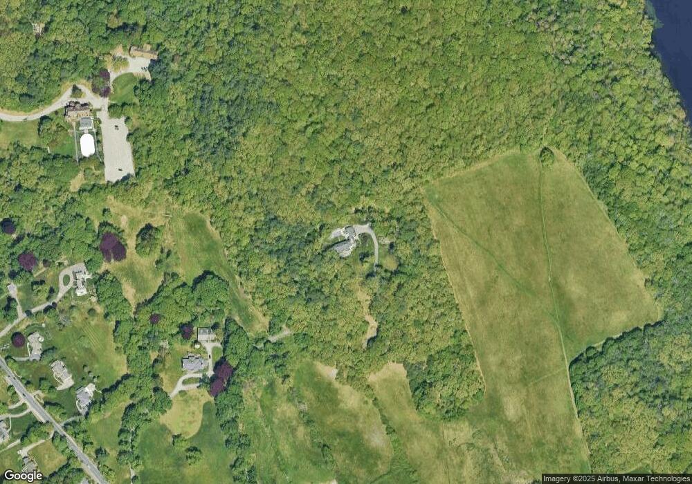
605 Osgood St North Andover, MA 01845
Estimated Value: $1,236,000 - $2,238,000
4
Beds
4
Baths
4,237
Sq Ft
$407/Sq Ft
Est. Value
About This Home
This home is located at 605 Osgood St, North Andover, MA 01845 and is currently estimated at $1,724,657, approximately $407 per square foot. 605 Osgood St is a home located in Essex County with nearby schools including Kittredge Elementary School, North Andover Middle School, and North Andover High School.
Ownership History
Date
Name
Owned For
Owner Type
Purchase Details
Closed on
Jan 22, 2008
Sold by
T For Public Land
Bought by
Keith Douglas D and Keith Kathleen M
Current Estimated Value
Home Financials for this Owner
Home Financials are based on the most recent Mortgage that was taken out on this home.
Original Mortgage
$417,000
Outstanding Balance
$261,292
Interest Rate
6.02%
Mortgage Type
Purchase Money Mortgage
Estimated Equity
$1,463,365
Purchase Details
Closed on
Nov 22, 2006
Sold by
Trust For Public Land
Bought by
North Andover Town Of
Purchase Details
Closed on
Jun 1, 2006
Sold by
Cullen Albert F and Cullen Maeve M
Bought by
T For Public Land
Create a Home Valuation Report for This Property
The Home Valuation Report is an in-depth analysis detailing your home's value as well as a comparison with similar homes in the area
Home Values in the Area
Average Home Value in this Area
Purchase History
| Date | Buyer | Sale Price | Title Company |
|---|---|---|---|
| Keith Douglas D | $900,000 | -- | |
| North Andover Town Of | $1,035,000 | -- | |
| T For Public Land | $2,400,000 | -- |
Source: Public Records
Mortgage History
| Date | Status | Borrower | Loan Amount |
|---|---|---|---|
| Open | Keith Douglas D | $417,000 |
Source: Public Records
Tax History Compared to Growth
Tax History
| Year | Tax Paid | Tax Assessment Tax Assessment Total Assessment is a certain percentage of the fair market value that is determined by local assessors to be the total taxable value of land and additions on the property. | Land | Improvement |
|---|---|---|---|---|
| 2025 | $17,601 | $1,563,100 | $428,200 | $1,134,900 |
| 2024 | $16,785 | $1,513,500 | $406,400 | $1,107,100 |
| 2023 | $15,891 | $1,298,300 | $343,100 | $955,200 |
| 2022 | $15,079 | $1,114,500 | $299,500 | $815,000 |
| 2021 | $14,628 | $1,032,300 | $273,400 | $758,900 |
| 2020 | $14,093 | $1,025,700 | $266,800 | $758,900 |
| 2019 | $13,755 | $1,025,700 | $266,800 | $758,900 |
| 2018 | $14,903 | $1,025,700 | $266,800 | $758,900 |
| 2017 | $13,667 | $957,100 | $233,500 | $723,600 |
| 2016 | $12,840 | $899,800 | $235,600 | $664,200 |
| 2015 | $12,434 | $864,100 | $222,200 | $641,900 |
Source: Public Records
Map
Nearby Homes
- 12 Walker Rd Unit 6
- 5 Walker Rd Unit 3
- 64 E Water St
- 33 Upland St
- 0 Great Pond Rd
- 15 Furber Ave
- 29 Brightwood Ave
- 35 Bonny Ln
- 385 Sutton St
- 62 Brightwood Ave
- 84 Mill Pond Unit 84
- 84 Mill Pond
- 98 Mill Pond
- 112 Mill Pond
- 116 Mill Pond
- 64 Cochichewick Dr
- 16 Court St
- 148 Main St Unit O102
- 148 Main St Unit F444
- 148 Main St Unit S327