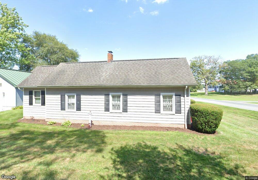
605 Railway St Sharptown, MD 21861
Estimated Value: $219,000 - $304,000
--
Bed
2
Baths
2,223
Sq Ft
$118/Sq Ft
Est. Value
About This Home
This home is located at 605 Railway St, Sharptown, MD 21861 and is currently estimated at $262,666, approximately $118 per square foot. 605 Railway St is a home located in Wicomico County with nearby schools including Northwestern Elementary School.
Ownership History
Date
Name
Owned For
Owner Type
Purchase Details
Closed on
Feb 5, 2015
Sold by
Spires Thomas C and Spires Marie P
Bought by
Parry Bruce and Parry Betty
Current Estimated Value
Purchase Details
Closed on
Jan 25, 1982
Sold by
Cunningham Joseph J and Cunningham Eleanor T
Bought by
Spires Thomas C and Spires Marie P
Home Financials for this Owner
Home Financials are based on the most recent Mortgage that was taken out on this home.
Original Mortgage
$8,500
Interest Rate
17.61%
Create a Home Valuation Report for This Property
The Home Valuation Report is an in-depth analysis detailing your home's value as well as a comparison with similar homes in the area
Home Values in the Area
Average Home Value in this Area
Purchase History
| Date | Buyer | Sale Price | Title Company |
|---|---|---|---|
| Parry Bruce | $150,000 | Delmarva Title | |
| Spires Thomas C | $10,000 | -- |
Source: Public Records
Mortgage History
| Date | Status | Borrower | Loan Amount |
|---|---|---|---|
| Previous Owner | Spires Thomas C | $8,500 |
Source: Public Records
Tax History Compared to Growth
Tax History
| Year | Tax Paid | Tax Assessment Tax Assessment Total Assessment is a certain percentage of the fair market value that is determined by local assessors to be the total taxable value of land and additions on the property. | Land | Improvement |
|---|---|---|---|---|
| 2025 | $1,581 | $182,133 | $0 | $0 |
| 2024 | $1,581 | $164,867 | $0 | $0 |
| 2023 | $1,459 | $147,600 | $24,100 | $123,500 |
| 2022 | $1,448 | $142,100 | $0 | $0 |
| 2021 | $1,352 | $136,600 | $0 | $0 |
| 2020 | $1,352 | $131,100 | $24,100 | $107,000 |
| 2019 | $1,344 | $128,433 | $0 | $0 |
| 2018 | $1,323 | $125,767 | $0 | $0 |
| 2017 | $1,295 | $123,100 | $0 | $0 |
| 2016 | -- | $121,467 | $0 | $0 |
| 2015 | $1,372 | $119,833 | $0 | $0 |
| 2014 | $1,372 | $118,200 | $0 | $0 |
Source: Public Records
Map
Nearby Homes
- 603 Ferry St
- 507 Ferry St
- 611 Main St
- 0 Quinton Rd Unit MDWC2009044
- 407 Main St
- 715 Main St
- 605 4th St
- 605 State St
- 0 Sharptown Line Rd
- 0 Callaway Wharf Rd
- 11654 Norris Twilley Rd
- 33016 Forest Knoll Dr
- 33015 Forest Knoll Dr
- 5611 Galestown Rd
- 11511 Old School Rd
- 5880 Wheatley Church Rd
- Lot 1 Old Sharptown Rd
- 11285 Snethen Church Rd
- 11453 Riverton Rd
- 6108 Delaware Line-Reliance Rd