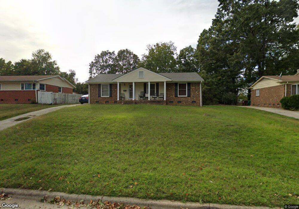
605 Runyon Dr High Point, NC 27260
Greater High Point NeighborhoodEstimated Value: $190,000 - $228,000
4
Beds
2
Baths
1,636
Sq Ft
$133/Sq Ft
Est. Value
About This Home
This home is located at 605 Runyon Dr, High Point, NC 27260 and is currently estimated at $217,088, approximately $132 per square foot. 605 Runyon Dr is a home located in Guilford County with nearby schools including Jamestown Elementary School, Southwest Guilford Middle School, and Southwest Guilford High School.
Ownership History
Date
Name
Owned For
Owner Type
Purchase Details
Closed on
Dec 2, 1999
Sold by
Monopolt Investments Inc
Bought by
Sumpter Vicky
Current Estimated Value
Home Financials for this Owner
Home Financials are based on the most recent Mortgage that was taken out on this home.
Original Mortgage
$73,950
Interest Rate
7.94%
Mortgage Type
Balloon
Create a Home Valuation Report for This Property
The Home Valuation Report is an in-depth analysis detailing your home's value as well as a comparison with similar homes in the area
Home Values in the Area
Average Home Value in this Area
Purchase History
| Date | Buyer | Sale Price | Title Company |
|---|---|---|---|
| Sumpter Vicky | $87,000 | -- |
Source: Public Records
Mortgage History
| Date | Status | Borrower | Loan Amount |
|---|---|---|---|
| Closed | Sumpter Vicky | $73,950 | |
| Closed | Sumpter Vicky | $8,700 |
Source: Public Records
Tax History
| Year | Tax Paid | Tax Assessment Tax Assessment Total Assessment is a certain percentage of the fair market value that is determined by local assessors to be the total taxable value of land and additions on the property. | Land | Improvement |
|---|---|---|---|---|
| 2025 | $1,951 | $141,600 | $25,000 | $116,600 |
| 2024 | $1,951 | $141,600 | $25,000 | $116,600 |
| 2023 | $1,951 | $141,600 | $25,000 | $116,600 |
| 2022 | $1,909 | $141,600 | $25,000 | $116,600 |
| 2021 | $1,098 | $79,700 | $13,000 | $66,700 |
| 2020 | $1,098 | $79,700 | $13,000 | $66,700 |
| 2019 | $1,098 | $79,700 | $0 | $0 |
| 2018 | $1,093 | $79,700 | $0 | $0 |
| 2017 | $1,098 | $79,700 | $0 | $0 |
| 2016 | $1,074 | $76,600 | $0 | $0 |
| 2015 | $1,080 | $76,600 | $0 | $0 |
| 2014 | $1,098 | $76,600 | $0 | $0 |
Source: Public Records
Map
Nearby Homes
- 1456 London Dr
- 1514 Kingsway Dr
- 1451 Finsbury Ln
- 120 Orville Dr
- 600 Hendrix St
- 122 Orville Dr
- 615 Hendrix St
- 735 Hendrix St
- 737 Hendrix St
- 211 Spencer St
- 206 Paramount St
- 1227 Greensboro Rd
- 1005 Gordon St
- 1007 Gordon St
- 2305 Delaware Place
- 509 Valleybrook Dr
- 507 Valleybrook Dr
- 2209 Gable Way
- 404 Hickory Chapel Rd
- 1136 Montlieu Ave
- 603 Runyon Dr
- 510 Rosecrest Dr
- 600 Rosecrest Dr
- 609 Runyon Dr
- 602 Rosecrest Dr
- 508 Rosecrest Dr
- 602 Runyon Dr
- 604 Rosecrest Dr
- 611 Runyon Dr
- 507 Runyon Dr
- 604 Runyon Dr
- 600 Runyon Dr
- 506 Rosecrest Dr
- 606 Runyon Dr
- 606 Rosecrest Dr
- 613 Runyon Dr
- 505 Runyon Dr
- 608 Runyon Dr
- 504 Rosecrest Dr
- 603 Oneil St
Your Personal Tour Guide
Ask me questions while you tour the home.