605 S Point Rd Shelby, MI 49455
Estimated Value: $323,366 - $633,000
--
Bed
--
Bath
--
Sq Ft
0.33
Acres
About This Home
This home is located at 605 S Point Rd, Shelby, MI 49455 and is currently estimated at $456,092. 605 S Point Rd is a home with nearby schools including Shelby High School.
Ownership History
Date
Name
Owned For
Owner Type
Purchase Details
Closed on
Oct 24, 2012
Sold by
Buikema Barbara and The Barbara Wing Buikema Trust
Bought by
Mulvihill William and The William C Mulvihill Revoca
Current Estimated Value
Purchase Details
Closed on
Jan 25, 2011
Sold by
Buikema Barbara Wing and Buikema David H
Bought by
Buikema Barbara Wing
Create a Home Valuation Report for This Property
The Home Valuation Report is an in-depth analysis detailing your home's value as well as a comparison with similar homes in the area
Home Values in the Area
Average Home Value in this Area
Purchase History
| Date | Buyer | Sale Price | Title Company |
|---|---|---|---|
| Mulvihill William | $210,000 | None Available | |
| Buikema Barbara Wing | -- | None Available |
Source: Public Records
Tax History Compared to Growth
Tax History
| Year | Tax Paid | Tax Assessment Tax Assessment Total Assessment is a certain percentage of the fair market value that is determined by local assessors to be the total taxable value of land and additions on the property. | Land | Improvement |
|---|---|---|---|---|
| 2025 | $3,980 | $150,900 | $150,900 | $0 |
| 2024 | $1,028 | $147,700 | $147,700 | $0 |
| 2023 | $3,483 | $128,400 | $128,400 | $0 |
| 2022 | $3,483 | $114,200 | $0 | $0 |
| 2021 | $3,479 | $104,900 | $104,900 | $0 |
| 2020 | $3,282 | $99,900 | $99,900 | $0 |
| 2019 | $3,317 | $97,700 | $0 | $0 |
| 2018 | $3,240 | $87,200 | $0 | $0 |
| 2017 | $3,074 | $84,600 | $0 | $0 |
| 2016 | -- | $77,100 | $0 | $0 |
| 2013 | -- | $68,200 | $0 | $0 |
Source: Public Records
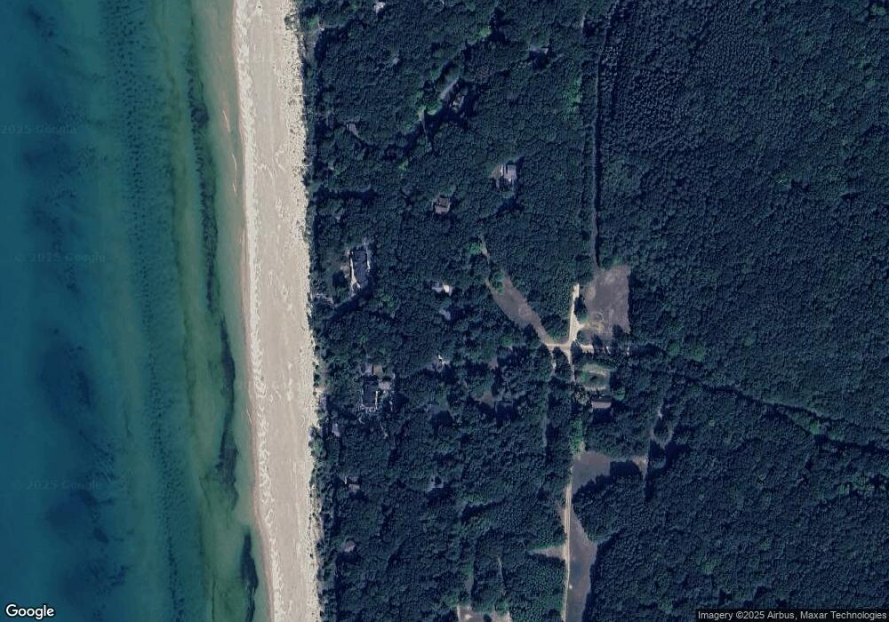
Map
Nearby Homes
- 0 Silver Lake Dr
- Lot G Hemlock Trail
- 10412 W Woodrow Rd
- 10445 W Woodrow Rd
- 0 Sable Point Dr Unit 286596
- Lot N Hemlock Trail
- Lot O Hemlock
- 62 N 14th Ave
- 539 N Lighthouse Dr
- 1935 S Glen Rd
- 2225 Apache Dr
- V/L W Woodrow Rd
- 658 Parasail Dr
- 2087 S Glen Rd
- 18 Acres 28th Ave
- Parcel G-1 28th Ave
- Parcel G-2 28th Ave
- Parcel F-2 28th Ave
- Parcel F-1 28th Ave
- VL 28th Shelby Rd
- 625 S Point Rd
- 589 S Point Rd
- 637 S Point Rd
- 652 S Point Rd
- 621 S Glen Rd
- 597 S Glen Rd
- 667 S Point Rd
- 567 S Point Rd
- 637 S Glen Rd
- 573 S Glen Rd
- 667 S Glen Rd
- 559 S Shady Glen Rd
- 103/113 S Stone Church
- 102/114 S Stone Church
- 104/112 S Stone Church
- 6 S Stone Church
- 325 S Stone Church
- 0 Silver Lake Dr
- 683 S Point Rd
- 544 S Point Rd