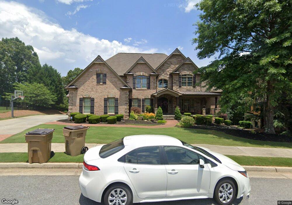
605 Shelter Cove Unit 4G Canton, GA 30114
Sutallee NeighborhoodEstimated Value: $1,362,000
6
Beds
7
Baths
7,144
Sq Ft
$191/Sq Ft
Est. Value
About This Home
This home is located at 605 Shelter Cove Unit 4G, Canton, GA 30114 and is currently estimated at $1,362,000, approximately $190 per square foot. 605 Shelter Cove Unit 4G is a home located in Cherokee County with nearby schools including Liberty Elementary School, Freedom Middle School, and Cherokee High School.
Ownership History
Date
Name
Owned For
Owner Type
Purchase Details
Closed on
Jul 14, 2006
Sold by
Buggay Larry D
Bought by
Watson Matthew and Watson Shari
Current Estimated Value
Home Financials for this Owner
Home Financials are based on the most recent Mortgage that was taken out on this home.
Original Mortgage
$644,000
Outstanding Balance
$381,271
Interest Rate
6.6%
Mortgage Type
New Conventional
Estimated Equity
$980,729
Purchase Details
Closed on
Nov 22, 2005
Sold by
Robert Williamson Homes Llc
Bought by
Buggay Larry D
Home Financials for this Owner
Home Financials are based on the most recent Mortgage that was taken out on this home.
Original Mortgage
$78,900
Interest Rate
5.66%
Mortgage Type
New Conventional
Create a Home Valuation Report for This Property
The Home Valuation Report is an in-depth analysis detailing your home's value as well as a comparison with similar homes in the area
Home Values in the Area
Average Home Value in this Area
Purchase History
| Date | Buyer | Sale Price | Title Company |
|---|---|---|---|
| Watson Matthew | $805,000 | -- | |
| Buggay Larry D | $789,900 | -- |
Source: Public Records
Mortgage History
| Date | Status | Borrower | Loan Amount |
|---|---|---|---|
| Open | Watson Matthew | $644,000 | |
| Previous Owner | Buggay Larry D | $78,900 | |
| Previous Owner | Buggay Larry D | $631,920 |
Source: Public Records
Tax History Compared to Growth
Tax History
| Year | Tax Paid | Tax Assessment Tax Assessment Total Assessment is a certain percentage of the fair market value that is determined by local assessors to be the total taxable value of land and additions on the property. | Land | Improvement |
|---|---|---|---|---|
| 2024 | $11,386 | $469,480 | $80,000 | $389,480 |
| 2023 | $10,872 | $465,760 | $80,000 | $385,760 |
| 2022 | $10,193 | $407,240 | $80,000 | $327,240 |
| 2021 | $9,055 | $322,200 | $40,000 | $282,200 |
| 2020 | $8,835 | $313,160 | $40,000 | $273,160 |
| 2019 | $8,521 | $302,080 | $40,000 | $262,080 |
| 2018 | $8,471 | $298,560 | $40,000 | $258,560 |
| 2017 | $8,502 | $743,400 | $40,000 | $257,360 |
| 2016 | $7,820 | $677,300 | $40,000 | $230,920 |
| 2015 | $8,326 | $713,700 | $40,000 | $245,480 |
| 2014 | $8,430 | $721,200 | $40,000 | $248,480 |
Source: Public Records
Map
Nearby Homes
- 510 Millwood Ct
- 4123 Gold Mill Ridge
- 131 Gold Springs Ct
- 192 Saxon Ct
- 339 Westbridge Ln
- 4983 Millwood Dr
- 312 Gold Mill Trail
- 328 Allatoona Shores Dr
- 305 Blake Dr Unit 1
- 3087 Woodbridge Ln Unit 3L
- 3085 Woodbridge Ln
- 805 Cardinal Point Unit 4L
- 431 Gold Crossing
- 1383 Bridge Mill Ave
- 113 Gold Bridge Crossing
- 202 Van Walk
- 603 Shelter Cove Unit 4G
- 0 Shelter Cove Unit 7052184
- 0 Shelter Cove Unit 8760449
- 0 Shelter Cove Unit 8655583
- 0 Shelter Cove Unit 8295651
- 0 Shelter Cove Unit 8741741
- 0 Shelter Cove
- 607 Shelter Cove
- 604 Shelter Cove Unit 4G
- 601 Shelter Cove
- 5212 Millwood Dr Unit 4G
- 609 Shelter Cove Unit 4G
- 608 Shelter Cove
- 507 Gold Shore Ln
- 501 Gold Shore Ln
- 5213 Millwood Dr Unit 4G
- 509 Gold Shore Ln
- 504 Gold Shore Ln
- 500 Gold Shore Ln
- 5211 Millwood Dr Unit 4G