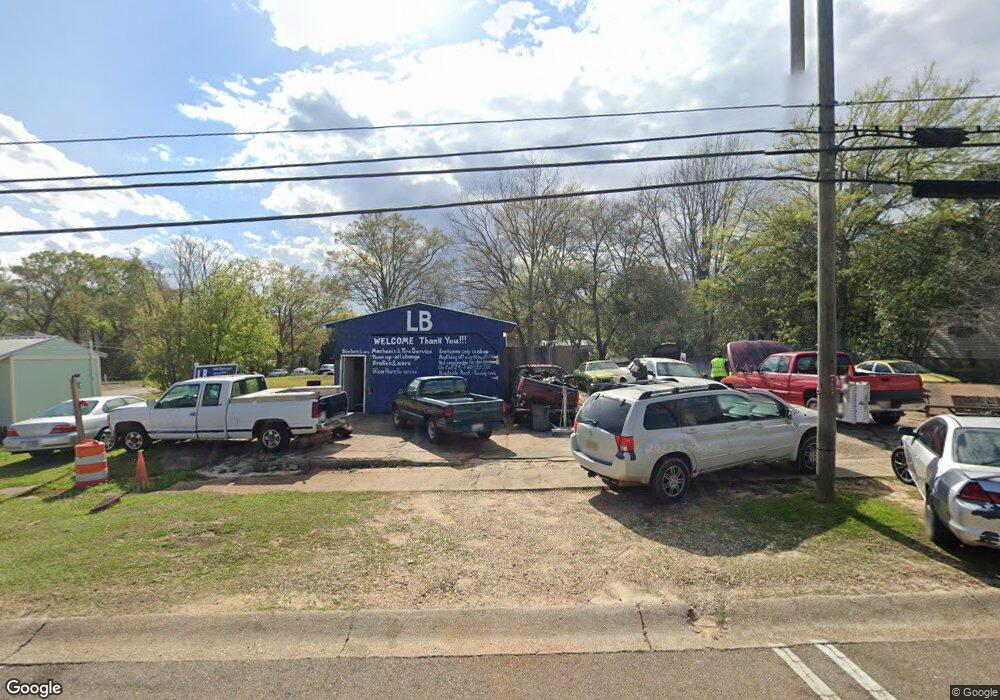
605 Summit St McComb, MS 39648
Estimated Value: $39,000 - $58,000
Studio
--
Bath
539
Sq Ft
$96/Sq Ft
Est. Value
About This Home
This home is located at 605 Summit St, McComb, MS 39648 and is currently estimated at $51,645, approximately $95 per square foot. 605 Summit St is a home with nearby schools including Higgins Middle School, Otken Elementary School, and Denman Junior High School.
Ownership History
Date
Name
Owned For
Owner Type
Purchase Details
Closed on
May 9, 2022
Sold by
Koran Blackman
Bought by
Barnes Devin
Current Estimated Value
Purchase Details
Closed on
Apr 20, 2021
Sold by
R & B Farms Llc
Bought by
Lewis George and Lewis Latonia
Purchase Details
Closed on
Feb 10, 2021
Sold by
Blackman Corey M
Bought by
Blackman Koran
Purchase Details
Closed on
May 27, 2020
Sold by
Blackman Corey M
Bought by
Lewis George and Lewis Latonia
Purchase Details
Closed on
May 13, 2013
Sold by
Camco Investments Llc
Bought by
Blackman Corey M
Purchase Details
Closed on
Dec 20, 2012
Sold by
Camco Investments Llc
Bought by
Blackman Corey M
Create a Home Valuation Report for This Property
The Home Valuation Report is an in-depth analysis detailing your home's value as well as a comparison with similar homes in the area
Purchase History
| Date | Buyer | Sale Price | Title Company |
|---|---|---|---|
| Barnes Devin | -- | None Listed On Document | |
| Lewis George | -- | None Available | |
| Blackman Koran | -- | None Available | |
| Lewis George | -- | None Available | |
| Blackman Corey M | -- | None Available | |
| Blackman Corey M | -- | None Available |
Source: Public Records
Tax History
| Year | Tax Paid | Tax Assessment Tax Assessment Total Assessment is a certain percentage of the fair market value that is determined by local assessors to be the total taxable value of land and additions on the property. | Land | Improvement |
|---|---|---|---|---|
| 2025 | $409 | $2,298 | $0 | $0 |
| 2024 | $340 | $1,905 | $0 | $0 |
| 2023 | $336 | $1,905 | $0 | $0 |
| 2022 | $215 | $1,238 | $0 | $0 |
| 2021 | $215 | $1,238 | $0 | $0 |
| 2020 | $116 | $668 | $0 | $0 |
| 2019 | $111 | $668 | $0 | $0 |
| 2018 | $108 | $668 | $0 | $0 |
| 2017 | $108 | $668 | $0 | $0 |
| 2016 | $108 | $668 | $0 | $0 |
| 2015 | -- | $668 | $0 | $0 |
| 2014 | -- | $668 | $0 | $0 |
| 2013 | -- | $668 | $0 | $0 |
Source: Public Records
Map
Nearby Homes
- 122 Denwiddie Ave
- 315 Kentucky Ave
- 136 W New York Ave
- 333 W Georgia Ave
- 1005 Summit St
- 415 N Magnolia St
- 800 Jackson Ave
- 134 A & B W New York Ave
- 400 Burke Ave
- 612 W New York Ave
- 310 Burke Ave
- 2062 &2063 Lazy Creek Rd
- 126 N Broadway St
- 635 Delaware Ave
- 804 North St
- 220 N James Ave
- 900 N James Ave
- 143 N Myrtle St
- 402 Laurel St
- 110 S 4th St
Your Personal Tour Guide
Ask me questions while you tour the home.