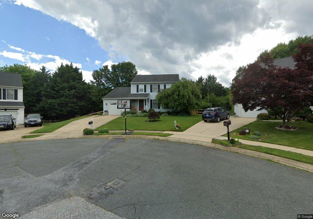
605 Swan Ct Havre de Grace, MD 21078
Estimated Value: $435,442 - $488,000
--
Bed
3
Baths
2,052
Sq Ft
$227/Sq Ft
Est. Value
About This Home
This home is located at 605 Swan Ct, Havre de Grace, MD 21078 and is currently estimated at $466,361, approximately $227 per square foot. 605 Swan Ct is a home located in Harford County with nearby schools including Meadowvale Elementary School, Havre de Grace Middle School, and Havre de Grace High School.
Ownership History
Date
Name
Owned For
Owner Type
Purchase Details
Closed on
Aug 12, 2005
Sold by
Dalal Stephen J
Bought by
Gregory Mc Roberts and Mc Roberts Jennifer L
Current Estimated Value
Purchase Details
Closed on
Nov 22, 2002
Sold by
Kevin Vickery
Bought by
Dalal Stephen J
Purchase Details
Closed on
Nov 28, 2001
Sold by
Goodwin John P
Bought by
Kevin Vickery
Purchase Details
Closed on
Jun 23, 1998
Sold by
Uphoff Eric W
Bought by
Goodwin John P and Shannon Kelley Ann
Create a Home Valuation Report for This Property
The Home Valuation Report is an in-depth analysis detailing your home's value as well as a comparison with similar homes in the area
Home Values in the Area
Average Home Value in this Area
Purchase History
| Date | Buyer | Sale Price | Title Company |
|---|---|---|---|
| Gregory Mc Roberts | $265,000 | -- | |
| Dalal Stephen J | $181,500 | -- | |
| Kevin Vickery | $156,000 | -- | |
| Goodwin John P | $143,900 | -- |
Source: Public Records
Mortgage History
| Date | Status | Borrower | Loan Amount |
|---|---|---|---|
| Closed | Goodwin John P | -- |
Source: Public Records
Tax History Compared to Growth
Tax History
| Year | Tax Paid | Tax Assessment Tax Assessment Total Assessment is a certain percentage of the fair market value that is determined by local assessors to be the total taxable value of land and additions on the property. | Land | Improvement |
|---|---|---|---|---|
| 2025 | $2,810 | $314,033 | $0 | $0 |
| 2024 | $2,810 | $294,800 | $90,400 | $204,400 |
| 2023 | $2,680 | $281,100 | $0 | $0 |
| 2022 | $2,549 | $267,400 | $0 | $0 |
| 2021 | $2,541 | $253,700 | $90,400 | $163,300 |
| 2020 | $2,541 | $252,700 | $0 | $0 |
| 2019 | $2,531 | $251,700 | $0 | $0 |
| 2018 | $2,499 | $250,700 | $94,100 | $156,600 |
| 2017 | $2,493 | $250,700 | $0 | $0 |
| 2016 | -- | $249,433 | $0 | $0 |
| 2015 | $2,544 | $248,800 | $0 | $0 |
| 2014 | $2,544 | $248,800 | $0 | $0 |
Source: Public Records
Map
Nearby Homes
- 400 Brant Ct
- 302 Goforth Dr
- 332 Pintail Dr
- 102 Tidewater Dr
- 101 Susquehanna Ct
- 1411 Chapel Rd
- 221 War Admiral Way
- 1514 Lyon St
- 202 Man o War Place
- Somerset II - Bulle Rock Plan at Bulle Rock - Single Family
- Franklin Plan at Bulle Rock - Single Family
- Hampton II Plan at Bulle Rock - Single Family
- Patton Plan at Bulle Rock - Single Family
- Augusta Plan at Bulle Rock - Single Family
- Alexander II Plan at Bulle Rock - Single Family
- Andrews Plan at Bulle Rock - Single Family
- 321 Friar Rock Cir
- 302 Friar Rock Cir
- 300 Friar Rock Cir
- 539 Whimsical Dr