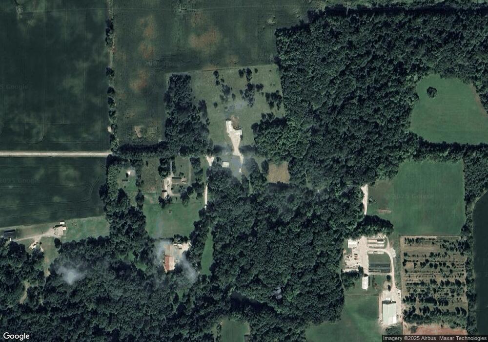
605 W 450 N Marion, IN 46952
Estimated Value: $145,989 - $192,000
3
Beds
1
Bath
1,080
Sq Ft
$154/Sq Ft
Est. Value
About This Home
This home is located at 605 W 450 N, Marion, IN 46952 and is currently estimated at $166,247, approximately $153 per square foot. 605 W 450 N is a home located in Grant County with nearby schools including Converse Elementary School, Sweetser Elementary School, and Oak Hill Junior High School.
Ownership History
Date
Name
Owned For
Owner Type
Purchase Details
Closed on
Nov 21, 2024
Sold by
Staggs John D and Staggs Dawn D
Bought by
Staggs Rental Properties Llc
Current Estimated Value
Purchase Details
Closed on
Oct 17, 2007
Sold by
Bank Of New York
Bought by
Staggs John D and Staggs Dawn D
Home Financials for this Owner
Home Financials are based on the most recent Mortgage that was taken out on this home.
Original Mortgage
$40,000
Interest Rate
6.38%
Mortgage Type
Purchase Money Mortgage
Purchase Details
Closed on
Aug 2, 2007
Sold by
Bradford Jay and Bradford Charity
Bought by
Bank Of New York
Purchase Details
Closed on
May 30, 2006
Sold by
Bradford Jay
Bought by
Bradford Jay and Bradford Chartiy
Home Financials for this Owner
Home Financials are based on the most recent Mortgage that was taken out on this home.
Original Mortgage
$30,000
Interest Rate
6.62%
Mortgage Type
Stand Alone Second
Create a Home Valuation Report for This Property
The Home Valuation Report is an in-depth analysis detailing your home's value as well as a comparison with similar homes in the area
Home Values in the Area
Average Home Value in this Area
Purchase History
| Date | Buyer | Sale Price | Title Company |
|---|---|---|---|
| Staggs Rental Properties Llc | -- | None Listed On Document | |
| Staggs John D | -- | None Available | |
| Bank Of New York | $62,460 | None Available | |
| Bradford Jay | -- | None Available |
Source: Public Records
Mortgage History
| Date | Status | Borrower | Loan Amount |
|---|---|---|---|
| Previous Owner | Staggs John D | $40,000 | |
| Previous Owner | Bradford Jay | $30,000 |
Source: Public Records
Tax History Compared to Growth
Tax History
| Year | Tax Paid | Tax Assessment Tax Assessment Total Assessment is a certain percentage of the fair market value that is determined by local assessors to be the total taxable value of land and additions on the property. | Land | Improvement |
|---|---|---|---|---|
| 2024 | $1,566 | $125,100 | $29,100 | $96,000 |
| 2023 | $1,435 | $107,300 | $29,100 | $78,200 |
| 2022 | $1,514 | $94,600 | $22,300 | $72,300 |
| 2021 | $1,374 | $84,700 | $22,300 | $62,400 |
| 2020 | $1,244 | $81,300 | $21,200 | $60,100 |
| 2019 | $1,155 | $78,400 | $21,200 | $57,200 |
| 2018 | $1,137 | $78,300 | $21,200 | $57,100 |
| 2017 | $1,076 | $78,800 | $21,200 | $57,600 |
| 2016 | $1,048 | $79,700 | $21,200 | $58,500 |
| 2014 | $979 | $78,900 | $21,500 | $57,400 |
| 2013 | $979 | $78,000 | $21,500 | $56,500 |
Source: Public Records
Map
Nearby Homes
- 4493 N Wabash Rd
- 1920 W Westholme Dr
- 3930 N Avalon Dr
- 3920 N Avalon Dr
- 4769 N Brooke Dr
- 1906 W James Dr
- 2214 N Wabash Rd
- 3816 N Huntington Rd
- 933 E Bocock Rd
- 3105 N Huntington Rd
- 1511 N Marlin Dr
- 1706 N Denver Dr
- 2325 N Huntington Rd
- 1614 Fox Trail Unit 1
- 1431 Fox Trail Unit 49
- 1515 N Wabash Ave
- 1516 N Wabash Ave
- 1615 Fox Trail Unit 16
- 1605 Fox Trail Unit 11
- 1425 Fox Trail Unit 46
- 687 W 450 N
- 453 W 450 N
- 701 W 450 N
- 577 W 450 N
- 4470 N Wabash Rd
- 4472 N Wabash Rd
- 4645 N Lagro Rd
- 4452 N Wabash Rd
- 4464 Cherson Place
- 4389 N E 00 W
- 4365 Cherson Place
- 4489 N Wabash Rd
- 969 W 500 N
- 569 W 500 N
- 4420 N Lila Ct
- 4321 Cherson Place
- 4269 Cherson Place
- 527 W 500 N
- 4421 N Lila Ct
- 4423 N Digby Ct