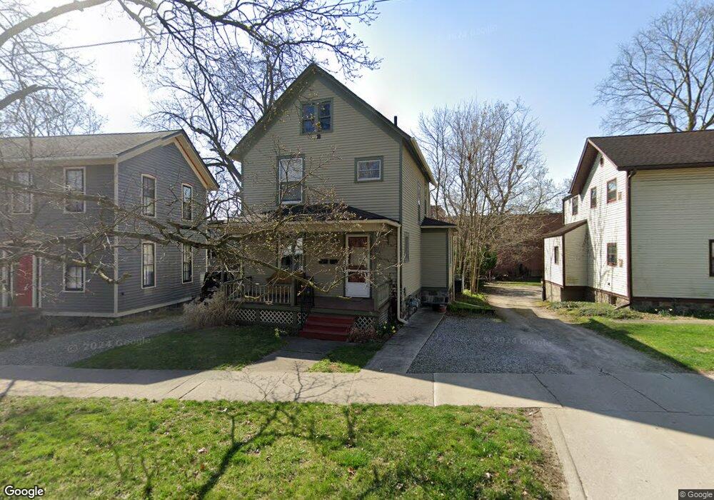
605 W Liberty St Ann Arbor, MI 48103
Old West Side NeighborhoodEstimated Value: $521,000 - $595,000
4
Beds
2
Baths
1,398
Sq Ft
$390/Sq Ft
Est. Value
About This Home
This home is located at 605 W Liberty St, Ann Arbor, MI 48103 and is currently estimated at $545,433, approximately $390 per square foot. 605 W Liberty St is a home located in Washtenaw County with nearby schools including Bach Elementary School, Slauson Middle School, and Pioneer High School.
Ownership History
Date
Name
Owned For
Owner Type
Purchase Details
Closed on
Apr 21, 2016
Sold by
Lewis David L and Lewis Florence Y
Bought by
Lewis Lance K
Current Estimated Value
Purchase Details
Closed on
Aug 16, 2005
Sold by
Lewis Florence Y and Lewis David L
Bought by
Lewis David L and Lewis Florence Y
Purchase Details
Closed on
Jun 12, 2002
Sold by
Miller Henry
Bought by
Lewis Florence Y
Purchase Details
Closed on
Aug 2, 1996
Sold by
Bolgos Garth M
Bought by
Henry Miller
Create a Home Valuation Report for This Property
The Home Valuation Report is an in-depth analysis detailing your home's value as well as a comparison with similar homes in the area
Home Values in the Area
Average Home Value in this Area
Purchase History
| Date | Buyer | Sale Price | Title Company |
|---|---|---|---|
| Lewis Lance K | -- | None Available | |
| Lewis David L | -- | -- | |
| Lewis Florence Y | $242,000 | -- | |
| Henry Miller | $123,000 | -- |
Source: Public Records
Tax History Compared to Growth
Tax History
| Year | Tax Paid | Tax Assessment Tax Assessment Total Assessment is a certain percentage of the fair market value that is determined by local assessors to be the total taxable value of land and additions on the property. | Land | Improvement |
|---|---|---|---|---|
| 2025 | $8,410 | $244,900 | $0 | $0 |
| 2024 | $7,010 | $228,800 | $0 | $0 |
| 2023 | $6,905 | $200,000 | $0 | $0 |
| 2022 | $7,882 | $187,500 | $0 | $0 |
| 2021 | $6,878 | $178,300 | $0 | $0 |
| 2020 | $6,739 | $167,900 | $0 | $0 |
| 2019 | $6,413 | $167,900 | $167,900 | $0 |
| 2018 | $6,323 | $161,600 | $0 | $0 |
| 2017 | $6,151 | $167,600 | $0 | $0 |
| 2016 | $5,239 | $122,998 | $0 | $0 |
| 2015 | $5,651 | $122,631 | $0 | $0 |
| 2014 | $5,651 | $123,462 | $0 | $0 |
| 2013 | -- | $123,462 | $0 | $0 |
Source: Public Records
Map
Nearby Homes
- 717 W Liberty St
- 285 Mulholland St Unit 3
- 404 W Liberty St
- 814 W Jefferson St
- 533 5th St
- 220 S 7th St
- 552 5th St
- 441 S Ashley St Unit 405
- 140 Ashley Mews Dr Unit 27
- 116 N 7th St
- 614 S 7th St
- 111 N Ashley St Unit 513
- 220 W Mosley St
- 212 Miller Ave Unit 102
- 212 Miller Ave Unit 203
- 212 Miller Ave Unit 302
- 212 Miller Ave Unit 101
- 212 Miller Ave Unit 201
- 212 Miller Ave Unit 301
- 212 Miller Ave Unit 103
- 603 W Liberty St
- 611 W Liberty St
- 610 W Liberty St
- 617 W Liberty St
- 528 W Liberty St
- 344 4th St
- 604 W Liberty St
- 612 W Liberty St
- 623 W Liberty St
- 523 W Liberty St
- 309 4th St
- 659 W Liberty St Unit Pointe Dr
- 311 4th St
- 317 5th St
- 618 W Liberty St
- 622 W Liberty St
- 245 Murray Ave
- 626 W Liberty St
- 515 W Liberty St
- 241 Murray Ave