605 W Monarch Cir Lakeside, AZ 85929
Estimated Value: $223,000 - $337,000
1
Bed
1
Bath
641
Sq Ft
$439/Sq Ft
Est. Value
About This Home
This home is located at 605 W Monarch Cir, Lakeside, AZ 85929 and is currently estimated at $281,366, approximately $438 per square foot. 605 W Monarch Cir is a home located in Navajo County with nearby schools including Blue Ridge Elementary School, Blue Ridge Middle School, and Blue Ridge Junior High School.
Ownership History
Date
Name
Owned For
Owner Type
Purchase Details
Closed on
Aug 28, 2024
Sold by
Visse Mark and Visse Gay
Bought by
Visse Mark and Visse Gay
Current Estimated Value
Purchase Details
Closed on
Aug 27, 2024
Sold by
Visse Mark and Visse Gay
Bought by
Visse Mark and Visse Gay
Purchase Details
Closed on
Apr 18, 2011
Sold by
Wells Fargo Bank Na
Bought by
Visse Mark and Visse Gay
Purchase Details
Closed on
Feb 15, 2011
Sold by
Demaso Alicia R and Demaso Stephen V
Bought by
Wells Fargo Bank National Association
Create a Home Valuation Report for This Property
The Home Valuation Report is an in-depth analysis detailing your home's value as well as a comparison with similar homes in the area
Home Values in the Area
Average Home Value in this Area
Purchase History
| Date | Buyer | Sale Price | Title Company |
|---|---|---|---|
| Visse Mark | -- | None Listed On Document | |
| Visse Mark | -- | None Listed On Document | |
| Visse Mark | -- | Servicelink | |
| Wells Fargo Bank National Association | $119,199 | None Available |
Source: Public Records
Tax History
| Year | Tax Paid | Tax Assessment Tax Assessment Total Assessment is a certain percentage of the fair market value that is determined by local assessors to be the total taxable value of land and additions on the property. | Land | Improvement |
|---|---|---|---|---|
| 2026 | $1,132 | -- | -- | -- |
| 2025 | $1,086 | $20,506 | $9,674 | $10,832 |
| 2024 | $987 | $20,430 | $9,674 | $10,756 |
| 2023 | $1,086 | $17,236 | $9,046 | $8,190 |
| 2022 | $987 | $0 | $0 | $0 |
| 2021 | $1,076 | $0 | $0 | $0 |
| 2020 | $1,049 | $0 | $0 | $0 |
| 2019 | $1,052 | $0 | $0 | $0 |
| 2018 | $1,040 | $0 | $0 | $0 |
| 2017 | $997 | $0 | $0 | $0 |
| 2016 | $880 | $0 | $0 | $0 |
| 2015 | $843 | $8,309 | $5,126 | $3,184 |
Source: Public Records
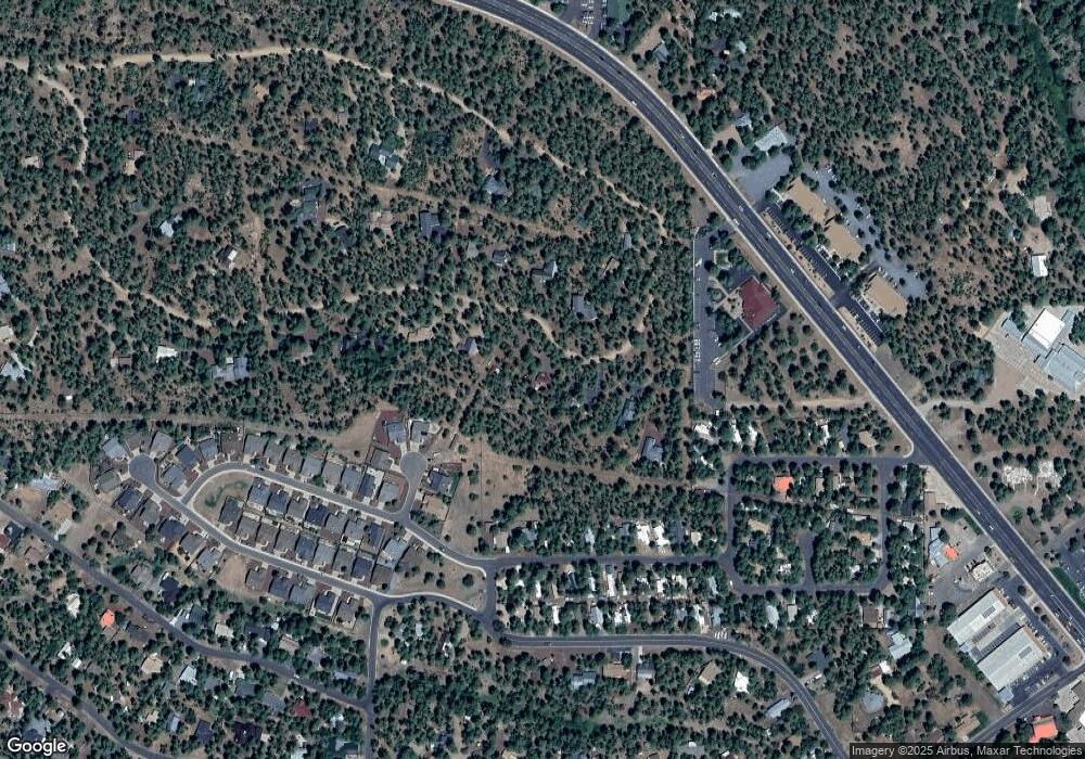
Map
Nearby Homes
- 770 W Yeager Ln
- 387 W Summer Haven Ln
- 825 W Yeager Ln
- 324 W Pine Oak Ln
- 351 W Yeager Ln
- 1111 W White Mountain Blvd
- 372 W White Mountain Blvd
- 1080 W Apache Ln
- 4878 Highway 260 Unit 4907 Wagon Trail
- 4878 Highway 260 Unit k
- 13 W White Mountain Blvd
- 1261 Big Springs Trail
- 537 W Billy Creek Dr
- 1030 Big Springs Trail
- 93 E White Mountain Blvd Unit 44
- 578 W Billy Creek Dr
- 571 W Pine Shadow Dr
- 4817 Unit 42
- 517 W Stardust Dr
- 300 E White Mountain Blvd
- 577 Monarch Cir
- 661 W Monarch Cir
- 549 Monarch Cir
- 669 Monarch Cir
- 362 N Mark Place
- 324 N Mark Place
- 342 N Mark Place
- 546 W Summer Haven Ln
- 324 N Mark Place
- 570 Monarch Cir
- 689 Monarch Cir
- 341 N Mark Place
- 738 W Monarch Cir
- 2104 W Summer Haven Ln
- 2096 W Summer Haven Ln
- 598 Monarch Cir
- 521 Monarch Cir
- 478 W Summer Haven Ln
- 466 W Summer Haven Ln
- 750 W Summer Haven Ln
Your Personal Tour Guide
Ask me questions while you tour the home.