605 W Pierce St Whitestown, IN 46075
Estimated Value: $412,000 - $736,617
2
Beds
3
Baths
3,780
Sq Ft
$148/Sq Ft
Est. Value
About This Home
This home is located at 605 W Pierce St, Whitestown, IN 46075 and is currently estimated at $559,404, approximately $147 per square foot. 605 W Pierce St is a home located in Boone County with nearby schools including Perry Worth Elementary School, Lebanon Middle School, and Lebanon Senior High School.
Ownership History
Date
Name
Owned For
Owner Type
Purchase Details
Closed on
Mar 7, 2007
Sold by
Broglln John H and Broglln Joyce
Bought by
Cunningham James R and Cunningham Joyce S
Current Estimated Value
Home Financials for this Owner
Home Financials are based on the most recent Mortgage that was taken out on this home.
Original Mortgage
$325,000
Outstanding Balance
$40,774
Interest Rate
6.27%
Mortgage Type
Credit Line Revolving
Estimated Equity
$518,630
Create a Home Valuation Report for This Property
The Home Valuation Report is an in-depth analysis detailing your home's value as well as a comparison with similar homes in the area
Home Values in the Area
Average Home Value in this Area
Purchase History
| Date | Buyer | Sale Price | Title Company |
|---|---|---|---|
| Cunningham James R | -- | -- |
Source: Public Records
Mortgage History
| Date | Status | Borrower | Loan Amount |
|---|---|---|---|
| Open | Cunningham James R | $325,000 |
Source: Public Records
Tax History Compared to Growth
Tax History
| Year | Tax Paid | Tax Assessment Tax Assessment Total Assessment is a certain percentage of the fair market value that is determined by local assessors to be the total taxable value of land and additions on the property. | Land | Improvement |
|---|---|---|---|---|
| 2024 | $6,419 | $537,100 | $37,300 | $499,800 |
| 2023 | $7,625 | $545,900 | $37,300 | $508,600 |
| 2022 | $7,972 | $584,800 | $37,300 | $547,500 |
| 2021 | $7,520 | $454,200 | $37,300 | $416,900 |
| 2020 | $7,227 | $438,300 | $37,300 | $401,000 |
| 2019 | $6,676 | $420,200 | $37,300 | $382,900 |
| 2018 | $6,294 | $433,000 | $68,800 | $364,200 |
| 2017 | $7,000 | $430,800 | $68,800 | $362,000 |
| 2016 | $6,767 | $403,500 | $68,800 | $334,700 |
| 2014 | $5,841 | $356,200 | $68,800 | $287,400 |
| 2013 | $5,820 | $356,200 | $68,800 | $287,400 |
Source: Public Records
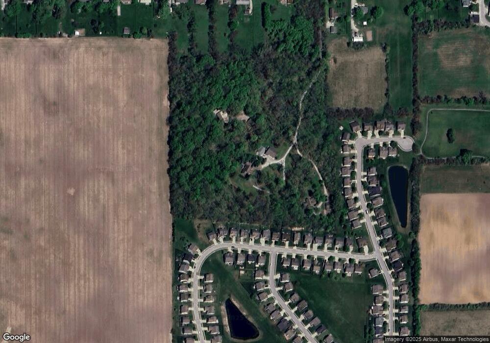
Map
Nearby Homes
- 6091 Green Willow Rd
- 3460 Limelight Ln
- 307 W Pierce St
- 207 S Buck St
- 6192 Cascades Dr
- 6162 Cascades Dr
- 6134 Cascades Dr
- 6084 Cascades Dr
- 6199 Rhinecliff Dr
- 2892 Maricopa Blvd
- 6175 Rhinecliff Dr
- 6163 Rhinecliff Dr
- Dawson Plan at Haven at Whitestown
- Hampton Plan at Haven at Whitestown
- Waveland Plan at Haven at Whitestown
- Buckner Plan at Haven at Whitestown
- Addison Plan at Haven at Whitestown
- Sheffield Plan at Haven at Whitestown
- Hendricks Plan at Haven at Whitestown
- Sutcliffe Plan at Haven at Whitestown
- 609 W Pierce St
- 3314 Paisley Pointe
- 3318 Paisley Pointe
- 3326 Paisley Pointe
- 6090 Green Willow Rd
- 6094 Green Willow Rd
- 6088 Green Willow Rd
- 3336 Paisley Pointe
- 6086 Green Willow Rd
- 6092 Green Willow Rd
- 3310 Paisley Pointe
- 6098 Green Willow Rd
- 6096 Green Willow Rd
- 3346 Paisley Pointe
- 6100 Green Willow Rd
- 6084 Green Willow Rd
- 6102 Green Willow Rd
- 3331 Paisley Pointe
- 6082 Green Willow Rd
- 3325 Paisley Pointe