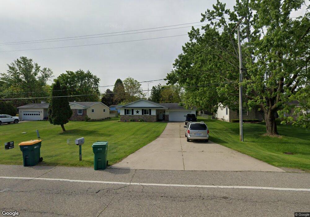
605 W Pierson Rd Flushing, MI 48433
Estimated Value: $190,675 - $221,000
--
Bed
1
Bath
1,208
Sq Ft
$171/Sq Ft
Est. Value
About This Home
This home is located at 605 W Pierson Rd, Flushing, MI 48433 and is currently estimated at $206,669, approximately $171 per square foot. 605 W Pierson Rd is a home located in Genesee County with nearby schools including Seymour Elementary School, Flushing Middle School, and Flushing High School.
Ownership History
Date
Name
Owned For
Owner Type
Purchase Details
Closed on
Jun 12, 2020
Sold by
Ayres Allan and Ayres Sandra
Bought by
Ayres Allan and Ayres Sandra
Current Estimated Value
Purchase Details
Closed on
Sep 10, 2009
Sold by
Kuchar Duane J and Kuchar Martha
Bought by
Ayres Allan and Ayres Sandra
Home Financials for this Owner
Home Financials are based on the most recent Mortgage that was taken out on this home.
Original Mortgage
$47,000
Outstanding Balance
$13,702
Interest Rate
5.27%
Mortgage Type
Future Advance Clause Open End Mortgage
Estimated Equity
$192,967
Purchase Details
Closed on
Apr 7, 2009
Sold by
Kuchar John A
Bought by
Kuchar John A and Kuchar Duane J
Create a Home Valuation Report for This Property
The Home Valuation Report is an in-depth analysis detailing your home's value as well as a comparison with similar homes in the area
Home Values in the Area
Average Home Value in this Area
Purchase History
| Date | Buyer | Sale Price | Title Company |
|---|---|---|---|
| Ayres Allan | -- | None Available | |
| Ayres Allan | $55,400 | None Available | |
| Kuchar John A | -- | None Available |
Source: Public Records
Mortgage History
| Date | Status | Borrower | Loan Amount |
|---|---|---|---|
| Open | Ayres Allan | $47,000 |
Source: Public Records
Tax History Compared to Growth
Tax History
| Year | Tax Paid | Tax Assessment Tax Assessment Total Assessment is a certain percentage of the fair market value that is determined by local assessors to be the total taxable value of land and additions on the property. | Land | Improvement |
|---|---|---|---|---|
| 2025 | $2,105 | $85,300 | $0 | $0 |
| 2024 | $1,727 | $78,300 | $0 | $0 |
| 2023 | $1,666 | $70,700 | $0 | $0 |
| 2022 | $1,826 | $64,200 | $0 | $0 |
| 2021 | $1,826 | $58,500 | $0 | $0 |
| 2020 | $1,467 | $55,800 | $0 | $0 |
| 2019 | $1,441 | $52,400 | $0 | $0 |
| 2018 | $1,681 | $47,900 | $0 | $0 |
| 2017 | $1,581 | $47,200 | $0 | $0 |
| 2016 | $1,569 | $33,399 | $0 | $0 |
| 2015 | $1,646 | $0 | $0 | $0 |
| 2012 | -- | $38,200 | $38,200 | $0 |
Source: Public Records
Map
Nearby Homes
- 219 Primrose Ln
- 3470 Longmeadow Dr
- 3462 Woodridge Dr
- 309 Arthur St
- 3372 Woodridge Dr
- 6289 W River Rd
- 308 N Seymour Rd
- 0 Winters Eave Dr Unit 50117986
- 538 Autumn Dr
- 0 E River Rd Unit 50180952
- 10167 W Pierson Rd
- 113 N Mckinley Rd
- 537 Sharon Dr
- 401 E Main St
- 410 E Main St
- 210 N Hazelton St
- 000 Potter Rd
- 422 Old Mill Dr
- 10101 Carpenter Rd
- 120 Boman St
- 601 W Pierson Rd
- 613 W Pierson Rd
- 617 W Pierson Rd
- 309 Primrose Ln
- 308 Windy Bluff
- 232 Brookside Dr
- 599 W Pierson Rd
- 313 Primrose Ln
- 316 Windy Bluff
- 312 Windy Bluff
- 233 Primrose Ln
- 309 Windy Bluff
- 313 Windy Bluff
- 701 W Pierson Rd
- 317 Primrose Ln
- 591 W Pierson Rd
- 228 Brookside Dr
- 320 Windy Bluff
- 229 Primrose Ln
- 317 Windy Bluff