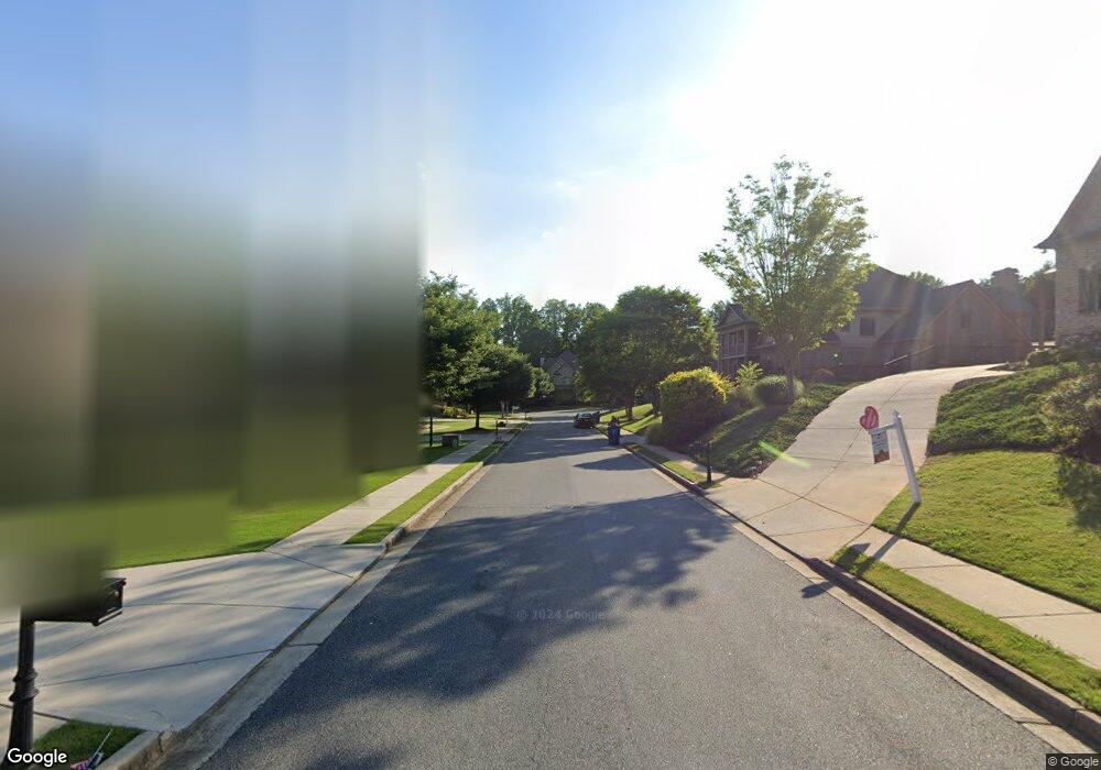
6050 Audobon Trace Cumming, GA 30040
Estimated Value: $781,990 - $873,000
4
Beds
4
Baths
3,900
Sq Ft
$213/Sq Ft
Est. Value
About This Home
This home is located at 6050 Audobon Trace, Cumming, GA 30040 and is currently estimated at $832,248, approximately $213 per square foot. 6050 Audobon Trace is a home located in Forsyth County with nearby schools including Matt Elementary School, Liberty Middle School, and North Forsyth High School.
Ownership History
Date
Name
Owned For
Owner Type
Purchase Details
Closed on
Nov 14, 2002
Sold by
Peachtree Residential Props Inc
Bought by
Norton Daniel W and Norton Aminta J
Current Estimated Value
Home Financials for this Owner
Home Financials are based on the most recent Mortgage that was taken out on this home.
Original Mortgage
$300,700
Outstanding Balance
$125,301
Interest Rate
5.95%
Mortgage Type
New Conventional
Estimated Equity
$706,947
Purchase Details
Closed on
Apr 15, 2002
Sold by
Pathway Forsyth I
Bought by
Peachtree Residential Prop Inc
Home Financials for this Owner
Home Financials are based on the most recent Mortgage that was taken out on this home.
Original Mortgage
$262,500
Interest Rate
7.07%
Mortgage Type
New Conventional
Create a Home Valuation Report for This Property
The Home Valuation Report is an in-depth analysis detailing your home's value as well as a comparison with similar homes in the area
Home Values in the Area
Average Home Value in this Area
Purchase History
| Date | Buyer | Sale Price | Title Company |
|---|---|---|---|
| Norton Daniel W | $377,100 | -- | |
| Peachtree Residential Prop Inc | $64,500 | -- |
Source: Public Records
Mortgage History
| Date | Status | Borrower | Loan Amount |
|---|---|---|---|
| Open | Norton Daniel W | $300,700 | |
| Previous Owner | Peachtree Residential Prop Inc | $262,500 |
Source: Public Records
Tax History Compared to Growth
Tax History
| Year | Tax Paid | Tax Assessment Tax Assessment Total Assessment is a certain percentage of the fair market value that is determined by local assessors to be the total taxable value of land and additions on the property. | Land | Improvement |
|---|---|---|---|---|
| 2025 | $6,234 | $298,260 | $40,000 | $258,260 |
| 2024 | $6,234 | $297,872 | $40,000 | $257,872 |
| 2023 | $5,539 | $277,036 | $30,000 | $247,036 |
| 2022 | $5,689 | $185,016 | $24,000 | $161,016 |
| 2021 | $4,867 | $185,016 | $24,000 | $161,016 |
| 2020 | $4,685 | $176,208 | $24,000 | $152,208 |
| 2019 | $4,626 | $172,996 | $22,000 | $150,996 |
| 2018 | $4,474 | $165,464 | $22,000 | $143,464 |
| 2017 | $4,412 | $162,116 | $22,000 | $140,116 |
| 2016 | $4,412 | $162,116 | $22,000 | $140,116 |
| 2015 | $4,420 | $162,116 | $22,000 | $140,116 |
| 2014 | -- | $150,108 | $22,000 | $128,108 |
Source: Public Records
Map
Nearby Homes
- 6040 Audobon Trace
- 6055 Audobon Trace
- 0 Audobon Trace Unit 7017215
- 0 Audobon Trace
- 6045 Audobon Trace
- 6030 Audobon Trace Unit 27
- 6030 Audobon Trace
- 6035 Audobon Trace
- 6005 Broadwater Trail
- 6107 Beechwood Trace
- 5995 Broadwater Trail
- 6109 Beechwood Trace
- 6365 Tamarack Trail
- 6020 Audobon Trace
- 6375 Tamarack Trail
- 6103 Beechwood Trace
- 5909 Boxwood Meadow
- 6015 Audobon Trace
- 5911 Boxwood Meadow
- 5985 Broadwater Trail