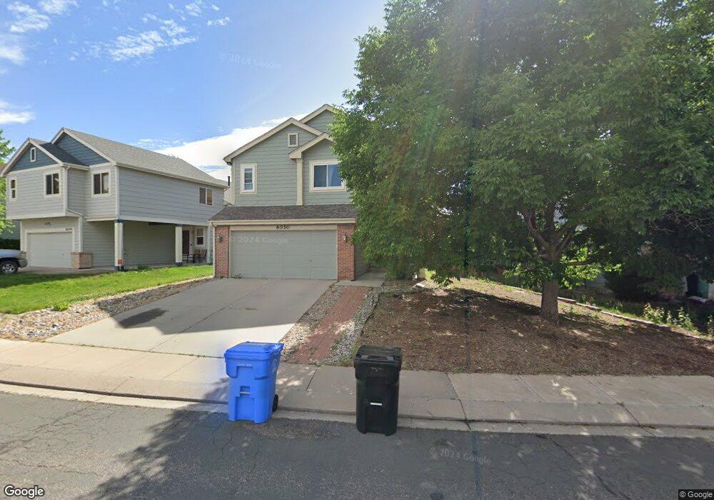
6050 Desoto Dr Colorado Springs, CO 80922
Stetson Hills NeighborhoodEstimated Value: $459,000 - $474,000
3
Beds
3
Baths
1,858
Sq Ft
$252/Sq Ft
Est. Value
About This Home
This home is located at 6050 Desoto Dr, Colorado Springs, CO 80922 and is currently estimated at $467,598, approximately $251 per square foot. 6050 Desoto Dr is a home located in El Paso County with nearby schools including Odyssey Elementary School, Skyview Middle School, and Vista Ridge High School.
Ownership History
Date
Name
Owned For
Owner Type
Purchase Details
Closed on
Nov 16, 2020
Sold by
Trousdale Kenneth J and Trousdale Cheryl
Bought by
Mijares Nichoins and Mijares Mackenzie
Current Estimated Value
Home Financials for this Owner
Home Financials are based on the most recent Mortgage that was taken out on this home.
Original Mortgage
$300,000
Outstanding Balance
$266,957
Interest Rate
2.8%
Mortgage Type
New Conventional
Estimated Equity
$200,641
Purchase Details
Closed on
Aug 28, 1996
Sold by
Hamm Stephen P and Hamm Allison D
Bought by
Trousdale Kenneth J and Trousdale Cheryl
Purchase Details
Closed on
Aug 31, 1994
Sold by
Us Home Corp
Bought by
Trousdale Kenneth J and Trousdale Cheryl B
Home Financials for this Owner
Home Financials are based on the most recent Mortgage that was taken out on this home.
Original Mortgage
$115,974
Interest Rate
7.25%
Mortgage Type
VA
Create a Home Valuation Report for This Property
The Home Valuation Report is an in-depth analysis detailing your home's value as well as a comparison with similar homes in the area
Home Values in the Area
Average Home Value in this Area
Purchase History
| Date | Buyer | Sale Price | Title Company |
|---|---|---|---|
| Mijares Nichoins | $375,000 | Legacy Title Agency | |
| Trousdale Kenneth J | -- | -- | |
| Trousdale Kenneth J | $113,705 | -- |
Source: Public Records
Mortgage History
| Date | Status | Borrower | Loan Amount |
|---|---|---|---|
| Open | Mijares Nichoins | $300,000 | |
| Previous Owner | Trousdale Kenneth J | $115,974 |
Source: Public Records
Tax History Compared to Growth
Tax History
| Year | Tax Paid | Tax Assessment Tax Assessment Total Assessment is a certain percentage of the fair market value that is determined by local assessors to be the total taxable value of land and additions on the property. | Land | Improvement |
|---|---|---|---|---|
| 2025 | $1,730 | $31,230 | -- | -- |
| 2024 | $1,631 | $31,180 | $4,620 | $26,560 |
| 2023 | $1,631 | $31,180 | $4,620 | $26,560 |
| 2022 | $1,350 | $21,720 | $4,170 | $17,550 |
| 2021 | $1,406 | $22,350 | $4,290 | $18,060 |
| 2020 | $1,245 | $19,560 | $3,580 | $15,980 |
| 2019 | $1,232 | $19,560 | $3,580 | $15,980 |
| 2018 | $1,040 | $16,200 | $3,020 | $13,180 |
| 2017 | $1,045 | $16,200 | $3,020 | $13,180 |
| 2016 | $1,062 | $16,240 | $2,950 | $13,290 |
| 2015 | $1,063 | $16,240 | $2,950 | $13,290 |
| 2014 | $986 | $14,790 | $2,790 | $12,000 |
Source: Public Records
Map
Nearby Homes
- 5234 Ferrari Dr
- 6030 Hearth Ct
- 5312 Ferrari Dr
- 5935 Faxon Ct
- 6170 Katy Ct
- 6185 Hearth Ct
- 6315 Basalt Ct
- 6350 Naturita Trail
- 6125 Lowlander Ct
- 6180 Kettle Ct
- 5053 Blackcloud Loop
- 6330 Emma Ln
- 6145 Plowshare Ct
- 5618 Tomiche Dr
- 4690 Badlands Ct
- 5315 War Paint Place
- 5209 Palomino Ranch Point
- 6819 Barela Ct
- 5465 War Paint Place
- 5057 Sweetgrass Ln