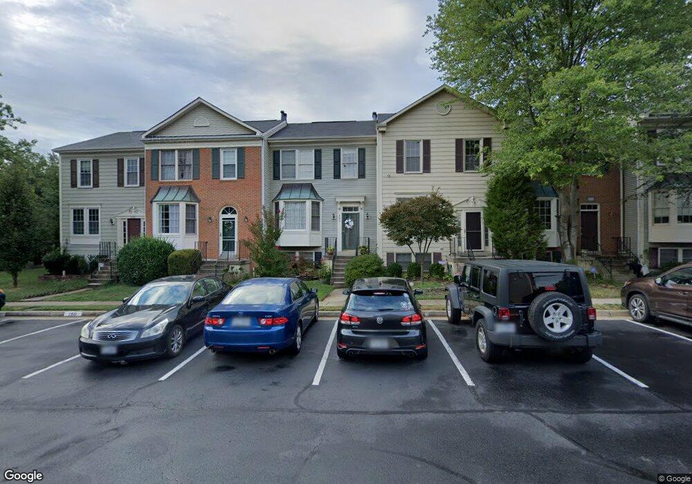
6050 Joust Ln Alexandria, VA 22315
Estimated Value: $596,905 - $631,000
3
Beds
4
Baths
1,232
Sq Ft
$499/Sq Ft
Est. Value
About This Home
This home is located at 6050 Joust Ln, Alexandria, VA 22315 and is currently estimated at $614,226, approximately $498 per square foot. 6050 Joust Ln is a home located in Fairfax County with nearby schools including Lane Elementary School, Hayfield Secondary School, and Calvary Road Christian School & Preschool.
Ownership History
Date
Name
Owned For
Owner Type
Purchase Details
Closed on
Jan 7, 2005
Sold by
Hulse Timothy S
Bought by
James Mae Linda
Current Estimated Value
Home Financials for this Owner
Home Financials are based on the most recent Mortgage that was taken out on this home.
Original Mortgage
$228,000
Outstanding Balance
$115,114
Interest Rate
5.75%
Mortgage Type
New Conventional
Estimated Equity
$499,112
Create a Home Valuation Report for This Property
The Home Valuation Report is an in-depth analysis detailing your home's value as well as a comparison with similar homes in the area
Home Values in the Area
Average Home Value in this Area
Purchase History
| Date | Buyer | Sale Price | Title Company |
|---|---|---|---|
| James Mae Linda | $285,000 | -- |
Source: Public Records
Mortgage History
| Date | Status | Borrower | Loan Amount |
|---|---|---|---|
| Open | James Mae Linda | $228,000 |
Source: Public Records
Tax History Compared to Growth
Tax History
| Year | Tax Paid | Tax Assessment Tax Assessment Total Assessment is a certain percentage of the fair market value that is determined by local assessors to be the total taxable value of land and additions on the property. | Land | Improvement |
|---|---|---|---|---|
| 2025 | $6,542 | $613,220 | $200,000 | $413,220 |
| 2024 | $6,542 | $564,670 | $185,000 | $379,670 |
| 2023 | $6,166 | $546,380 | $175,000 | $371,380 |
| 2022 | $5,886 | $514,710 | $160,000 | $354,710 |
| 2021 | $5,706 | $486,240 | $140,000 | $346,240 |
| 2020 | $5,458 | $461,210 | $130,000 | $331,210 |
| 2019 | $5,077 | $428,950 | $121,000 | $307,950 |
| 2018 | $4,707 | $409,290 | $116,000 | $293,290 |
| 2017 | $4,586 | $395,010 | $113,000 | $282,010 |
| 2016 | $4,576 | $395,010 | $113,000 | $282,010 |
| 2015 | $4,408 | $395,010 | $113,000 | $282,010 |
| 2014 | $4,398 | $395,010 | $113,000 | $282,010 |
Source: Public Records
Map
Nearby Homes
- 7000 Gatton Square
- 7013 Birkenhead Place Unit F
- 7001 Birkenhead Place Unit C
- 6964 Ellingham Cir Unit D
- 6925 Mary Caroline Cir Unit H
- 6921 Mary Caroline Cir Unit D
- 6052A Essex House Square Unit 6052A
- 7212 Lensfield Ct
- 6974 Cromarty Dr
- 7228 Lensfield Ct
- 6825 Signature Cir
- 6022B Curtier Dr Unit B
- 6822 Ericka Ave
- 5835 Norham Dr
- 6800 Brindle Heath Way Unit 261
- 6193 Manchester Park Cir
- 5321 Buxton Ct
- 7235 Worsley Way
- 5905 Saint Giles Way
- 5302 Ridley Ct
- 6048 Joust Ln
- 6052 Joust Ln
- 6046 Joust Ln
- 6046 Joust Ln Unit ROOM/BASEMENT
- 6054 Joust Ln
- 6044 Joust Ln
- 6042 Joust Ln
- 6056 Joust Ln
- 6040 Joust Ln
- 6039 Joust Ln
- 6058 Joust Ln
- 6037 Joust Ln
- 7048 Gatton Square
- 7046 Gatton Square
- 7050 Gatton Square
- 6060 Joust Ln
- 7044 Gatton Square
- 7052 Gatton Square
- 6035 Joust Ln
- 7042 Gatton Square