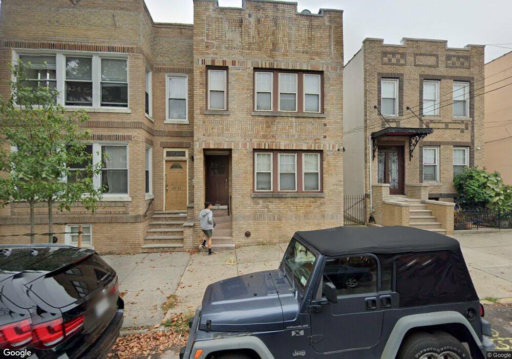
6050 Linden St Ridgewood, NY 11385
Ridgewood NeighborhoodEstimated Value: $841,746 - $1,226,000
--
Bed
--
Bath
1,736
Sq Ft
$609/Sq Ft
Est. Value
About This Home
This home is located at 6050 Linden St, Ridgewood, NY 11385 and is currently estimated at $1,056,687, approximately $608 per square foot. 6050 Linden St is a home located in Queens County with nearby schools including P.S. 71 Forest, I.S. 093 Ridgewood, and Grover Cleveland High School.
Ownership History
Date
Name
Owned For
Owner Type
Purchase Details
Closed on
Oct 6, 2006
Sold by
Harrison Helen Theresa
Bought by
Lin Cathy Y
Current Estimated Value
Home Financials for this Owner
Home Financials are based on the most recent Mortgage that was taken out on this home.
Original Mortgage
$300,000
Outstanding Balance
$179,214
Interest Rate
6.48%
Mortgage Type
Purchase Money Mortgage
Estimated Equity
$877,473
Create a Home Valuation Report for This Property
The Home Valuation Report is an in-depth analysis detailing your home's value as well as a comparison with similar homes in the area
Home Values in the Area
Average Home Value in this Area
Purchase History
| Date | Buyer | Sale Price | Title Company |
|---|---|---|---|
| Lin Cathy Y | $630,000 | -- |
Source: Public Records
Mortgage History
| Date | Status | Borrower | Loan Amount |
|---|---|---|---|
| Open | Lin Cathy Y | $300,000 |
Source: Public Records
Tax History Compared to Growth
Tax History
| Year | Tax Paid | Tax Assessment Tax Assessment Total Assessment is a certain percentage of the fair market value that is determined by local assessors to be the total taxable value of land and additions on the property. | Land | Improvement |
|---|---|---|---|---|
| 2025 | $7,796 | $41,145 | $9,335 | $31,810 |
| 2024 | $7,796 | $38,816 | $8,816 | $30,000 |
| 2023 | $7,796 | $38,816 | $8,534 | $30,282 |
| 2022 | $7,299 | $53,040 | $12,360 | $40,680 |
| 2021 | $7,648 | $43,980 | $12,360 | $31,620 |
| 2020 | $7,258 | $48,360 | $12,360 | $36,000 |
| 2019 | $6,767 | $52,620 | $12,360 | $40,260 |
| 2018 | $6,594 | $32,347 | $8,826 | $23,521 |
| 2017 | $6,544 | $32,102 | $9,598 | $22,504 |
| 2016 | $6,054 | $32,102 | $9,598 | $22,504 |
| 2015 | $3,653 | $28,573 | $9,285 | $19,288 |
| 2014 | $3,653 | $26,956 | $10,257 | $16,699 |
Source: Public Records
Map
Nearby Homes
- 6334 Fresh Pond Rd Unit 4G
- 6334 Fresh Pond Rd Unit 2G
- 63-34 Fresh Pond Rd Unit 3G
- 61-85 Grove St
- 6185 Grove St
- 61-25 Menahan St
- 60-14 Menahan St
- 60-12 Menahan St
- 6157 Linden St
- 5929 Linden St
- 5932 Grove St
- 5945 Madison St
- 6119 Madison St
- 61-19 Madison St
- 6018 Bleecker St
- 5938 Madison St
- 6046 Putnam Ave
- 60-46 Putnam Ave
- 65-26 Admiral Ave
- 66-42 Forest Ave
- 6052 Linden St
- 6048 Linden St
- 6054 Linden St
- 6046 Linden St
- 60-54 Linden St Unit 1
- 60-54 Linden St Unit 2R
- 6044 Linden St
- 6058 Linden St
- 60-44 Linden St Unit 2
- 60-44 Linden St
- 6040 Linden St
- 6060 Linden St
- 6047 Gates Ave
- 6049 Gates Ave
- 6043 Gates Ave
- 6051 Gates Ave
- 6041 Gates Ave
- 6038 Linden St
- 6062 Linden St
- 6053 Gates Ave