60502 Snap Shot Loop Bend, OR 97702
Seventh Mountain NeighborhoodEstimated Value: $935,257 - $1,269,000
3
Beds
3
Baths
2,258
Sq Ft
$478/Sq Ft
Est. Value
About This Home
This home is located at 60502 Snap Shot Loop, Bend, OR 97702 and is currently estimated at $1,078,314, approximately $477 per square foot. 60502 Snap Shot Loop is a home located in Deschutes County with nearby schools including William E. Miller Elementary School, Cascade Middle School, and Summit High School.
Ownership History
Date
Name
Owned For
Owner Type
Purchase Details
Closed on
Nov 6, 2009
Sold by
Points West Llc
Bought by
Ransom Robert C and Ransom Gayle J
Current Estimated Value
Home Financials for this Owner
Home Financials are based on the most recent Mortgage that was taken out on this home.
Original Mortgage
$303,072
Outstanding Balance
$195,361
Interest Rate
4.83%
Mortgage Type
New Conventional
Estimated Equity
$882,953
Create a Home Valuation Report for This Property
The Home Valuation Report is an in-depth analysis detailing your home's value as well as a comparison with similar homes in the area
Home Values in the Area
Average Home Value in this Area
Purchase History
| Date | Buyer | Sale Price | Title Company |
|---|---|---|---|
| Ransom Robert C | $404,966 | Amerititle | |
| Points West Llc | -- | Amerititle |
Source: Public Records
Mortgage History
| Date | Status | Borrower | Loan Amount |
|---|---|---|---|
| Open | Ransom Robert C | $303,072 |
Source: Public Records
Tax History
| Year | Tax Paid | Tax Assessment Tax Assessment Total Assessment is a certain percentage of the fair market value that is determined by local assessors to be the total taxable value of land and additions on the property. | Land | Improvement |
|---|---|---|---|---|
| 2025 | $6,650 | $443,960 | -- | -- |
| 2024 | $6,363 | $431,030 | -- | -- |
| 2023 | $5,987 | $418,480 | $0 | $0 |
| 2022 | $5,521 | $394,470 | $0 | $0 |
| 2021 | $5,555 | $382,990 | $0 | $0 |
| 2020 | $5,245 | $382,990 | $0 | $0 |
| 2019 | $5,163 | $371,840 | $0 | $0 |
| 2018 | $5,014 | $361,010 | $0 | $0 |
| 2017 | $4,884 | $350,500 | $0 | $0 |
| 2016 | $4,643 | $340,300 | $0 | $0 |
| 2015 | $4,515 | $330,390 | $0 | $0 |
| 2014 | $4,372 | $320,770 | $0 | $0 |
Source: Public Records
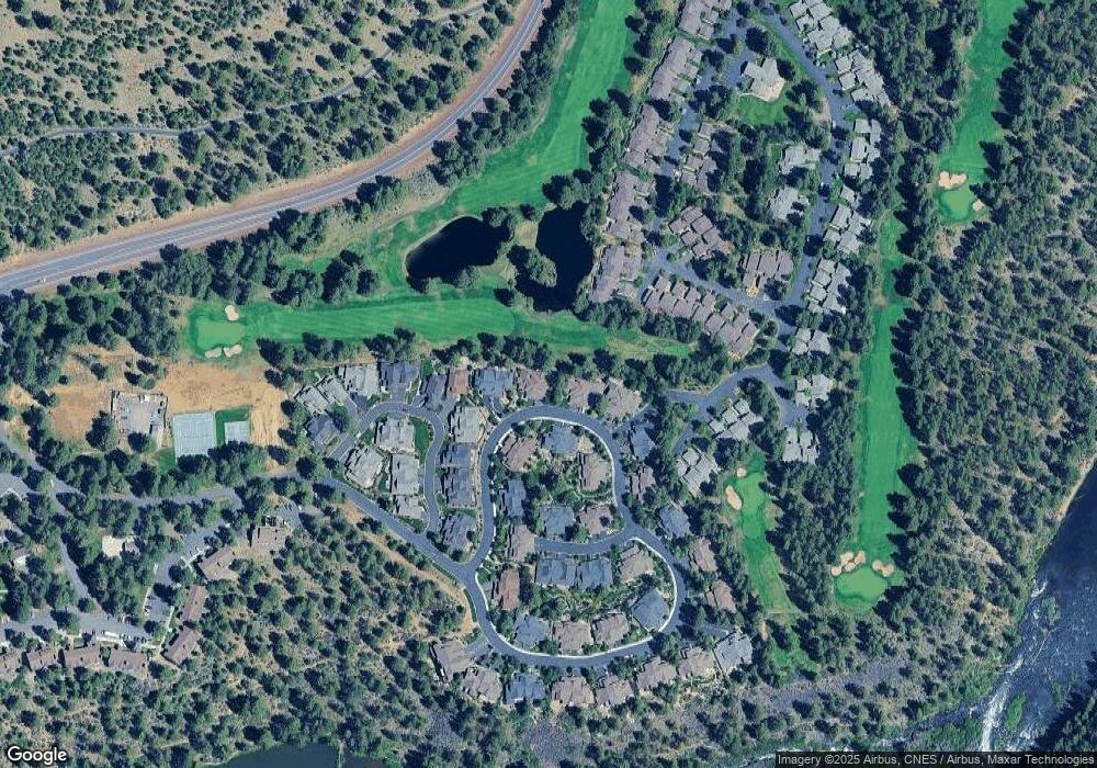
Map
Nearby Homes
- 18667 Coffee Ct
- 60486 Seventh Mountain Dr
- 18575 SW Century Dr Unit 1723/1724
- 18575 SW Century Dr Unit 1721
- 18575 SW Century Dr Unit 1913/1914
- 18575 SW Century Dr Unit 1325, 1326
- 18575 SW Century Dr Unit 2135
- 18575 SW Century Dr Unit 823 aka 435
- 18575 SW Century Dr Unit 1023
- 18575 SW Century Dr Unit 1937/38
- 18575 SW Century Dr Unit 812
- 18575 SW Century Dr Unit 1135 F
- 18575 SW Century Dr Unit 410
- 18575 SW Century Dr Unit 1537A (AKA 682)
- 18575 SW Century Dr Unit 1635
- 18575 SW Century Dr Unit 1233/1234
- 18575 SW Century Dr Unit 2123/2124
- 18575 SW Century Dr Unit 1537B / 682
- 18575 SW Century Dr Unit 636 aka 835
- 18575 SW Century Dr Unit 1711
- 60504 Snap Shot Loop
- 60498 Snap Shot Loop
- 60496 Snap Shot Loop
- 60508 Snap Shot Loop
- 60499 Snap Shot Loop
- 60497 Snap Shot Loop
- 60509 Snap Shot Loop
- 60509 Snap Shot Loop Unit 43
- 60492 Snap Shot Loop
- 60510 Snap Shot Loop
- 60436 Kangaroo Loop
- 60490 Snap Shot Loop
- 60511 Snap Shot Loop
- 60483 Snap Shot Loop
- 60442 Kangaroo Loop
- 60430 Kangaroo Loop
- 60473 Seventh Mountain Dr
- 60486 Snap Shot Loop
- 60481 Snap Shot Loop
- 60515 Snap Shot Loop Unit 46
Your Personal Tour Guide
Ask me questions while you tour the home.