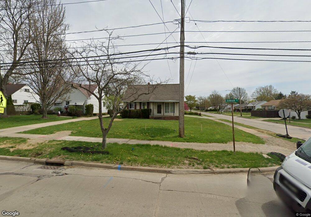
6051 Dunham Rd Maple Heights, OH 44137
Estimated Value: $124,000 - $195,000
3
Beds
1
Bath
2,024
Sq Ft
$75/Sq Ft
Est. Value
About This Home
This home is located at 6051 Dunham Rd, Maple Heights, OH 44137 and is currently estimated at $151,231, approximately $74 per square foot. 6051 Dunham Rd is a home located in Cuyahoga County with nearby schools including Abraham Lincoln Elementary School, Rockside/ J.F. Kennedy School, and Barack Obama School.
Ownership History
Date
Name
Owned For
Owner Type
Purchase Details
Closed on
Jun 25, 2018
Sold by
Demagall William S and Rauckhorst Terry
Bought by
Grundy Wayne F
Current Estimated Value
Home Financials for this Owner
Home Financials are based on the most recent Mortgage that was taken out on this home.
Original Mortgage
$40,000
Interest Rate
4.5%
Mortgage Type
New Conventional
Purchase Details
Closed on
Dec 12, 1978
Sold by
Rauckhorst John D and Rauckhorst Mary A
Bought by
Mary Rauckhorst
Purchase Details
Closed on
Jan 1, 1975
Bought by
Rauckhorst John D and Rauckhorst Mary A
Create a Home Valuation Report for This Property
The Home Valuation Report is an in-depth analysis detailing your home's value as well as a comparison with similar homes in the area
Home Values in the Area
Average Home Value in this Area
Purchase History
| Date | Buyer | Sale Price | Title Company |
|---|---|---|---|
| Grundy Wayne F | $50,100 | First Meridian Title | |
| Mary Rauckhorst | -- | -- | |
| Rauckhorst John D | -- | -- |
Source: Public Records
Mortgage History
| Date | Status | Borrower | Loan Amount |
|---|---|---|---|
| Previous Owner | Grundy Wayne F | $40,000 |
Source: Public Records
Tax History Compared to Growth
Tax History
| Year | Tax Paid | Tax Assessment Tax Assessment Total Assessment is a certain percentage of the fair market value that is determined by local assessors to be the total taxable value of land and additions on the property. | Land | Improvement |
|---|---|---|---|---|
| 2024 | $3,998 | $43,750 | $8,155 | $35,595 |
| 2023 | $2,672 | $24,440 | $6,200 | $18,240 |
| 2022 | $2,662 | $24,430 | $6,195 | $18,235 |
| 2021 | $2,840 | $24,430 | $6,200 | $18,240 |
| 2020 | $2,591 | $20,020 | $5,080 | $14,950 |
| 2019 | $2,577 | $57,200 | $14,500 | $42,700 |
| 2018 | $2,564 | $20,020 | $5,080 | $14,950 |
| 2017 | $2,519 | $19,180 | $4,480 | $14,700 |
| 2016 | $2,435 | $19,180 | $4,480 | $14,700 |
| 2015 | $2,316 | $19,180 | $4,480 | $14,700 |
| 2014 | $2,316 | $19,780 | $4,620 | $15,160 |
Source: Public Records
Map
Nearby Homes
- 6089 Dunham Rd
- 14951 Carol Dr
- 14775 Lisa Dr
- 15405 Turney Rd
- 15709 Steinway Blvd
- 15701 Walvern Blvd
- 14808 James Ave
- 15817 Steinway Blvd
- 15717 Shirley Ave
- 16002 Turney Rd
- SL15 Rocky Top Ct
- 15617 Rockside Rd
- 15 Rockytop Ct
- 15803 Maplewood Ave
- 6318 Valley Ranch Dr
- 6363 Valley Ranch Dr
- 14708 Brunswick Ave
- 15800 Northwood Ave
- 13741 Grove Dr
- 6378 Valley Ranch Dr
- 6045 Dunham Rd
- 15215 Steinway Blvd
- 6065 Dunham Rd
- 6041 Dunham Rd
- 15219 Steinway Blvd
- 6075 Dunham Rd
- 15214 Steinway Blvd
- 6021 Dunham Rd
- 15301 Steinway Blvd
- 6028 Dunham Rd
- 15218 Steinway Blvd
- 6085 Dunham Rd
- 6024 Dunham Rd
- 15305 Steinway Blvd
- 6040 Dunham Rd
- 15300 Steinway Blvd
- 6087 Dunham Rd
- 6005 Dunham Rd
- 6054 Dunham Rd
- 15304 Steinway Blvd