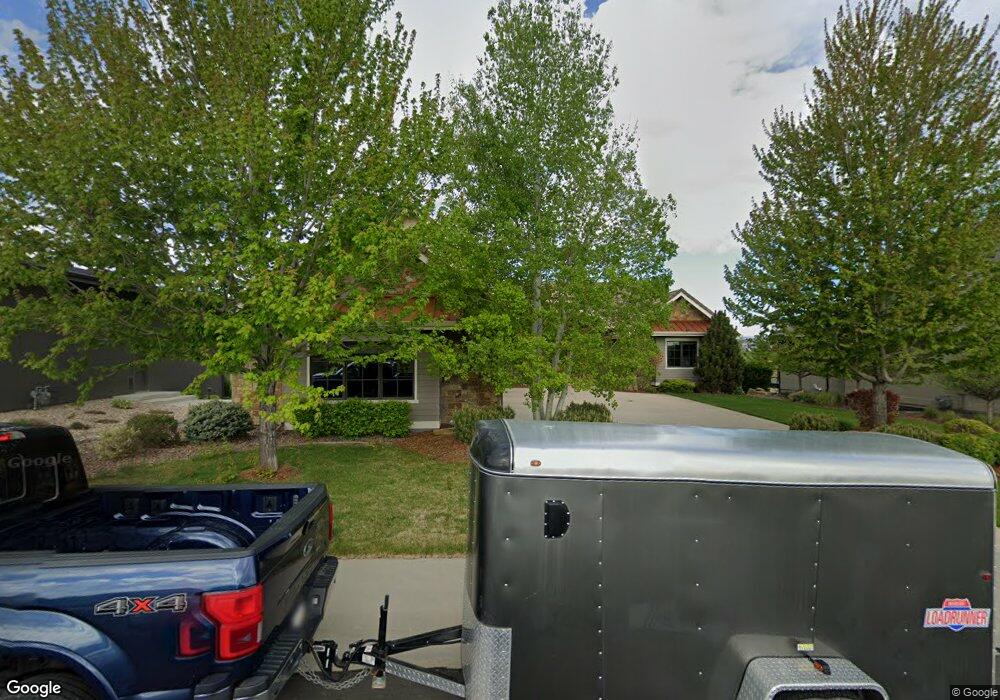
6051 Last Pointe Dr Windsor, CO 80550
Estimated Value: $2,420,880 - $2,600,000
6
Beds
7
Baths
8,203
Sq Ft
$305/Sq Ft
Est. Value
About This Home
This home is located at 6051 Last Pointe Dr, Windsor, CO 80550 and is currently estimated at $2,501,293, approximately $304 per square foot. 6051 Last Pointe Dr is a home located in Larimer County with nearby schools including High Plains School, Mountain View High School, and Resurrection Christian School.
Ownership History
Date
Name
Owned For
Owner Type
Purchase Details
Closed on
Mar 11, 2024
Sold by
Nguyen Steve and Nguyen Racole
Bought by
Martin E Schlom Family Trust
Current Estimated Value
Purchase Details
Closed on
Dec 6, 2018
Sold by
Joseph D Edelberg Investments Trust
Bought by
Nguyen Steve
Purchase Details
Closed on
Oct 3, 2008
Sold by
Highpoint Vista Llc
Bought by
Nguyen Steven and Nguyen Racole
Home Financials for this Owner
Home Financials are based on the most recent Mortgage that was taken out on this home.
Original Mortgage
$172,500
Interest Rate
7.25%
Mortgage Type
Purchase Money Mortgage
Create a Home Valuation Report for This Property
The Home Valuation Report is an in-depth analysis detailing your home's value as well as a comparison with similar homes in the area
Purchase History
| Date | Buyer | Sale Price | Title Company |
|---|---|---|---|
| Martin E Schlom Family Trust | $2,500,000 | None Listed On Document | |
| Nguyen Steve | $406,500 | First American Title | |
| Nguyen Steven | $230,000 | Fahtco | |
| Highpoint Vista Llc | -- | Fahtco |
Source: Public Records
Mortgage History
| Date | Status | Borrower | Loan Amount |
|---|---|---|---|
| Previous Owner | Nguyen Steven | $172,500 |
Source: Public Records
Tax History
| Year | Tax Paid | Tax Assessment Tax Assessment Total Assessment is a certain percentage of the fair market value that is determined by local assessors to be the total taxable value of land and additions on the property. | Land | Improvement |
|---|---|---|---|---|
| 2025 | $18,032 | $118,144 | $16,875 | $101,269 |
| 2024 | $17,611 | $140,204 | $15,745 | $124,459 |
| 2022 | $13,098 | $99,038 | $13,226 | $85,812 |
| 2021 | $13,319 | $101,887 | $13,606 | $88,281 |
| 2020 | $12,502 | $95,567 | $11,726 | $83,841 |
| 2019 | $12,371 | $95,567 | $11,726 | $83,841 |
| 2018 | $11,084 | $83,333 | $8,856 | $74,477 |
| 2017 | $10,144 | $83,333 | $8,856 | $74,477 |
| 2016 | $10,261 | $85,140 | $6,527 | $78,613 |
| 2015 | $10,168 | $85,140 | $6,530 | $78,610 |
| 2014 | $11,854 | $96,760 | $4,620 | $92,140 |
Source: Public Records
Map
Nearby Homes
- 5771 Last Pointe Dr
- 6325 Sanctuary Dr
- 8241 White Owl Ct
- 8360 White Owl Ct
- 8773 Longs Peak Cir
- 7258 Spanish Bay Dr
- 7230 Spanish Bay Dr
- 6682 Crooked Stick Dr
- 7078 Spanish Bay Dr
- 7027 Ruidoso Dr
- 8736 Blackwood Dr
- 6233 Vernazza Way Unit 4
- 6233 Vernazza Way Unit 3
- 6245 Vernazza Way Unit 3
- 6672 Crystal Downs Dr Unit 3-204
- 6227 Vernazza Way Unit 2
- 6227 Vernazza Way Unit 3
- 6227 Vernazza Way Unit 4
- 6227 Vernazza Way Unit 1
- 7401 Turnbull Ct
- 6051 Last Pointe Ct
- 6071 Last Pointe Dr
- 6031 Last Pointe Dr
- 6031 Last Pointe Ct
- 6091 Last Pointe Dr
- 6011 Last Pointe Dr
- 6111 Last Pointe Dr
- 5991 Last Pointe Dr
- 5990 Last Pointe Dr
- 5971 Last Pointe Dr
- 5970 Last Pointe Dr
- 7836 Blackwood Dr
- 5951 Last Pointe Dr
- 5950 Last Pointe Dr
- 5931 Last Pointe Dr
- 5910 Last Pointe Dr
- 7875 Blackwood Dr
- 7855 Blackwood Dr
- 7856 Blackwood Dr
- 5911 Last Pointe Dr
Your Personal Tour Guide
Ask me questions while you tour the home.