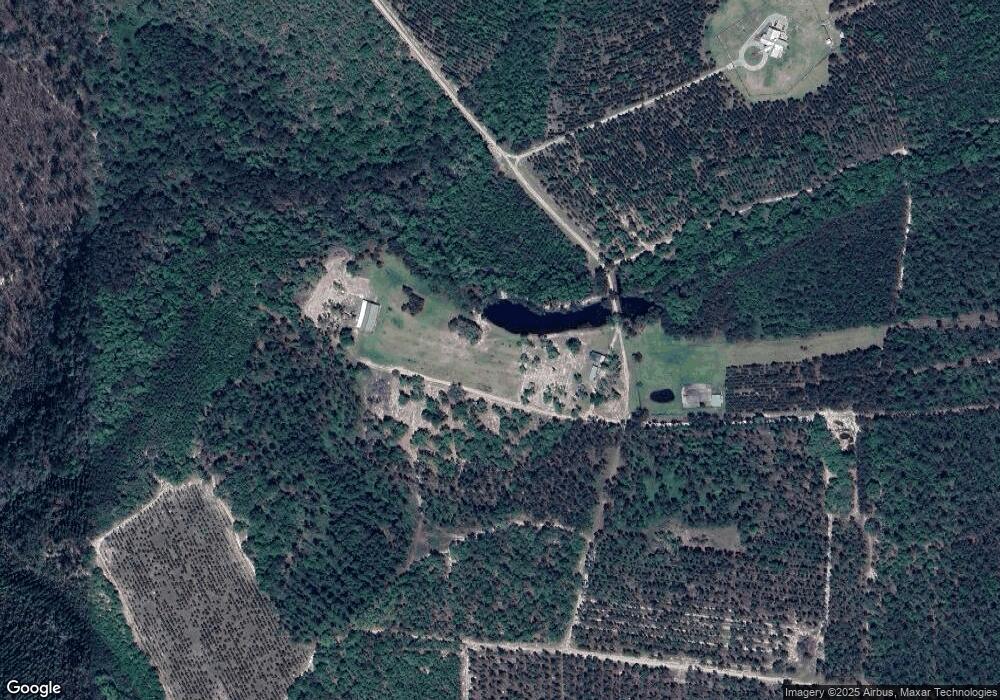
6051 Left Fork Rd Millwood, GA 31552
Estimated Value: $403,673 - $527,000
1
Bed
1
Bath
1,080
Sq Ft
$412/Sq Ft
Est. Value
About This Home
This home is located at 6051 Left Fork Rd, Millwood, GA 31552 and is currently estimated at $444,668, approximately $411 per square foot. 6051 Left Fork Rd is a home located in Ware County with nearby schools including Waresboro Elementary School, Ware County Middle School, and Ware County High School.
Ownership History
Date
Name
Owned For
Owner Type
Purchase Details
Closed on
Jul 18, 2013
Sold by
Agstar Financial Svcs
Bought by
Brown Rodney H and Brown Sheena K
Current Estimated Value
Home Financials for this Owner
Home Financials are based on the most recent Mortgage that was taken out on this home.
Original Mortgage
$175,000
Outstanding Balance
$41,455
Interest Rate
3.96%
Mortgage Type
New Conventional
Estimated Equity
$403,213
Purchase Details
Closed on
May 19, 2011
Sold by
Mortgage Sources Corp
Bought by
Agstar Financial Services Flca
Purchase Details
Closed on
Apr 11, 2011
Sold by
Nolan Jeff and Nolan Catherine
Bought by
Motrgage Sources Corp
Create a Home Valuation Report for This Property
The Home Valuation Report is an in-depth analysis detailing your home's value as well as a comparison with similar homes in the area
Home Values in the Area
Average Home Value in this Area
Purchase History
| Date | Buyer | Sale Price | Title Company |
|---|---|---|---|
| Brown Rodney H | $225,000 | -- | |
| Agstar Financial Services Flca | -- | -- | |
| Motrgage Sources Corp | -- | -- |
Source: Public Records
Mortgage History
| Date | Status | Borrower | Loan Amount |
|---|---|---|---|
| Open | Brown Rodney H | $175,000 |
Source: Public Records
Tax History Compared to Growth
Tax History
| Year | Tax Paid | Tax Assessment Tax Assessment Total Assessment is a certain percentage of the fair market value that is determined by local assessors to be the total taxable value of land and additions on the property. | Land | Improvement |
|---|---|---|---|---|
| 2024 | $1,700 | $107,575 | $59,629 | $47,946 |
| 2023 | $1,700 | $89,236 | $57,354 | $31,882 |
| 2022 | $1,621 | $89,236 | $57,354 | $31,882 |
| 2021 | $1,558 | $72,618 | $46,358 | $26,260 |
| 2020 | $1,530 | $71,815 | $46,358 | $25,457 |
| 2019 | $1,514 | $71,012 | $46,358 | $24,654 |
| 2018 | $1,483 | $70,208 | $46,358 | $23,850 |
| 2017 | $1,444 | $70,208 | $46,358 | $23,850 |
| 2016 | $1,444 | $70,208 | $46,358 | $23,850 |
Source: Public Records
Map
Nearby Homes
- 6860 Douglas Hwy
- 7213 Albany Hwy
- 149 Red Bluff Rd
- 1398 Adventure Trail
- 00 Branch Farm Rd
- 6689 Thorn Bird Rd
- 0 Grey Hawk Rd
- 1125 Barn Owl Ln
- S S River Rd
- 405 Hubert Bennett Ln
- 82 Old 122 Hwy E
- 6007 Quick Draw Rd
- 4263 N River Rd
- 0 Perch Creek Trail Unit 10600480
- 4535 Oak View Cir
- 4525 Oak View Rd
- 6556 Alma Hwy
- 121 Farms Edge Rd
- 4427 Pine Valley Rd
- 1000 Lewis Davis Rd
