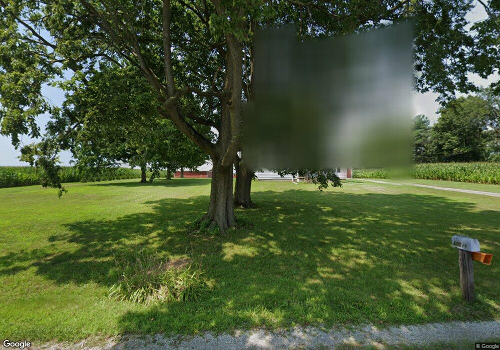
60519 Cedar Rd Mishawaka, IN 46544
Estimated Value: $146,000 - $400,950
4
Beds
3
Baths
1,728
Sq Ft
$173/Sq Ft
Est. Value
About This Home
This home is located at 60519 Cedar Rd, Mishawaka, IN 46544 and is currently estimated at $299,738, approximately $173 per square foot. 60519 Cedar Rd is a home located in St. Joseph County with nearby schools including Madison Elementary School, Virgil I. Grissom Middle School, and Penn High School.
Ownership History
Date
Name
Owned For
Owner Type
Purchase Details
Closed on
Apr 3, 2023
Sold by
Doktor Jeane C
Bought by
Fink Thomas and Fink Jennifer
Current Estimated Value
Purchase Details
Closed on
Mar 29, 2023
Sold by
Doktor Jeane C
Bought by
Fink Thomas and Fink Jennifer
Purchase Details
Closed on
May 12, 2017
Sold by
Decloedt Trust
Bought by
Doktor John E and Doktor Jeane C
Purchase Details
Closed on
Aug 2, 2005
Sold by
Decloedt John Carl and Decloedt Donnabelle Louise
Bought by
Decloedt John Carl and Decloedt Donnabelle Louise
Create a Home Valuation Report for This Property
The Home Valuation Report is an in-depth analysis detailing your home's value as well as a comparison with similar homes in the area
Home Values in the Area
Average Home Value in this Area
Purchase History
| Date | Buyer | Sale Price | Title Company |
|---|---|---|---|
| Fink Thomas | -- | -- | |
| Fink Thomas | -- | -- | |
| Doktor John E | -- | -- | |
| Decloedt Trust | -- | -- | |
| Decloedt John Carl | -- | None Available |
Source: Public Records
Tax History Compared to Growth
Tax History
| Year | Tax Paid | Tax Assessment Tax Assessment Total Assessment is a certain percentage of the fair market value that is determined by local assessors to be the total taxable value of land and additions on the property. | Land | Improvement |
|---|---|---|---|---|
| 2024 | $2,533 | $174,200 | $21,700 | $152,500 |
| 2023 | $1,948 | $135,300 | $135,300 | $0 |
| 2022 | $1,948 | $106,800 | $106,800 | $0 |
| 2021 | $1,948 | $91,900 | $91,900 | $0 |
| 2020 | $1,922 | $91,700 | $91,700 | $0 |
| 2019 | $2,334 | $111,800 | $111,800 | $0 |
| 2018 | $2,316 | $115,400 | $115,400 | $0 |
| 2017 | $5,350 | $267,500 | $202,700 | $64,800 |
| 2016 | $4,709 | $278,900 | $213,700 | $65,200 |
| 2014 | $4,785 | $269,800 | $199,400 | $70,400 |
Source: Public Records
Map
Nearby Homes
- Lot 682A Stoneham Dr Unit 682A
- Lot 681A Stoneham Dr Unit 681A
- 1725 Stoneham
- Lot 619A Stoneham Unit 619
- Lot 683A Stoneham Unit 683
- VL Blackberry Rd
- 1602 Stoneham
- 61701 Elm Rd
- 13982 Kline Rd
- Lot 677A Rosemont Place Unit 677A
- Lot 607A Rosemont Place Unit 607A
- Lot 608A Rosemont Place Unit 608A
- 4020 Stonegate Dr
- 3964 Stonegate Dr
- 3811 Dudley Dr
- 1568 Blanchard Dr
- 11249 Hemlock Dr
- 58696 Lake Heather Ct
- 1556 Conant Ct
- 14251 Dragoon Trail
- 60465 Cedar Rd
- 60409 Cedar Rd
- 60590 Cedar Rd
- 60650 Cedar Rd
- 60349 Cedar Rd
- 60350 Cedar Rd
- 60335 Cedar Rd
- 60303 Cedar Rd
- 60296 Cedar Rd
- 60191 Cedar Rd
- 60115 Cedar Rd
- 11997 Kern Rd
- 60049 Cedar Rd
- 60008 Cedar Rd
- 12295 Kern Rd
- 12395 Kern Rd
- 59901 Cedar Rd
- 12092 Dragoon Trail
- 12160 Dragoon Trail
- 61198 Cedar Rd