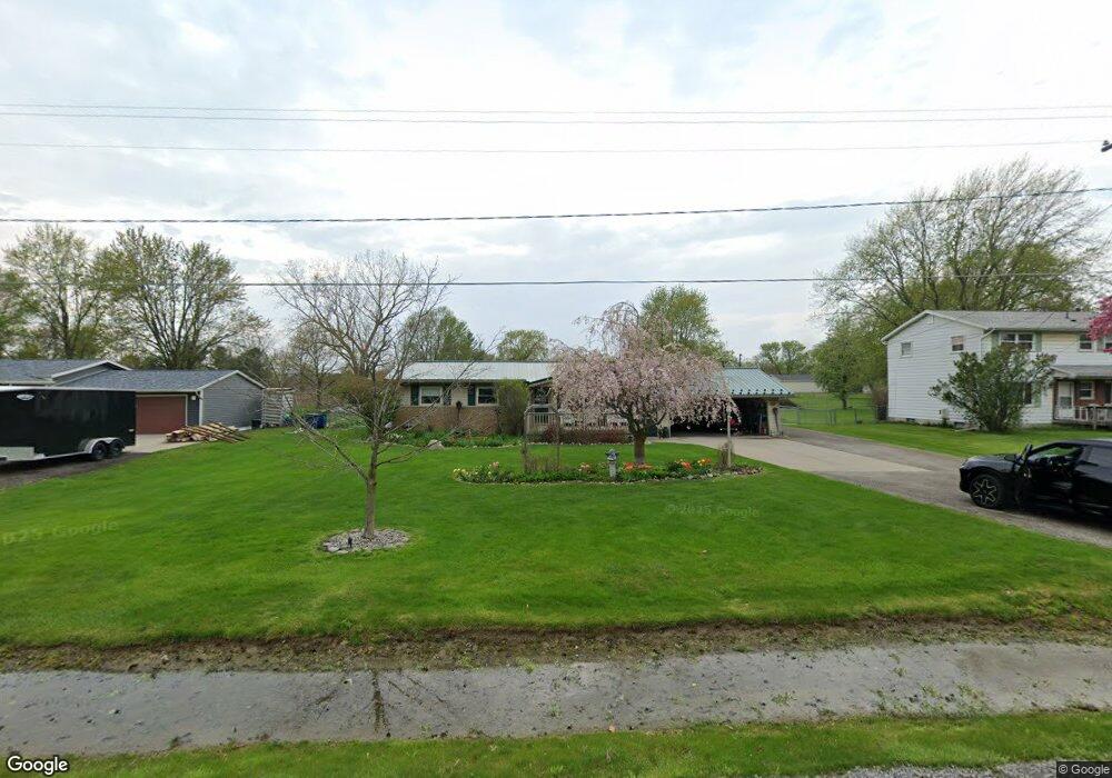
6052 Sharp Rd Swartz Creek, MI 48473
Estimated Value: $239,073 - $259,000
Studio
1
Bath
1,092
Sq Ft
$228/Sq Ft
Est. Value
About This Home
This home is located at 6052 Sharp Rd, Swartz Creek, MI 48473 and is currently estimated at $249,268, approximately $228 per square foot. 6052 Sharp Rd is a home located in Genesee County with nearby schools including Elms Road Elementary School, Syring Elementary School, and Morrish Elementary School.
Ownership History
Date
Name
Owned For
Owner Type
Purchase Details
Closed on
Jun 27, 2000
Sold by
Leduc Daniel E and Leduc Ruby Peggy
Bought by
Lampe Gene and Lampe Sherri
Current Estimated Value
Home Financials for this Owner
Home Financials are based on the most recent Mortgage that was taken out on this home.
Original Mortgage
$50,000
Outstanding Balance
$18,154
Interest Rate
8.64%
Mortgage Type
Purchase Money Mortgage
Estimated Equity
$231,114
Purchase Details
Closed on
Jun 10, 1999
Sold by
Carson Richard
Bought by
Leduc Daniel E and Leduc Ruby Peggy
Create a Home Valuation Report for This Property
The Home Valuation Report is an in-depth analysis detailing your home's value as well as a comparison with similar homes in the area
Home Values in the Area
Average Home Value in this Area
Purchase History
| Date | Buyer | Sale Price | Title Company |
|---|---|---|---|
| Lampe Gene | $131,000 | Greco Title | |
| Leduc Daniel E | $126,500 | Lawyers Title |
Source: Public Records
Mortgage History
| Date | Status | Borrower | Loan Amount |
|---|---|---|---|
| Open | Lampe Gene | $50,000 |
Source: Public Records
Tax History
| Year | Tax Paid | Tax Assessment Tax Assessment Total Assessment is a certain percentage of the fair market value that is determined by local assessors to be the total taxable value of land and additions on the property. | Land | Improvement |
|---|---|---|---|---|
| 2025 | $2,075 | $94,500 | $0 | $0 |
| 2024 | $1,203 | $89,000 | $0 | $0 |
| 2023 | $1,148 | $80,800 | $0 | $0 |
| 2022 | $1,819 | $74,100 | $0 | $0 |
| 2021 | $1,791 | $70,100 | $0 | $0 |
| 2020 | $1,059 | $67,000 | $0 | $0 |
| 2019 | $1,043 | $63,900 | $0 | $0 |
| 2018 | $1,470 | $58,700 | $0 | $0 |
| 2017 | $1,401 | $53,100 | $0 | $0 |
| 2016 | $1,387 | $50,400 | $0 | $0 |
| 2015 | $1,244 | $43,500 | $0 | $0 |
| 2014 | $797 | $41,500 | $0 | $0 |
| 2012 | -- | $39,100 | $39,100 | $0 |
Source: Public Records
Map
Nearby Homes
- 6139 Sharp Rd
- 6170 Victoria Ln
- 6237 Victoria Ln
- 6224 Victoria Ln
- 6285 Victoria Ln
- 6309 Victoria Ln
- 5280 O Connor Pass
- 5214 Bloss Dr
- 6131 Fountain View Dr Unit 49
- 6216 Clubhouse Way
- 5252 Maple Ave
- 6062 Crooked River Dr
- 5141 Maple Ave
- 0 Reid Rd Unit 50201371
- 0 Mitchell Dr Unit 2918482
- 0000 Grand Blanc Rd
- 0 Hidden Forest Dr Unit 30055886
- 53 Bilwa Trail
- 6163 King Arthur Dr
- 6095 Weyerbacher Dr
Your Personal Tour Guide
Ask me questions while you tour the home.