6053 E Mabel Nelson Rd South Range, WI 54874
Estimated Value: $445,120 - $541,000
Studio
--
Bath
--
Sq Ft
5
Acres
About This Home
This home is located at 6053 E Mabel Nelson Rd, South Range, WI 54874 and is currently estimated at $480,530. 6053 E Mabel Nelson Rd is a home with nearby schools including Superior High School.
Ownership History
Date
Name
Owned For
Owner Type
Purchase Details
Closed on
Feb 1, 2021
Sold by
Langley David C
Bought by
Maki Todd D
Current Estimated Value
Purchase Details
Closed on
Apr 25, 2014
Sold by
Thomas Westerman Larry L and Thomas Kimberly A
Bought by
Maki Todd and Maki Courtney
Purchase Details
Closed on
Aug 17, 2010
Sold by
Seim Robert and Seim Rose
Bought by
Westerman Larry L
Purchase Details
Closed on
May 31, 2005
Sold by
Nelson Carol J
Bought by
Seim Robert and Seim Rose
Create a Home Valuation Report for This Property
The Home Valuation Report is an in-depth analysis detailing your home's value as well as a comparison with similar homes in the area
Purchase History
| Date | Buyer | Sale Price | Title Company |
|---|---|---|---|
| Maki Todd D | $40,000 | -- | |
| Maki Todd | $279,500 | -- | |
| Westerman Larry L | $250,000 | -- | |
| Seim Robert | $14,900 | -- |
Source: Public Records
Tax History
| Year | Tax Paid | Tax Assessment Tax Assessment Total Assessment is a certain percentage of the fair market value that is determined by local assessors to be the total taxable value of land and additions on the property. | Land | Improvement |
|---|---|---|---|---|
| 2024 | $4,484 | $226,800 | $15,000 | $211,800 |
| 2023 | $3,696 | $224,200 | $15,000 | $209,200 |
| 2022 | $3,503 | $224,200 | $15,000 | $209,200 |
| 2021 | $3,936 | $224,200 | $15,000 | $209,200 |
| 2020 | $3,977 | $224,200 | $15,000 | $209,200 |
| 2019 | $3,827 | $224,200 | $15,000 | $209,200 |
| 2018 | $3,714 | $224,200 | $15,000 | $209,200 |
| 2017 | $3,903 | $224,200 | $15,000 | $209,200 |
| 2016 | $4,072 | $224,200 | $15,000 | $209,200 |
| 2015 | $200 | $209,200 | $15,000 | $209,200 |
| 2014 | $3,651 | $224,200 | $15,000 | $209,200 |
| 2013 | $4,615 | $224,200 | $15,000 | $209,200 |
Source: Public Records
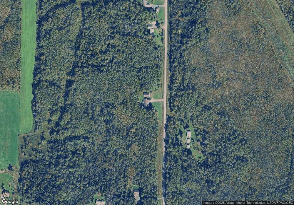
Map
Nearby Homes
- 6692 E County Road C
- 6850 E County Road C
- 6474 S Jacksino Rd
- 3887 S Lyman Lake Rd
- 2910 County Rd E
- 5426 S Darrow Rd
- 4534 E County Road B
- 4090 S County Road A
- 4xxx Valley Brook Rd
- 5600 Otto Rd
- 4390 S Kellogg Rd Unit Town of Amnicon
- 4390 S Kellogg Rd
- 5600 Otto Rd
- 4318 E Valley Brook Rd
- 6407 Tuff Rd
- XXX E Half Mile Rd
- 8148 E Spaulding Rd
- 3469 Ellison Rd
- 59XX Tri Lakes Rd
- 4980 E Tri Lakes Rd
- 5600 Mabel Nelson Rd
- 6111 Mabel Nelson Rd
- 6033 E Mabel Nelson Rd
- 6032 E Mabel Nelson Rd
- 6069 E Mabel Nelson Rd
- 6083 E Mabel Nelson Rd
- 6017 E Mabel Nelson Rd
- 5953 E Mabel Nelson Rd
- 5907 E Mabel Nelson Rd
- 6099 E Mabel Nelson Rd
- 5887 E Mabel Nelson Rd
- 6192 E Mabel Nelson Rd
- 5365 S County Road K
- TBD Bluff Creek Trail
- 5303 S County Road K
- 5225 S County Road K
- 5888 E Mabel Nelson Rd
- 5304 S County Road K
- 5199 S County Road K
- 5226 S County Road K
Your Personal Tour Guide
Ask me questions while you tour the home.