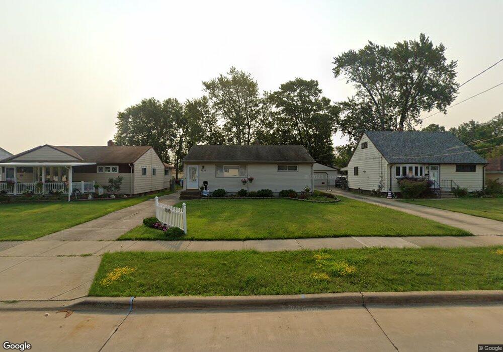
6053 Michael Dr Brookpark, OH 44142
Estimated Value: $165,365 - $218,000
3
Beds
1
Bath
936
Sq Ft
$204/Sq Ft
Est. Value
About This Home
This home is located at 6053 Michael Dr, Brookpark, OH 44142 and is currently estimated at $191,341, approximately $204 per square foot. 6053 Michael Dr is a home located in Cuyahoga County with nearby schools including Berea-Midpark Middle School, Berea-Midpark High School, and Huber Heights Preparatory Academy Parma Academy.
Ownership History
Date
Name
Owned For
Owner Type
Purchase Details
Closed on
May 5, 2005
Sold by
Tielke Richard A and Kerney Tielke Kelly G
Bought by
Gunning Nancy S
Current Estimated Value
Purchase Details
Closed on
May 6, 2004
Sold by
Tielke Richard A and Tielke Kelly G
Bought by
Tielke Richard A and Tielke Kelly G
Purchase Details
Closed on
Mar 6, 1995
Sold by
Shrf Stephen R Walker Pr
Bought by
Transohio Federal Savings Bank
Purchase Details
Closed on
Aug 14, 1990
Sold by
Moritz Richard A
Bought by
Walker Stephen R
Purchase Details
Closed on
Mar 8, 1985
Sold by
Moritz Richard A and D A
Bought by
Moritz Richard A
Purchase Details
Closed on
Jan 1, 1975
Bought by
Moritz Richard A and D A
Create a Home Valuation Report for This Property
The Home Valuation Report is an in-depth analysis detailing your home's value as well as a comparison with similar homes in the area
Home Values in the Area
Average Home Value in this Area
Purchase History
| Date | Buyer | Sale Price | Title Company |
|---|---|---|---|
| Gunning Nancy S | -- | -- | |
| Tielke Richard A | -- | -- | |
| Transohio Federal Savings Bank | $70,000 | -- | |
| Walker Stephen R | $76,500 | -- | |
| Moritz Richard A | -- | -- | |
| Moritz Richard A | -- | -- |
Source: Public Records
Tax History
| Year | Tax Paid | Tax Assessment Tax Assessment Total Assessment is a certain percentage of the fair market value that is determined by local assessors to be the total taxable value of land and additions on the property. | Land | Improvement |
|---|---|---|---|---|
| 2024 | $2,533 | $50,225 | $10,990 | $39,235 |
| 2023 | $2,653 | $43,550 | $8,440 | $35,110 |
| 2022 | $2,634 | $43,540 | $8,440 | $35,110 |
| 2021 | $2,619 | $43,540 | $8,440 | $35,110 |
| 2020 | $2,360 | $34,550 | $6,690 | $27,860 |
| 2019 | $2,290 | $98,700 | $19,100 | $79,600 |
| 2018 | $2,191 | $34,550 | $6,690 | $27,860 |
| 2017 | $2,276 | $31,860 | $6,270 | $25,590 |
| 2016 | $2,258 | $31,860 | $6,270 | $25,590 |
| 2015 | $2,119 | $31,860 | $6,270 | $25,590 |
| 2014 | $2,119 | $31,860 | $6,270 | $25,590 |
Source: Public Records
Map
Nearby Homes
- 6103 Westbrook Dr
- 6014 Westbrook Dr
- 6095 Stark Dr
- 6065 Mercer Dr
- 14024 Donald Dr
- 14761 Larkfield Dr
- 5889 Westbrook Dr
- 14801 Larkfield Dr
- 13442 Havendale Dr
- 13670 Middlebrook Blvd
- 14396 Park Dr
- 13602 Holland Rd
- 5952 Delores Blvd
- 15995 Paulding Blvd
- 6330 Sandfield Dr
- 6386 Sandfield Dr
- 6330 Ledgebrook Dr
- 6377 Ledgebrook Dr
- 16159 Bowfin Blvd
- 6453 Terre Dr
- 6059 Michael Dr
- 6047 Michael Dr
- 6041 Michael Dr
- 6063 Michael Dr
- 6056 Westbrook Dr
- 6052 Westbrook Dr
- 6058 Westbrook Dr
- 6035 Michael Dr
- 6062 Westbrook Dr
- 6069 Michael Dr
- 6048 Westbrook Dr
- 6029 Michael Dr
- 6032 Brook Ct
- 6034 Brook Ct
- 6052 Michael Dr
- 6058 Michael Dr
- 6046 Michael Dr
- 6044 Westbrook Dr
- 6064 Michael Dr
- 6040 Michael Dr
Your Personal Tour Guide
Ask me questions while you tour the home.