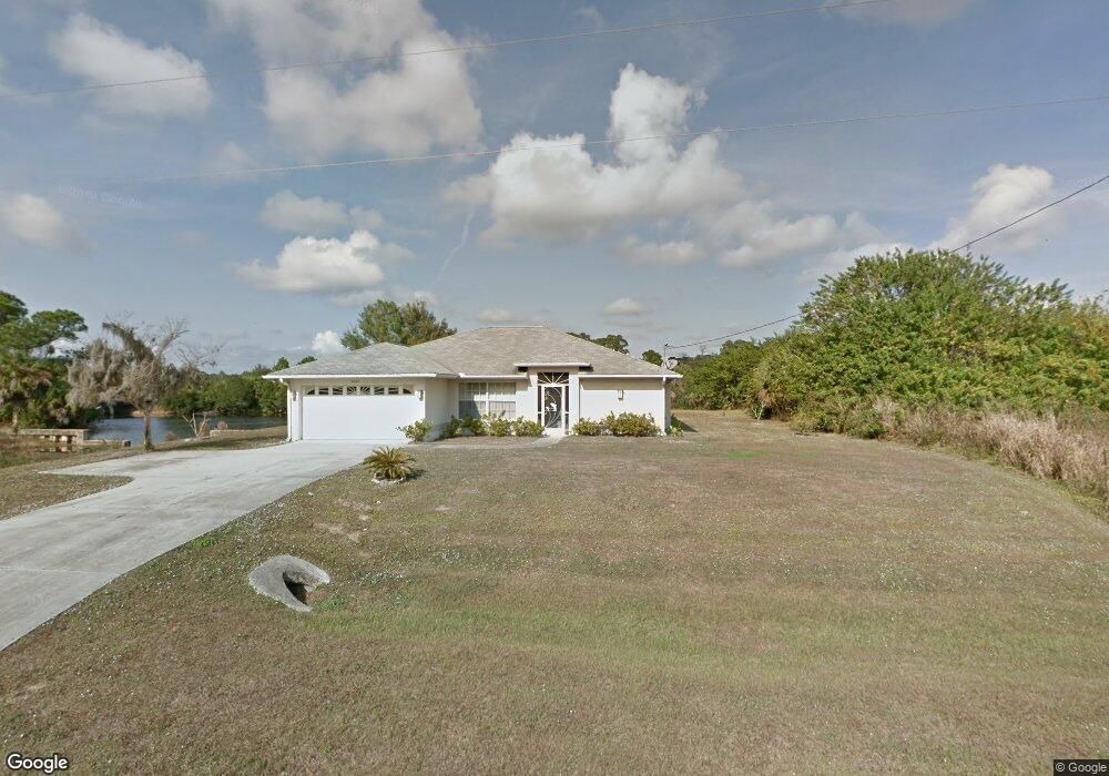
6054 E Hillsborough Blvd North Port, FL 34288
Estimated Value: $322,000 - $394,000
3
Beds
2
Baths
1,584
Sq Ft
$217/Sq Ft
Est. Value
About This Home
This home is located at 6054 E Hillsborough Blvd, North Port, FL 34288 and is currently estimated at $343,944, approximately $217 per square foot. 6054 E Hillsborough Blvd is a home located in Sarasota County with nearby schools including Atwater Elementary School, North Port High School, and Woodland Middle School.
Ownership History
Date
Name
Owned For
Owner Type
Purchase Details
Closed on
Nov 14, 2002
Sold by
Soto Audeliz and Soto Denice M
Bought by
Soto Nancy
Current Estimated Value
Home Financials for this Owner
Home Financials are based on the most recent Mortgage that was taken out on this home.
Original Mortgage
$100,000
Interest Rate
5.98%
Purchase Details
Closed on
Sep 5, 2002
Sold by
Ball Myra and Bell Ralph
Bought by
Soto Audeliz and Soto Denice M
Purchase Details
Closed on
Jan 22, 1997
Sold by
J L Cooper Inc
Bought by
Ball Myra
Purchase Details
Closed on
Jan 25, 1996
Sold by
Atlantic Gulf Com Corp
Bought by
J L Cooper Inc
Create a Home Valuation Report for This Property
The Home Valuation Report is an in-depth analysis detailing your home's value as well as a comparison with similar homes in the area
Home Values in the Area
Average Home Value in this Area
Purchase History
| Date | Buyer | Sale Price | Title Company |
|---|---|---|---|
| Soto Nancy | $135,000 | -- | |
| Soto Audeliz | $135,000 | -- | |
| Ball Myra | $4,500 | -- | |
| J L Cooper Inc | $3,300 | -- |
Source: Public Records
Mortgage History
| Date | Status | Borrower | Loan Amount |
|---|---|---|---|
| Previous Owner | Soto Nancy | $100,000 |
Source: Public Records
Tax History Compared to Growth
Tax History
| Year | Tax Paid | Tax Assessment Tax Assessment Total Assessment is a certain percentage of the fair market value that is determined by local assessors to be the total taxable value of land and additions on the property. | Land | Improvement |
|---|---|---|---|---|
| 2024 | $4,378 | $238,301 | -- | -- |
| 2023 | $4,378 | $277,900 | $22,200 | $255,700 |
| 2022 | $4,163 | $269,600 | $17,900 | $251,700 |
| 2021 | $3,590 | $193,000 | $11,600 | $181,400 |
| 2020 | $3,347 | $175,700 | $11,000 | $164,700 |
| 2019 | $2,883 | $144,400 | $11,500 | $132,900 |
| 2018 | $2,651 | $144,600 | $12,700 | $131,900 |
| 2017 | $2,437 | $114,998 | $0 | $0 |
| 2016 | $2,260 | $110,300 | $3,800 | $106,500 |
| 2015 | $2,112 | $95,500 | $6,000 | $89,500 |
| 2014 | $1,956 | $81,300 | $0 | $0 |
Source: Public Records
Map
Nearby Homes
- 21084 Dearman Ave
- 21068 Dearman Ave
- 21060 Dearman Ave
- 0 Twisdale Cir Unit MFRC7491387
- 0 Twisdale Cir Unit 2025006186
- 0 Twisdale Cir Unit MFRC7491392
- 21036 Dearman Ave
- LOT 13 Mattox Cir
- Lot 12 Mattox Cir
- Lot 7 Mattox Cir
- Lot 11 Mattox Cir
- Lot 14 Penny Cir
- 74 Baldur Dr
- 195 Baldur Dr
- 79 Harvey St
- 19400 Veterans Blvd Unit 3
- 10 Baldur Dr
- Lot 3 Hamburg Dr
- 00 Hamburg Dr
- 105 Ponoka St
- 0 Hillsborough Blvd Unit C691762
- 0 Hillsborough Blvd Unit A4426697
- 6006 E Hillsborough Blvd
- Lot 6 E Hillsborough Blvd
- 26 Yorkshire St
- 21101 Hillsborough Blvd
- 0 London Cir Unit N5911150
- 6198 E Hillsborough Blvd
- 0000 Longfellow Ln
- 5936 E Hillsborough Blvd
- 21083 Hillsborough Blvd
- 21067 Hillsborough Blvd
- 4621 Mattox Cir
- 0 Penny Cir Unit C6994045
- 1148204404 Longfellow Unit 4
- 1148204404 Longfellow
- 00 Longfellow
- Lot 12 Longfellow
- 1148204409 Longfellow
- 21059 Hillsborough Blvd