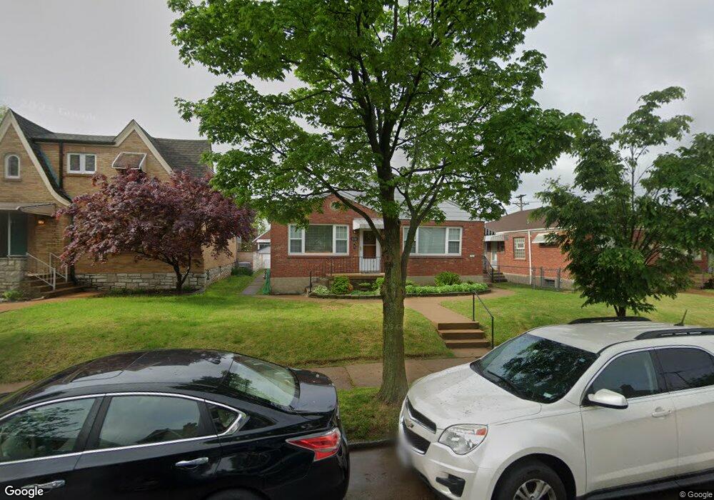
6054 Pernod Ave Saint Louis, MO 63139
Lindenwood Park NeighborhoodEstimated Value: $244,000 - $370,000
--
Bed
2
Baths
3,016
Sq Ft
$98/Sq Ft
Est. Value
About This Home
This home is located at 6054 Pernod Ave, Saint Louis, MO 63139 and is currently estimated at $296,924, approximately $98 per square foot. 6054 Pernod Ave is a home located in St. Louis City with nearby schools including Mason Elementary School, Long International Middle School, and Roosevelt High School.
Ownership History
Date
Name
Owned For
Owner Type
Purchase Details
Closed on
Apr 28, 2020
Sold by
Angeli and Lucia
Bought by
Revocable Living Trust
Current Estimated Value
Purchase Details
Closed on
Feb 27, 2020
Sold by
Angeli and Lucia
Bought by
Revocable Living Trust
Create a Home Valuation Report for This Property
The Home Valuation Report is an in-depth analysis detailing your home's value as well as a comparison with similar homes in the area
Home Values in the Area
Average Home Value in this Area
Purchase History
| Date | Buyer | Sale Price | Title Company |
|---|---|---|---|
| Revocable Living Trust | -- | None Listed On Document | |
| Revocable Living Trust | -- | None Listed On Document | |
| Angeli Silvio | -- | None Available |
Source: Public Records
Tax History Compared to Growth
Tax History
| Year | Tax Paid | Tax Assessment Tax Assessment Total Assessment is a certain percentage of the fair market value that is determined by local assessors to be the total taxable value of land and additions on the property. | Land | Improvement |
|---|---|---|---|---|
| 2025 | $2,737 | $31,940 | $3,900 | $28,040 |
| 2024 | $2,604 | $32,360 | $3,900 | $28,460 |
| 2023 | $2,604 | $32,360 | $3,900 | $28,460 |
| 2022 | $2,396 | $28,650 | $3,900 | $24,750 |
| 2021 | $2,393 | $28,650 | $3,900 | $24,750 |
| 2020 | $2,224 | $26,810 | $3,900 | $22,910 |
| 2019 | $2,216 | $26,810 | $3,900 | $22,910 |
| 2018 | $2,138 | $25,070 | $3,520 | $21,550 |
| 2017 | $2,102 | $25,060 | $3,520 | $21,550 |
| 2016 | $2,081 | $24,490 | $3,520 | $20,980 |
| 2015 | $1,887 | $24,500 | $3,520 | $20,980 |
| 2014 | $1,892 | $24,500 | $3,520 | $20,980 |
| 2013 | -- | $24,570 | $3,520 | $21,050 |
Source: Public Records
Map
Nearby Homes
- 6041 Tholozan Ave
- 6214 Oleatha Ave
- 6325 Marquette Ave
- 3807 Tamm Ave
- 6339 Marquette Ave
- 3905 Tamm Ave
- 5743 Mardel Ave
- 6439 Mardel Ave
- 5716 Pernod Ave
- 6411 Hancock Ave
- 5701 Pernod Ave
- 5736 Lindenwood Ave
- 6517 Tholozan Ave
- 6437 Hancock Ave
- 6300 Fyler Ave
- 5700 Chippewa St
- 6562 Oleatha Ave
- 6315 Bradley Ave
- 3282 Watson Rd
- 6523 Fyler Ave
- 6052 Pernod Ave
- 6200 Pernod Ave
- 6060 Pernod Ave
- 6050 Pernod Ave
- 6046 Pernod Ave
- 6057 Tholozan Ave
- 6053 Tholozan Ave
- 6042 Pernod Ave
- 6061 Tholozan Ave
- 6049 Tholozan Ave
- 6201 Pernod Ave
- 6045 Tholozan Ave
- 6038 Pernod Ave
- 6204 Pernod Ave
- 6055 Pernod Ave
- 6063 Pernod Ave
- 6051 Pernod Ave
- 6201 Tholozan Ave
- 6037 Tholozan Ave
- 6047 Pernod Ave