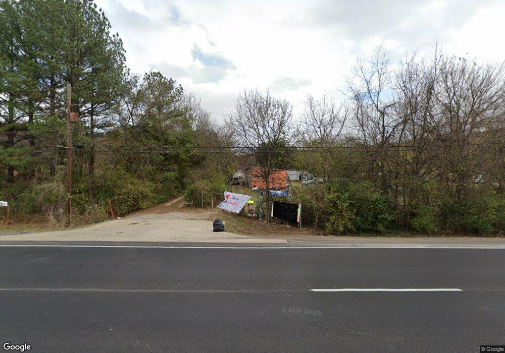
6058 S Highway 71 West Fork, AR 72774
Estimated Value: $109,464
--
Bed
1
Bath
4,512
Sq Ft
$24/Sq Ft
Est. Value
About This Home
This home is located at 6058 S Highway 71, West Fork, AR 72774 and is currently estimated at $109,464, approximately $24 per square foot. 6058 S Highway 71 is a home located in Washington County with nearby schools including Greenland Middle School, Greenland Elementary School, and Greenland High School.
Ownership History
Date
Name
Owned For
Owner Type
Purchase Details
Closed on
Apr 24, 2014
Sold by
Washington County Commissioner
Bought by
Blair Daniel J and Blair June
Current Estimated Value
Purchase Details
Closed on
Nov 7, 1997
Bought by
Blair Daniel J and Blair June
Purchase Details
Closed on
Jan 1, 1985
Bought by
Blair Daniel J and Blair Dorothy B
Create a Home Valuation Report for This Property
The Home Valuation Report is an in-depth analysis detailing your home's value as well as a comparison with similar homes in the area
Home Values in the Area
Average Home Value in this Area
Purchase History
| Date | Buyer | Sale Price | Title Company |
|---|---|---|---|
| Blair Daniel J | $2,317 | None Available | |
| Blair Daniel J | $60,000 | -- | |
| Blair Daniel J | -- | -- |
Source: Public Records
Tax History Compared to Growth
Tax History
| Year | Tax Paid | Tax Assessment Tax Assessment Total Assessment is a certain percentage of the fair market value that is determined by local assessors to be the total taxable value of land and additions on the property. | Land | Improvement |
|---|---|---|---|---|
| 2025 | $717 | $36,570 | $12,000 | $24,570 |
| 2024 | $661 | $36,570 | $12,000 | $24,570 |
| 2023 | $614 | $39,620 | $15,050 | $24,570 |
| 2022 | $658 | $20,630 | $6,520 | $14,110 |
| 2021 | $658 | $20,630 | $6,520 | $14,110 |
| 2020 | $658 | $20,630 | $6,520 | $14,110 |
| 2019 | $749 | $21,690 | $6,520 | $15,170 |
| 2018 | $999 | $20,630 | $6,520 | $14,110 |
| 2017 | $939 | $20,630 | $6,520 | $14,110 |
| 2016 | $989 | $20,630 | $6,520 | $14,110 |
| 2015 | $939 | $20,630 | $6,520 | $14,110 |
| 2014 | $948 | $20,830 | $8,920 | $11,910 |
Source: Public Records
Map
Nearby Homes
- 1329 Homestead Ln
- 0 W Carrol St
- TBD Stockburger Ave
- 14630 E Wallin Mountain Rd
- 215/215B/219 S Peerson St
- 0 Path Trail Rd
- 316 S Napier Ave
- 333 S Napier Ave
- 451 W Horn St
- TBD Butterfield Ave
- 424 W Tanner Dr
- 602 N Centennial Ave
- 0 W Napier Dr Unit Tract 1 1262191
- 0 W Napier Dr Unit 1322099
- 0 W Napier Dr Unit Tract 4 1262201
- 19.7 Acres Arkansas 156
- 12284 Flowers Rd
- 10845 SW Campbell Rd
- N Letitia Ave
- 11084 Pearce Rd