Estimated Value: $286,000 - $363,401
--
Bed
--
Bath
--
Sq Ft
5.48
Acres
About This Home
This home is located at 6059 Scott Street Rd, Omro, WI 54963 and is currently estimated at $324,701. 6059 Scott Street Rd is a home located in Winnebago County with nearby schools including Patch Elementary School, Omro Elementary School, and Omro Middle School.
Ownership History
Date
Name
Owned For
Owner Type
Purchase Details
Closed on
Nov 16, 2015
Sold by
Vanoudenhoven Kim M
Bought by
Thoney April A
Current Estimated Value
Home Financials for this Owner
Home Financials are based on the most recent Mortgage that was taken out on this home.
Original Mortgage
$134,500
Outstanding Balance
$105,611
Interest Rate
3.74%
Mortgage Type
New Conventional
Estimated Equity
$219,090
Create a Home Valuation Report for This Property
The Home Valuation Report is an in-depth analysis detailing your home's value as well as a comparison with similar homes in the area
Home Values in the Area
Average Home Value in this Area
Purchase History
| Date | Buyer | Sale Price | Title Company |
|---|---|---|---|
| Thoney April A | $152,000 | None Available |
Source: Public Records
Mortgage History
| Date | Status | Borrower | Loan Amount |
|---|---|---|---|
| Open | Thoney April A | $134,500 |
Source: Public Records
Tax History Compared to Growth
Tax History
| Year | Tax Paid | Tax Assessment Tax Assessment Total Assessment is a certain percentage of the fair market value that is determined by local assessors to be the total taxable value of land and additions on the property. | Land | Improvement |
|---|---|---|---|---|
| 2024 | $2,384 | $171,100 | $53,100 | $118,000 |
| 2023 | $2,124 | $171,100 | $53,100 | $118,000 |
| 2022 | $2,229 | $171,100 | $53,100 | $118,000 |
| 2021 | $2,155 | $171,100 | $53,100 | $118,000 |
| 2020 | $1,919 | $118,800 | $32,400 | $86,400 |
| 2019 | $1,774 | $118,800 | $32,400 | $86,400 |
| 2018 | $1,877 | $118,800 | $32,400 | $86,400 |
| 2017 | $1,869 | $118,800 | $32,400 | $86,400 |
| 2016 | $1,832 | $118,800 | $32,400 | $86,400 |
| 2015 | $1,840 | $118,800 | $32,400 | $86,400 |
| 2014 | -- | $118,800 | $32,400 | $86,400 |
| 2013 | -- | $118,800 | $32,400 | $86,400 |
Source: Public Records
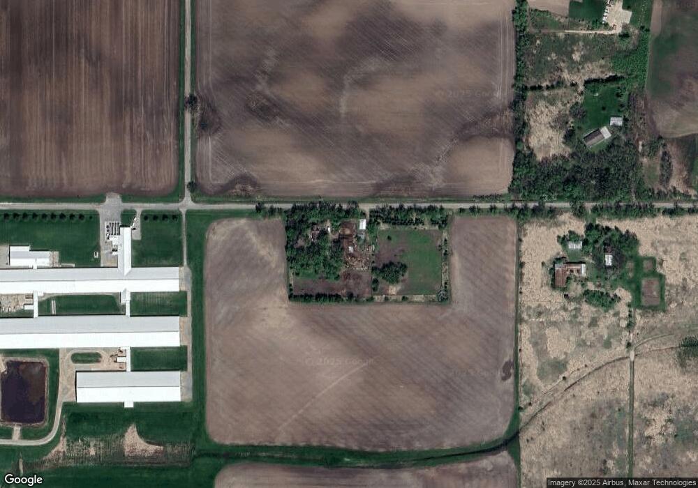
Map
Nearby Homes
- 6059 E Scott St
- 367 Brooke Dr
- 314 Brooke Dr
- 320 Brooke Dr
- 1365-BA Plan at Springview Acres
- 1343-CE Plan at Springview Acres
- 1328-CH Plan at Springview Acres
- 0 Springbrook Rd Unit 1990202
- 364 Brooke Dr
- 366 Brooke Dr
- 1741 Jaimee Dr
- 1110 E Main St
- 768 Konnor Ct
- 1860 Justin Dr
- 220 Brooke Dr Unit 1
- 343 Dakota Lee Way
- 610 Tyler Ave
- 4315 Swallow Banks Ln
- 831 Annrich Ave
- 5304 Fenceline Ln
- 6059 Scott Street Rd
- 5975 Scott Street Rd
- 5970 Scott Street Rd
- 6017 State Road 21
- 6009 State Road 21
- 4028 Rivermoor Rd
- 5954 State Road 21
- 5922 State Road 21
- 5965 State Road 21
- 5996 State Road 21
- 2250 E Scott St Unit 2376
- 4061 Rivermoor Rd
- 2301 E Main St
- 4071 Rivermoor Rd
- 5760 State Road 21
- 5760 State Road 21
- 5877 State Road 21
- 4091 Rivermoor Rd
- 4108 Rivermoor Rd
- 2224 E Main St