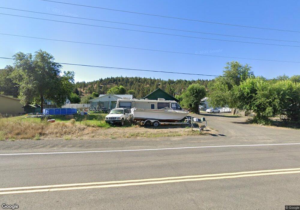
60598 Highway 26 John Day, OR 97845
Estimated Value: $168,000 - $295,000
2
Beds
2
Baths
1,777
Sq Ft
$130/Sq Ft
Est. Value
About This Home
This home is located at 60598 Highway 26, John Day, OR 97845 and is currently estimated at $230,616, approximately $129 per square foot. 60598 Highway 26 is a home located in Grant County with nearby schools including Grant Union Junior/Senior High School.
Ownership History
Date
Name
Owned For
Owner Type
Purchase Details
Closed on
Jul 3, 2017
Sold by
Burr Juanita M
Bought by
Kinsey Kyle L
Current Estimated Value
Home Financials for this Owner
Home Financials are based on the most recent Mortgage that was taken out on this home.
Original Mortgage
$75,000
Outstanding Balance
$62,415
Interest Rate
3.95%
Mortgage Type
New Conventional
Estimated Equity
$168,201
Purchase Details
Closed on
May 7, 2015
Sold by
Secretary Of Hud
Bought by
Burr Juanita M
Purchase Details
Closed on
Jul 16, 2014
Sold by
Smith Merlin and Davila Arellano Kathy Jo
Bought by
Wells Fargo Bank Na
Purchase Details
Closed on
Jul 2, 2008
Sold by
Stewart Ray C and Stewart Sherri K
Bought by
Smith Merlin R
Purchase Details
Closed on
Feb 4, 2007
Sold by
Smith Merlin R
Bought by
Smith Merlin R and Arellano Jo Davila
Create a Home Valuation Report for This Property
The Home Valuation Report is an in-depth analysis detailing your home's value as well as a comparison with similar homes in the area
Home Values in the Area
Average Home Value in this Area
Purchase History
| Date | Buyer | Sale Price | Title Company |
|---|---|---|---|
| Kinsey Kyle L | $93,740 | Western Title & Escrow | |
| Burr Juanita M | $39,940 | Amerititle | |
| Wells Fargo Bank Na | $117,861 | None Available | |
| Smith Merlin R | -- | None Available | |
| Smith Merlin R | -- | None Available |
Source: Public Records
Mortgage History
| Date | Status | Borrower | Loan Amount |
|---|---|---|---|
| Open | Kinsey Kyle L | $75,000 |
Source: Public Records
Tax History Compared to Growth
Tax History
| Year | Tax Paid | Tax Assessment Tax Assessment Total Assessment is a certain percentage of the fair market value that is determined by local assessors to be the total taxable value of land and additions on the property. | Land | Improvement |
|---|---|---|---|---|
| 2024 | $1,436 | $113,843 | $34,630 | $79,213 |
| 2023 | $1,408 | $110,528 | $33,624 | $76,904 |
| 2022 | $1,369 | $107,309 | $23,058 | $84,251 |
| 2021 | $1,325 | $104,184 | $24,275 | $79,909 |
| 2020 | $1,402 | $101,150 | $24,464 | $76,686 |
| 2019 | $1,364 | $98,204 | $24,640 | $73,564 |
| 2018 | $1,321 | $95,344 | $24,981 | $70,363 |
| 2017 | $1,282 | $92,567 | $24,962 | $67,605 |
| 2016 | $1,248 | $89,871 | $21,117 | $68,754 |
| 2015 | $1,233 | $87,254 | $20,502 | $66,752 |
| 2014 | $1,233 | $87,254 | $20,502 | $66,752 |
| 2013 | $1,147 | $84,713 | $19,431 | $65,282 |
Source: Public Records
Map
Nearby Homes
- 0 E Side Ln Unit 201102803
- 0 County Rd 74b Unit 11554207
- 0 Industrial Park Rd Unit 24388826
- 0 Industrial Park Rd Unit 24404920
- 0 Industrial Park Rd Unit 220186207
- 0 Industrial Park Rd Unit 220186217
- 0 Industrial Park Rd Unit 220186224
- 111 Valley View Dr
- 229 Valley View Dr
- 227 Valley View Dr
- 219 Valley View Dr
- 0 W Seventh St
- 27637 La Costa Ave
- 27637 La Costa Rd
- 314 NW 3rd Ave
- 0 Industrial Park Unit 24683015
- 434 NW Charolais Heights
- 0 SW 4th Ave Unit 24562517
- 227 NW 2nd Ave
- 213 NW 4th Ave
- 60608 Hwy 26
- 60596 Highway 26
- 59887 Screech Alley Loop
- 59877 Screech Alley Loop
- 59865 Screech Alley Loop
- 60570 Highway 26
- 60570 U S 26
- 60651 W Hwy 26
- 60561 Highway 26
- 59845 Screech Alley Loop
- 60561 W Hwy 26
- 60553 Highway 26
- 59922 Screech Alley Loop
- 841 Hwy 26
- 841 Highway 26
- 841 Hwy 26
- 841 Highway 26
- 59931 Screech Alley Loop
- 59831 Screech Alley Loop
- 59924 Screech Alley Loop