605C Lake Point Dr Lakewood, NJ 08701
Estimated Value: $209,000 - $241,000
2
Beds
2
Baths
1,246
Sq Ft
$180/Sq Ft
Est. Value
About This Home
This home is located at 605C Lake Point Dr, Lakewood, NJ 08701 and is currently estimated at $224,518, approximately $180 per square foot. 605C Lake Point Dr is a home located in Ocean County with nearby schools including Lakewood High School, Chein Bais Yaakov, and Meoros Bais Yaakov.
Ownership History
Date
Name
Owned For
Owner Type
Purchase Details
Closed on
Dec 28, 2016
Sold by
Sandstrom Lynn
Bought by
Mabie Special Needs Trust
Current Estimated Value
Purchase Details
Closed on
Oct 7, 1994
Sold by
Liepe Jane
Bought by
Sandstorm Lynn
Home Financials for this Owner
Home Financials are based on the most recent Mortgage that was taken out on this home.
Original Mortgage
$76,000
Interest Rate
8.43%
Create a Home Valuation Report for This Property
The Home Valuation Report is an in-depth analysis detailing your home's value as well as a comparison with similar homes in the area
Home Values in the Area
Average Home Value in this Area
Purchase History
| Date | Buyer | Sale Price | Title Company |
|---|---|---|---|
| Mabie Special Needs Trust | $90,000 | -- | |
| Sandstorm Lynn | $94,500 | -- |
Source: Public Records
Mortgage History
| Date | Status | Borrower | Loan Amount |
|---|---|---|---|
| Previous Owner | Sandstorm Lynn | $76,000 |
Source: Public Records
Tax History Compared to Growth
Tax History
| Year | Tax Paid | Tax Assessment Tax Assessment Total Assessment is a certain percentage of the fair market value that is determined by local assessors to be the total taxable value of land and additions on the property. | Land | Improvement |
|---|---|---|---|---|
| 2025 | $2,150 | $86,500 | $13,000 | $73,500 |
| 2024 | $2,045 | $86,500 | $13,000 | $73,500 |
| 2023 | $1,974 | $86,500 | $13,000 | $73,500 |
| 2022 | $1,974 | $86,500 | $13,000 | $73,500 |
| 2021 | $1,970 | $86,500 | $13,000 | $73,500 |
| 2020 | $1,965 | $86,500 | $13,000 | $73,500 |
| 2019 | $1,891 | $86,500 | $13,000 | $73,500 |
| 2018 | $2,004 | $96,500 | $23,000 | $73,500 |
| 2017 | $1,688 | $96,500 | $23,000 | $73,500 |
| 2016 | $1,688 | $57,600 | $25,000 | $32,600 |
| 2015 | $1,633 | $57,600 | $25,000 | $32,600 |
| 2014 | $1,549 | $57,600 | $25,000 | $32,600 |
Source: Public Records
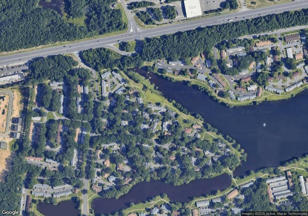
Map
Nearby Homes
- 612A Lake Point Dr
- 586A Lake Point Dr
- 702A Plymouth Dr Unit 702A
- 262A Kingston Ct
- 102 Edinburgh Ln Unit E
- 110F Edinburgh Ln
- 210A Huntington Dr Unit A
- 677B New Castle Ct
- 243D Jefferson Ct Unit 24D
- 271B Kingston Ct Unit 271B
- 681B New Castle Ct
- 111 B E Edinburgh Ln
- 43K Cambridge Ct
- 244D Jefferson Ct
- 282 Huntington Dr Unit C
- 111B Edinburgh Ln
- 42K Cambridge Ct Unit 42K
- 240B Huntington Dr Unit 240B
- 178A Sterling Ct
- 44J Cambridge Ct Unit 2010
- 605C Lake Point Dr Unit C
- 605D Lake Point Dr Unit 605D
- 605D Lake Point Dr Unit 100D
- 605B Lake Point Dr
- 605A Lake Point Dr Unit 605A
- 605A Lake Point Dr Unit 100A
- 606A Lake Point Dr Unit 606
- 606A Lake Point Dr Unit 100A
- 600D Lake Point Dr
- 600D Lake Point Dr Unit 100D
- 606B Lake Point Dr
- 606B Lake Point Dr Unit 100B
- 610A Lake Point Dr Unit 610A
- 610A Lake Point Dr Unit 100A
- 600C Lake Point Dr
- 600C Lake Point Dr Unit 1003
- 610B Lake Point Dr
- 610B Lake Point Dr Unit 100b
- 604B Lake Point Dr Unit 604B
- 609B Lake Point Dr Unit 609B