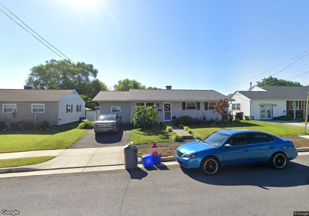
606 Battle Ave Winchester, VA 22601
Estimated Value: $276,000 - $293,925
3
Beds
1
Bath
954
Sq Ft
$298/Sq Ft
Est. Value
About This Home
This home is located at 606 Battle Ave, Winchester, VA 22601 and is currently estimated at $284,231, approximately $297 per square foot. 606 Battle Ave is a home located in Winchester City with nearby schools including Virginia Avenue Charlotte Dehart Elementary School, Daniel Morgan Middle School, and John Handley High School.
Ownership History
Date
Name
Owned For
Owner Type
Purchase Details
Closed on
Jan 10, 2014
Sold by
Tschappat William B and Hoover Amy N
Bought by
Hoover Amy N
Current Estimated Value
Home Financials for this Owner
Home Financials are based on the most recent Mortgage that was taken out on this home.
Original Mortgage
$111,925
Outstanding Balance
$84,691
Interest Rate
4.45%
Mortgage Type
FHA
Estimated Equity
$199,540
Purchase Details
Closed on
Mar 5, 2010
Sold by
Hoover Bruce and Hoover Dorothy B
Bought by
Tschappet Wilalim B and Hoover Amy N
Home Financials for this Owner
Home Financials are based on the most recent Mortgage that was taken out on this home.
Original Mortgage
$90,000
Interest Rate
5%
Mortgage Type
New Conventional
Create a Home Valuation Report for This Property
The Home Valuation Report is an in-depth analysis detailing your home's value as well as a comparison with similar homes in the area
Home Values in the Area
Average Home Value in this Area
Purchase History
| Date | Buyer | Sale Price | Title Company |
|---|---|---|---|
| Hoover Amy N | -- | None Available | |
| Tschappet Wilalim B | $130,000 | None Available |
Source: Public Records
Mortgage History
| Date | Status | Borrower | Loan Amount |
|---|---|---|---|
| Open | Hoover Amy N | $111,925 | |
| Previous Owner | Tschappet Wilalim B | $90,000 |
Source: Public Records
Tax History Compared to Growth
Tax History
| Year | Tax Paid | Tax Assessment Tax Assessment Total Assessment is a certain percentage of the fair market value that is determined by local assessors to be the total taxable value of land and additions on the property. | Land | Improvement |
|---|---|---|---|---|
| 2025 | $1,975 | $248,400 | $60,000 | $188,400 |
| 2024 | $1,841 | $221,800 | $60,000 | $161,800 |
| 2023 | $1,841 | $221,800 | $60,000 | $161,800 |
| 2022 | $1,529 | $164,400 | $60,000 | $104,400 |
| 2021 | $1,529 | $164,400 | $60,000 | $104,400 |
| 2020 | $1,481 | $159,300 | $60,000 | $99,300 |
| 2019 | $1,481 | $159,300 | $60,000 | $99,300 |
| 2018 | $1,402 | $154,100 | $60,000 | $94,100 |
| 2017 | $1,402 | $154,100 | $60,000 | $94,100 |
| 2016 | $1,308 | $143,700 | $60,000 | $83,700 |
| 2015 | $1,308 | $143,700 | $60,000 | $83,700 |
| 2014 | $1,191 | $125,400 | $65,000 | $60,400 |
Source: Public Records
Map
Nearby Homes
- 613 Laurelwood Cir
- 608 Green St
- 723 Berryville Ave
- 715 Berryville Ave
- 117 Boone Ct
- 505 Green St
- 852 Butler Ave
- 513 van Fossen St
- 621 Butler Ave
- 703 National Ave
- 239 Chestnut St
- 1019 Berryville Ave
- 405 1/2 Elm St
- 501 National Ave
- 939 Woodland Ave
- 414 Elm St
- 290 Green St
- 713 Ross St
- 709 Ross St
- 369 Charles St