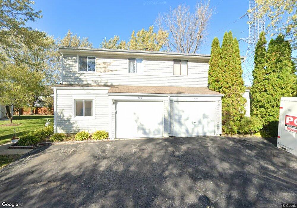
606 Bridgeport Place Unit 36A Wheeling, IL 60090
Estimated Value: $232,094 - $348,000
3
Beds
--
Bath
3,080
Sq Ft
$95/Sq Ft
Est. Value
About This Home
This home is located at 606 Bridgeport Place Unit 36A, Wheeling, IL 60090 and is currently estimated at $292,274, approximately $94 per square foot. 606 Bridgeport Place Unit 36A is a home located in Cook County with nearby schools including Eugene Field Elementary School, Jack London Middle School, and Buffalo Grove High School.
Ownership History
Date
Name
Owned For
Owner Type
Purchase Details
Closed on
Oct 31, 1995
Sold by
Patel Ramesh C and Patel Hansa R
Bought by
Patel Ashok S and Patel Niru A
Current Estimated Value
Home Financials for this Owner
Home Financials are based on the most recent Mortgage that was taken out on this home.
Original Mortgage
$95,000
Interest Rate
7.7%
Create a Home Valuation Report for This Property
The Home Valuation Report is an in-depth analysis detailing your home's value as well as a comparison with similar homes in the area
Home Values in the Area
Average Home Value in this Area
Purchase History
| Date | Buyer | Sale Price | Title Company |
|---|---|---|---|
| Patel Ashok S | $120,000 | -- |
Source: Public Records
Mortgage History
| Date | Status | Borrower | Loan Amount |
|---|---|---|---|
| Closed | Patel Ashok S | $95,000 |
Source: Public Records
Tax History Compared to Growth
Tax History
| Year | Tax Paid | Tax Assessment Tax Assessment Total Assessment is a certain percentage of the fair market value that is determined by local assessors to be the total taxable value of land and additions on the property. | Land | Improvement |
|---|---|---|---|---|
| 2024 | $5,100 | $18,535 | $4,756 | $13,779 |
| 2023 | $4,830 | $18,535 | $4,756 | $13,779 |
| 2022 | $4,830 | $18,535 | $4,756 | $13,779 |
| 2021 | $4,477 | $15,413 | $792 | $14,621 |
| 2020 | $4,442 | $15,413 | $792 | $14,621 |
| 2019 | $4,528 | $17,248 | $792 | $16,456 |
| 2018 | $3,001 | $11,659 | $634 | $11,025 |
| 2017 | $2,961 | $11,659 | $634 | $11,025 |
| 2016 | $3,057 | $11,659 | $634 | $11,025 |
| 2015 | $2,066 | $8,420 | $2,694 | $5,726 |
| 2014 | $2,034 | $8,420 | $2,694 | $5,726 |
| 2013 | $1,858 | $8,420 | $2,694 | $5,726 |
Source: Public Records
Map
Nearby Homes
- 271 Northgate Pkwy Unit 1B
- 823 Cambridge Place Unit 119
- 266 12th St Unit 3
- 928 Woodland Dr
- 640 Mchenry Rd Unit 301
- 908 Jenkins Ct
- 1059 Southbury Ln Unit 1
- 665 Cindy Ln
- 268 7th St
- 195 7th St
- 550 Greystone Ln Unit A2
- 1050 Driftwood Ct Unit 1
- 709 S Dennis Rd
- 40 Prairie Park Dr Unit 707
- 21 Northfield Terrace Unit 21
- 1239 Oboe Ct Unit 33
- 1242 Nova Ct Unit 24
- 577 Fairway View Dr Unit 1J
- 62 Legacy Ln
- 586 Fairway View Dr Unit 1A
- 614 Bridgeport Place Unit 35A
- 608 Bridgeport Place Unit 35B
- 600 Bridgeport Place Unit 36B
- 607 Bridgeport Place Unit 29B
- 609 Bridgeport Place Unit 30A
- 616 Bridgeport Place Unit 34B
- 615 Bridgeport Place Unit 30B
- 601 Bridgeport Place Unit 29A
- 631 Sutton Ct Unit 241
- 631 Sutton Ct Unit 631
- 617 Bridgeport Place Unit 31A
- 617 Bridgeport Place Unit 31A
- 622 Bridgeport Place Unit 34A
- 633 Sutton Ct Unit 242
- 633 Sutton Ct Unit 633
- 635 Sutton Ct Unit 243
- 637 Sutton Ct Unit 244
- 637 Sutton Ct Unit 4
- 623 Bridgeport Place Unit 31B
- 641 Sutton Ct Unit 251