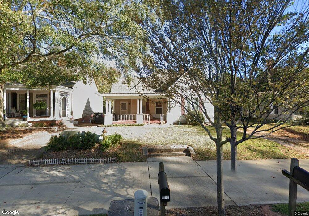
606 Broad St Unit 606B Lagrange, GA 30240
Estimated Value: $171,000 - $268,000
1
Bed
1
Bath
886
Sq Ft
$248/Sq Ft
Est. Value
About This Home
This home is located at 606 Broad St Unit 606B, Lagrange, GA 30240 and is currently estimated at $219,989, approximately $248 per square foot. 606 Broad St Unit 606B is a home located in Troup County with nearby schools including Hollis Hand Elementary School, Ethel W. Kight Elementary School, and Franklin Forest Elementary School.
Ownership History
Date
Name
Owned For
Owner Type
Purchase Details
Closed on
Aug 11, 2004
Sold by
Bradley Mclain R
Bought by
Kenneth T Horlander
Current Estimated Value
Purchase Details
Closed on
Nov 23, 1998
Sold by
Crook J
Bought by
Bradley Mclain R
Purchase Details
Closed on
Aug 25, 1992
Sold by
Joyce Jack M and Joyce Crook
Bought by
Crook J
Purchase Details
Closed on
Jun 3, 1986
Sold by
Louise Towns Jones
Bought by
Joyce Jack M and Joyce Crook
Purchase Details
Closed on
Mar 6, 1980
Bought by
Louise Towns Jones
Purchase Details
Closed on
Nov 17, 1979
Purchase Details
Closed on
Jan 1, 1966
Sold by
Marvin J Dommissee
Create a Home Valuation Report for This Property
The Home Valuation Report is an in-depth analysis detailing your home's value as well as a comparison with similar homes in the area
Purchase History
We collect this data history from publicly available records. To have your information removed, we recommend requesting removal directly through your county’s website.
| Date | Buyer | Sale Price | Title Company |
|---|---|---|---|
| Kenneth T Horlander | $105,000 | -- | |
| Bradley Mclain R | $79,500 | -- | |
| Crook J | -- | -- | |
| Joyce Jack M | $57,000 | -- | |
| Louise Towns Jones | -- | -- | |
| -- | -- | -- | |
| -- | -- | -- |
Source: Public Records
Map
Nearby Homes
- 208 Boulevard
- 603 Piney Woods Dr
- TRACT 1 W Haralson St
- 601 Cherokee Rd
- 304 Boulevard
- 405 W Broome St Unit 2
- 405 W Broome St Unit 3
- 405 W Broome St Unit 4
- 405 W Broome St Unit 1
- 405 W Broome St Unit 5
- 206 Broad St
- 450 Gordon Cir
- 217 Jefferson St
- 408 Harwell Ave
- 0 N Lee St Unit 10550825
- 501 Pineview Terrace
- 310 N Lee St
- 207 Wilkes St
- 600 Park Ave
- 609 Ridley Ave
Your Personal Tour Guide
Ask me questions while you tour the home.