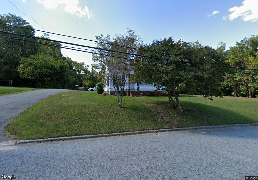
606 Cox Ave Thomasville, NC 27360
Estimated Value: $99,000 - $130,000
2
Beds
1
Bath
1,278
Sq Ft
$87/Sq Ft
Est. Value
About This Home
This home is located at 606 Cox Ave, Thomasville, NC 27360 and is currently estimated at $111,663, approximately $87 per square foot. 606 Cox Ave is a home located in Davidson County with nearby schools including Thomasville Primary School, Liberty Drive Elementary School, and Thomasville Middle School.
Ownership History
Date
Name
Owned For
Owner Type
Purchase Details
Closed on
Oct 31, 2008
Sold by
Bratton Ronald Solicitor and Bratton Mitchell Jerome
Bought by
Bratton Annie Dixon and Bratton Frank
Current Estimated Value
Home Financials for this Owner
Home Financials are based on the most recent Mortgage that was taken out on this home.
Original Mortgage
$99,000
Outstanding Balance
$56,889
Interest Rate
3.69%
Mortgage Type
Reverse Mortgage Home Equity Conversion Mortgage
Estimated Equity
$54,774
Purchase Details
Closed on
Aug 4, 2006
Sold by
Bratton Annie Dixon and Bratton Frank
Bought by
Bratton Ronald Solleltor and Bratton Mitchell Jerome
Create a Home Valuation Report for This Property
The Home Valuation Report is an in-depth analysis detailing your home's value as well as a comparison with similar homes in the area
Home Values in the Area
Average Home Value in this Area
Purchase History
| Date | Buyer | Sale Price | Title Company |
|---|---|---|---|
| Bratton Annie Dixon | -- | Crown Title Corporation | |
| Bratton Ronald Solleltor | -- | None Available |
Source: Public Records
Mortgage History
| Date | Status | Borrower | Loan Amount |
|---|---|---|---|
| Open | Bratton Annie Dixon | $99,000 |
Source: Public Records
Tax History Compared to Growth
Tax History
| Year | Tax Paid | Tax Assessment Tax Assessment Total Assessment is a certain percentage of the fair market value that is determined by local assessors to be the total taxable value of land and additions on the property. | Land | Improvement |
|---|---|---|---|---|
| 2025 | $701 | $52,510 | $0 | $0 |
| 2024 | $701 | $52,510 | $0 | $0 |
| 2023 | $701 | $52,510 | $0 | $0 |
| 2022 | $701 | $52,510 | $0 | $0 |
| 2021 | $703 | $52,510 | $0 | $0 |
| 2020 | $728 | $55,330 | $0 | $0 |
| 2019 | $741 | $55,330 | $0 | $0 |
| 2018 | $741 | $55,330 | $0 | $0 |
| 2017 | $730 | $55,330 | $0 | $0 |
| 2016 | $708 | $55,330 | $0 | $0 |
| 2015 | $708 | $55,330 | $0 | $0 |
| 2014 | $696 | $54,350 | $0 | $0 |
Source: Public Records
Map
Nearby Homes
- 622 Cox Ave
- 502 Culbreth Ave
- 312 Culbreth Ave
- 300 Cox Ave
- 615 Midland Ave
- 129 Jewell St
- 108 Maple Ave
- 707 Willowmoore Ave
- 30 Culbreth Ave
- 106 College St
- 107 College St
- 312 Phillips St
- 17 E Main St
- 904 Ball Park Rd
- 122 Circle Dr
- 101 Montlieu Ave
- 301 Brown St
- 105 School St
- 6 Mock St
- 17 Fisher Ferry St