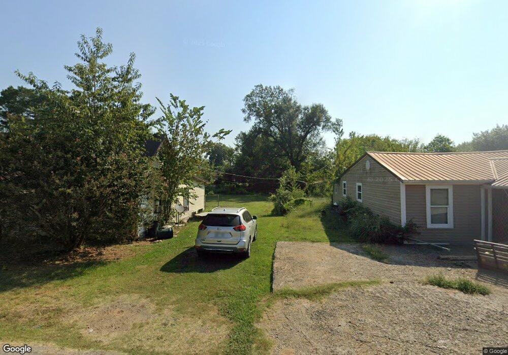
606 Hardy St Poteau, OK 74953
Estimated Value: $54,000 - $89,000
3
Beds
1
Bath
924
Sq Ft
$77/Sq Ft
Est. Value
About This Home
This home is located at 606 Hardy St, Poteau, OK 74953 and is currently estimated at $71,361, approximately $77 per square foot. 606 Hardy St is a home located in Le Flore County with nearby schools including Poteau Primary Elementary School, Poteau Upper Elementary School, and Pansy Kidd Middle School.
Ownership History
Date
Name
Owned For
Owner Type
Purchase Details
Closed on
Nov 3, 2015
Sold by
Goodrich Ira
Bought by
Goodrich Matthew
Current Estimated Value
Purchase Details
Closed on
Apr 18, 2012
Sold by
Hogan James E and Hogan Sarah L
Bought by
Dredrich Dra and Dredrich Matthew
Purchase Details
Closed on
Feb 13, 2008
Sold by
Renfro Joe T and Renfro Martha J
Bought by
Hogan James C and Hogan Sarah L
Purchase Details
Closed on
Dec 10, 2007
Sold by
Hogan James and Hogan Sarah
Bought by
Goodrich Hd and Goodrich Matthew
Purchase Details
Closed on
Jun 29, 2007
Sold by
Renfro Joe T and Renfro Martha J
Bought by
Hogan James C and Hogan Sarah L
Create a Home Valuation Report for This Property
The Home Valuation Report is an in-depth analysis detailing your home's value as well as a comparison with similar homes in the area
Home Values in the Area
Average Home Value in this Area
Purchase History
| Date | Buyer | Sale Price | Title Company |
|---|---|---|---|
| Goodrich Matthew | -- | None Available | |
| Dredrich Dra | -- | None Available | |
| Hogan James C | $52,500 | -- | |
| Goodrich Hd | $12,500 | -- | |
| Hogan James C | $10,000 | -- |
Source: Public Records
Tax History Compared to Growth
Tax History
| Year | Tax Paid | Tax Assessment Tax Assessment Total Assessment is a certain percentage of the fair market value that is determined by local assessors to be the total taxable value of land and additions on the property. | Land | Improvement |
|---|---|---|---|---|
| 2025 | $138 | $2,617 | $550 | $2,067 |
| 2023 | $138 | $2,467 | $550 | $1,917 |
| 2022 | $125 | $2,395 | $550 | $1,845 |
| 2021 | $118 | $2,326 | $550 | $1,776 |
| 2020 | $113 | $2,258 | $550 | $1,708 |
| 2019 | $107 | $2,192 | $550 | $1,642 |
| 2018 | $96 | $2,128 | $550 | $1,578 |
| 2017 | $91 | $2,066 | $550 | $1,516 |
| 2016 | $85 | $2,006 | $550 | $1,456 |
| 2015 | $169 | $1,948 | $550 | $1,398 |
| 2014 | $166 | $1,905 | $550 | $1,355 |
Source: Public Records
Map
Nearby Homes
- 301 Wilson Ave
- 301 Turman St
- 207 Thompson Ave
- 516 Beeler St
- 104 Clark Ave
- 606 Torby Ave
- 701 N Witte St
- 104 Craigway St
- 204 Bowlin Dr
- 308 Peters St
- 205 Bowlin Dr
- 315 College Ave
- 206 Green Ave
- TBD Tract #1 Coggins Ave
- TBD Tract #2 Coggins Ave
- 000 Coggins Ave
- 307 Mission Dr
- TBD Tbd Rural Near Oklahoma Peak
- TBD Mission Dr
- 200 Franzini Dr