606 Maple Ave Point Roberts, WA 98281
Estimated Value: $743,309 - $943,000
3
Beds
3
Baths
2,988
Sq Ft
$289/Sq Ft
Est. Value
About This Home
This home is located at 606 Maple Ave, Point Roberts, WA 98281 and is currently estimated at $862,327, approximately $288 per square foot. 606 Maple Ave is a home located in Whatcom County with nearby schools including Point Roberts Primary School, Blaine Middle School, and Blaine High School.
Ownership History
Date
Name
Owned For
Owner Type
Purchase Details
Closed on
Sep 9, 2021
Sold by
Spencer Marylynne Marie and Spencer Timothy M
Bought by
Spencer Timothy M
Current Estimated Value
Purchase Details
Closed on
Feb 25, 2005
Sold by
Spencer Timothy M and Spencer Marylynne M
Bought by
Spencer Timothy M and Spencer Marylynne Marie
Home Financials for this Owner
Home Financials are based on the most recent Mortgage that was taken out on this home.
Original Mortgage
$137,600
Interest Rate
5.25%
Mortgage Type
New Conventional
Create a Home Valuation Report for This Property
The Home Valuation Report is an in-depth analysis detailing your home's value as well as a comparison with similar homes in the area
Home Values in the Area
Average Home Value in this Area
Purchase History
| Date | Buyer | Sale Price | Title Company |
|---|---|---|---|
| Spencer Timothy M | -- | None Available | |
| Spencer Timothy M | -- | Whatcom Land Title |
Source: Public Records
Mortgage History
| Date | Status | Borrower | Loan Amount |
|---|---|---|---|
| Closed | Spencer Timothy M | $137,600 |
Source: Public Records
Tax History
| Year | Tax Paid | Tax Assessment Tax Assessment Total Assessment is a certain percentage of the fair market value that is determined by local assessors to be the total taxable value of land and additions on the property. | Land | Improvement |
|---|---|---|---|---|
| 2025 | $6,506 | $827,679 | $214,104 | $613,575 |
| 2024 | $6,320 | $819,464 | $211,992 | $607,472 |
| 2023 | $6,320 | $800,192 | $192,720 | $607,472 |
| 2022 | $5,787 | $730,769 | $176,000 | $554,769 |
| 2021 | $5,762 | $607,298 | $160,512 | $446,786 |
| 2020 | $5,725 | $562,306 | $148,621 | $413,685 |
| 2019 | $5,288 | $539,377 | $142,560 | $396,817 |
| 2018 | $5,310 | $484,894 | $128,160 | $356,734 |
| 2017 | $4,601 | $463,101 | $122,400 | $340,701 |
| 2016 | $4,591 | $454,021 | $120,000 | $334,021 |
| 2015 | $4,883 | $440,337 | $115,932 | $324,405 |
| 2014 | -- | $460,337 | $121,200 | $339,137 |
| 2013 | -- | $440,029 | $116,400 | $323,629 |
Source: Public Records
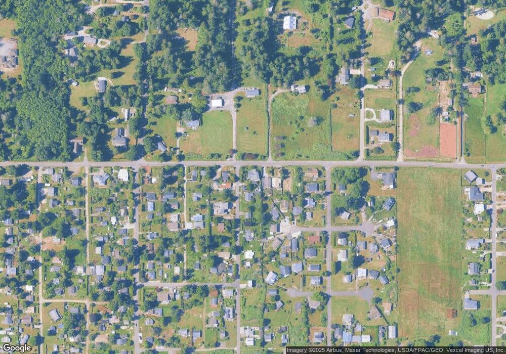
Map
Nearby Homes
- 1940 Apa Rd
- 661 Driftwood Ln
- 2045 Apa Rd
- 1881 Edwards Dr
- 1920 Patos Way
- 2202 Seabright Loop
- 58 Seabright Loop
- 2242 Seabright Loop
- 0 Deer Rd
- 6 Weasel Run Rd
- 1774 Centennial Place
- 2138 Benson Rd
- 1648 Harbor Seal Dr
- 1630 Edwards Dr
- 1587 Harbor Seal Dr
- 1 Mill Rd
- 2 Mill Rd
- 1871 Johnson Rd
- 245 Shady Glen Ave
- 168 Tyee Dr
- 1949 Apa Rd
- 608 Maple Ave
- 1953 Apa Rd
- 620 Maple Ave
- 1954 Saturna Place
- 1956 Saturna Place
- 621 Maple Ave
- 1952 Saturna Place
- 1925 Apa Rd
- 0 Lot 78 Apa Rd
- Lot 5 Apa Rd
- 1960 Saturna Place
- 624 Maple Ave
- 610 Evergreen Ln
- 600 Evergreen Ln
- 623 Maple Ave
- 618 Evergreen Ln
- 622 Evergreen Ln
- 1945 Saturna Place
- 634 Maple Ave
Your Personal Tour Guide
Ask me questions while you tour the home.