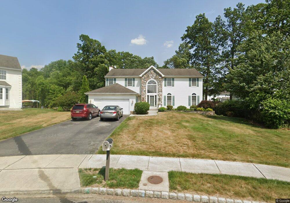
606 Melanie Ct Williamstown, NJ 08094
Monroe Township Gloucester NeighborhoodEstimated Value: $544,880 - $639,000
--
Bed
--
Bath
3,012
Sq Ft
$192/Sq Ft
Est. Value
About This Home
This home is located at 606 Melanie Ct, Williamstown, NJ 08094 and is currently estimated at $579,470, approximately $192 per square foot. 606 Melanie Ct is a home located in Gloucester County with nearby schools including Williamstown High School, St. Mary School, and Finest of the Wheat Christian.
Ownership History
Date
Name
Owned For
Owner Type
Purchase Details
Closed on
Sep 20, 2002
Sold by
Paparone Homes Of New Jersey Inc
Bought by
Paredes Manuel A and Paredes Sandra
Current Estimated Value
Home Financials for this Owner
Home Financials are based on the most recent Mortgage that was taken out on this home.
Original Mortgage
$185,000
Interest Rate
5.65%
Mortgage Type
Purchase Money Mortgage
Create a Home Valuation Report for This Property
The Home Valuation Report is an in-depth analysis detailing your home's value as well as a comparison with similar homes in the area
Home Values in the Area
Average Home Value in this Area
Purchase History
| Date | Buyer | Sale Price | Title Company |
|---|---|---|---|
| Paredes Manuel A | $289,250 | American Title Abstract |
Source: Public Records
Mortgage History
| Date | Status | Borrower | Loan Amount |
|---|---|---|---|
| Closed | Paredes Manuel A | $185,000 |
Source: Public Records
Tax History Compared to Growth
Tax History
| Year | Tax Paid | Tax Assessment Tax Assessment Total Assessment is a certain percentage of the fair market value that is determined by local assessors to be the total taxable value of land and additions on the property. | Land | Improvement |
|---|---|---|---|---|
| 2025 | $10,283 | $280,800 | $57,600 | $223,200 |
| 2024 | $10,207 | $280,800 | $57,600 | $223,200 |
| 2023 | $10,207 | $280,800 | $57,600 | $223,200 |
| 2022 | $10,159 | $280,800 | $57,600 | $223,200 |
| 2021 | $10,224 | $280,800 | $57,600 | $223,200 |
| 2020 | $10,213 | $280,800 | $57,600 | $223,200 |
| 2019 | $10,151 | $280,800 | $57,600 | $223,200 |
| 2018 | $9,985 | $280,800 | $57,600 | $223,200 |
| 2017 | $10,994 | $310,400 | $68,500 | $241,900 |
| 2016 | $10,855 | $310,400 | $68,500 | $241,900 |
| 2015 | $10,544 | $310,400 | $68,500 | $241,900 |
| 2014 | $10,237 | $310,400 | $68,500 | $241,900 |
Source: Public Records
Map
Nearby Homes
- 960 Butler Dr
- 915 Butler Dr
- 179 Presley Way
- 758 N Tuckahoe Rd
- 17 Matthews St
- 366 N Tuckahoe Rd
- 208 Ripley Ct
- 412 Aberdeen Rd
- 23 Genova Ave
- 632 Clayton Rd
- 1240 Glassboro Rd
- 505 Kirkwall Dr
- 1201 Whispering Woods Dr
- 425 Glasgow Rd
- 1825 Hessian Dr
- 161 Deschler Blvd
- 24 W Lois Dr
- 1729 Biden Ln
- 20 Maple Ave
- 32 Burr St
- 1087 Bonnie Blue Cir
- 1091 Bonnie Blue Cir
- 610 Melanie Ct
- 602 Melanie Ct
- 611 Melanie Ct
- 607 Ohara Ct
- 603 Ohara Ct
- 603 Melanie Ct
- 607 Melanie Ct
- 1090 Bonnie Blue Cir
- 611 Ohara Ct
- 1086 Bonnie Blue Cir
- 1094 Bonnie Blue Cir
- 1082 Bonnie Blue Cir
- 1078 Bonnie Blue Cir
- 1075 Bonnie Blue Cir
- 1074 Bonnie Blue Cir
- 610 Sherman Ct
- 614 Ohara Ct
- 1098 Bonnie Blue Cir