606 N Branch Ct Abingdon, MD 21009
Estimated Value: $293,000 - $350,000
Studio
3
Baths
1,374
Sq Ft
$230/Sq Ft
Est. Value
About This Home
This home is located at 606 N Branch Ct, Abingdon, MD 21009 and is currently estimated at $316,303, approximately $230 per square foot. 606 N Branch Ct is a home located in Harford County with nearby schools including Abingdon Elementary School, Edgewood Middle School, and Edgewood High School.
Ownership History
Date
Name
Owned For
Owner Type
Purchase Details
Closed on
Apr 9, 2013
Sold by
Bernal Mayline
Bought by
Bernal Mayline and Bernal Oscar
Current Estimated Value
Home Financials for this Owner
Home Financials are based on the most recent Mortgage that was taken out on this home.
Original Mortgage
$131,443
Outstanding Balance
$92,682
Interest Rate
3.75%
Mortgage Type
FHA
Estimated Equity
$223,621
Purchase Details
Closed on
Mar 1, 2004
Sold by
Knudsen Michele C
Bought by
Bernal Mayline
Purchase Details
Closed on
Mar 21, 2001
Sold by
Johnson Lori C
Bought by
Knudsen Michele C
Purchase Details
Closed on
May 14, 1996
Sold by
Westbrook Homes At
Bought by
Johnson Lori C
Create a Home Valuation Report for This Property
The Home Valuation Report is an in-depth analysis detailing your home's value as well as a comparison with similar homes in the area
Home Values in the Area
Average Home Value in this Area
Purchase History
We collect this data history from publicly available records. To have your information removed, we recommend requesting removal directly through your county’s website.
| Date | Buyer | Sale Price | Title Company |
|---|---|---|---|
| Bernal Mayline | -- | None Available | |
| Bernal Mayline | $159,900 | -- | |
| Knudsen Michele C | $120,000 | -- | |
| Johnson Lori C | $99,365 | -- |
Source: Public Records
Mortgage History
We collect this data history from publicly available records. To have your information removed, we recommend requesting removal directly through your county’s website.
| Date | Status | Borrower | Loan Amount |
|---|---|---|---|
| Open | Bernal Mayline | $131,443 | |
| Closed | Johnson Lori C | -- |
Source: Public Records
Tax History
| Year | Tax Paid | Tax Assessment Tax Assessment Total Assessment is a certain percentage of the fair market value that is determined by local assessors to be the total taxable value of land and additions on the property. | Land | Improvement |
|---|---|---|---|---|
| 2025 | $2,445 | $244,467 | $0 | $0 |
| 2024 | $2,445 | $228,833 | $0 | $0 |
| 2023 | $2,324 | $213,200 | $58,000 | $155,200 |
| 2022 | $2,239 | $205,400 | $0 | $0 |
| 2021 | $2,190 | $197,600 | $0 | $0 |
| 2020 | $2,190 | $189,800 | $58,000 | $131,800 |
| 2019 | $2,165 | $187,600 | $0 | $0 |
| 2018 | $2,120 | $185,400 | $0 | $0 |
| 2017 | $2,095 | $183,200 | $0 | $0 |
| 2016 | $140 | $182,900 | $0 | $0 |
| 2015 | $2,365 | $182,600 | $0 | $0 |
| 2014 | $2,365 | $182,300 | $0 | $0 |
Source: Public Records
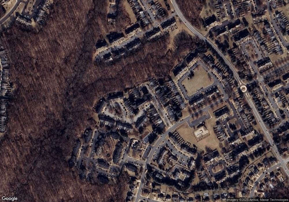
Map
Nearby Homes
- 627 Stone Mill Ct
- 602 N Branch Ct
- 630 Stone Mill Ct
- 615 N Branch Ct
- 631 Nanticoke Ct
- 3318 Midland Ct
- 3637 Longridge Ct
- 330 Fullerton Place
- 426 Kentmore Terrace
- 408 Crisfield Dr
- 3336 Garrison Cir
- 315 Overlea Place
- 3194 Freestone Ct
- 338 Delmar Ct
- 304 Sunray Ct
- 340 Sunray Ct
- 207 Cross Pointe Ct Unit 2D
- 518 June Apple Ct
- 3103 Freestone Ct
- 205 Star Pointe Ct Unit 1C
- 625 Stone Mill Ct
- 629 Stone Mill Ct
- 623 Stone Mill Ct
- 631 Stone Mill Ct
- 621 Stone Mill Ct
- 619 Stone Mill Ct
- 633 Stone Mill Ct
- 617 Stone Mill Ct
- 635 Stone Mill Ct
- 651 Milford Ct
- 649 Milford Ct
- 637 Stone Mill Ct
- 647 Milford Ct
- 653 Milford Ct
- 600 N Branch Ct
- 655 Milford Ct
- 645 Milford Ct
- 615 Stone Mill Ct
- 639 Stone Mill Ct
- 657 Milford Ct
Your Personal Tour Guide
Ask me questions while you tour the home.